25th Annual Black Diamond Fall Fundraising Party
Thursday, September 13; 6:00-10:00 PM; Black Diamond Parking Lot
25th Annual Black Diamond Fall Fundraising Party
Thursday, September 13; 6:00-10:00 PM; Black Diamond Parking Lot
| Advisory: Ogden Area Mountains | Issued by Drew Hardesty for Wednesday - April 5, 2017 - 6:31am |
|---|

|
bottom line The avalanche danger is LOW. Still, minor wet and dry point release avalanches are possible over the next couple of days in steep terrain. Continue to avoid being on or beneath the giant cornices and myriad glide cracks. While not an avalanche issue per-se, "slide-for-life" conditions exist on hard, icy snow.
|
 |
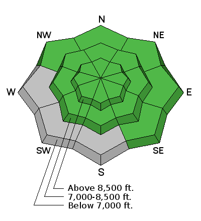
current conditions Skies are mostly clear with mountain temperatures in the upper teens along the upper elevations and the mid-20s at the mid-elevations. Winds are west to southwesterly, blowing 10-15mph. The highest ridgelines are gusting to 20mph. We have another solid refreeze on our hands this morning with rock-hard conditions on the east, south and westerly aspects. These aspects will soften with sun and daytime heating and provide soft corn-like conditions by midday. Sheltered northerly aspects host a couple inches of soft settled powder above a supportable temperature crust. Some wind damage can be found along the upper elevations and in the open bowls of the high terrain. While many low elevation south and westerly aspects have melted off entirely, the upper elevations still boast 100-120" on the ground. |
 |
recent activity No avalanche activity reported from yesterday. |
| type | aspect/elevation | characteristics |
|---|

|

|
LIKELIHOOD
 LIKELY
UNLIKELY
SIZE
 LARGE
SMALL
TREND
 INCREASING DANGER
SAME
DECREASING DANGER
|
|
description
Loose snow avalanches: Generally shallow wet and dry loose snow avalanches are expected over the next couple of days prior to the weekend storm. These should only pose issues for those in and above unforgiving terrain. Cornices: The huge cornices can still fail with the additional weight of a person. Stay well back from their edges, and avoid travel below them. Slide for life: If you plan to travel in steep, icy terrain, have a way to prevent a “slide for life”. Whippets, ice axe, helmet, ski or boot crampons and/or using a rope to belay are safety measures that can help prevent an accident. |
 |
weather High pressure continues to build with some mid and high level clouds filtering through the ranges of northern Utah. Mountain temperatures will rise to the mid to upper 40s at 8500' and the mid-30s along the upper ridgelines. Winds will be westerly at 10-15mph. Temps continue to warm into the upper 30s along the ridgelines tomorrow as the southwest winds increase Thursday night into Friday ahead of a decent storm system for the weekend. More info on our midday to early afternoon Mountain Weather forecast. You can find the link under Weather in the menu bar above. |
general announcements
|


