25th Annual Black Diamond Fall Fundraising Party
Thursday, September 13; 6:00-10:00 PM; Black Diamond Parking Lot
25th Annual Black Diamond Fall Fundraising Party
Thursday, September 13; 6:00-10:00 PM; Black Diamond Parking Lot
| Advisory: Ogden Area Mountains | Issued by Trent Meisenheimer for Thursday - March 16, 2017 - 6:38am |
|---|

|
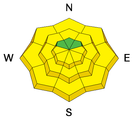
bottom line The overall avalanche danger is MODERATE today for loose wet avalanches, falling cornices, and glide avalanches. With above freezing temperatures overnight and warm temperatures expected today, decent riding conditions will only exist during a very short window this morning. As riding conditions deteriorate, the avalanche danger will increase.
|
 |
special announcement Spring Special: We have a few donated Snowbird, Snowbasin, Solitude, and Brighton discount lift tickets left and have just lowered the price. Ski a day and benefit the Utah Avalanche Center! Order here. Little things can make a big difference if caught in an avalanche. Read all three installments from guest blogger Tom Diegel. Part 1, Part 2, Part 3 |
 |
current conditions Under partly cloudy skies - temperatures once again did not drop below freezing last night. Upper elevation overnight temperatures bottomed out at 35°F. Southerly winds picked up this morning ahead of a weak, mostly dry front. Current upper elevation wind speeds range 15-25 mph with gusts into 40's. My gut tells me that some slopes exposed to the wind have a shallow crust this morning while others do not. Any thin/shallow refreeze will be gobbled up quickly this morning by the intense March sun rays and above average temperatures. North facing slopes at high elevations are a mix of "wind crusts, sastrugi, or boiler plate" snow. Golf anyone? |
 |
recent activity Usual round of wet activity during the heat of the day. Observers commented and are noticing glide cracks opening up in places and getting larger. Powder Mountain ski patrol did note cornices falling in some their periphery terrain. |
| type | aspect/elevation | characteristics |
|---|

|
|
LIKELIHOOD
 LIKELY
UNLIKELY
SIZE
 LARGE
SMALL
TREND
 INCREASING DANGER
SAME
DECREASING DANGER
|
|
description
Overnight temperatures were above freezing on all aspects and elevations throughout the mountains of northern Utah. It will not take much additional sunshine this morning to start the melting process and cause wet avalanches. Some wet slab avalanches are possible depending on where and how liquid water percolates though the snowpack. The best strategy is to start your day early and be out of avalanche terrain during the heat of the day. Avoid being on or underneath steep slopes that are receiving direct sunshine. If you start seeing roller balls on the same aspects you're riding - it's time to move to cooler aspects. Mark Staples - has a really cool observation of him spreading powdered Tang on the snow surface to see where liquid water was moving in the snowpack. Check it out HERE. |
| type | aspect/elevation | characteristics |
|---|

|
|
LIKELIHOOD
LIKELY
UNLIKELY
SIZE
 LARGE
SMALL
TREND
 INCREASING DANGER
SAME
DECREASING DANGER
|
|
description
Cornices break unpredictably both in location and timing. However, they are more prone to breaking during hot weather. Avoid being under or on top of these monsters. They can break well beyond the apex of the ridgeline. Brody Leven was kind enough to share this close call he had with a cornice just the other day while ridge traversing on Timpanogos. He's a very experienced professional skier and it goes to show we need to pay attention when walking on ridges with cornices littered all over the place. Thanks for sharing such a great video with us Brody! |
| type | aspect/elevation | characteristics |
|---|
|

|
LIKELIHOOD
 LIKELY
UNLIKELY
SIZE
LARGE
SMALL
TREND
INCREASING DANGER
SAME
DECREASING DANGER
|
|
description
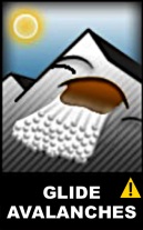
Glide avalanches are just as unpredictable as cornices, but they too are more likely to release during periods of warm weather. Glide cracks are places where the entire snowpack has separated and moved downhill. The start of a glide crack can indicate where glide avalanches can occur, and it's best to avoid being under any slope showing these deep cracks in the snowpack. Common places for glide avalanches are Stairs Gulch, Broads Fork, and Mill B South of Big Cottonwood Canyon, but they can occur other places. Observers in the Provo area mountains also reported new glide cracks starting to open up. |
 |
weather A super weak system will scratch by northern Utah this morning. Unfortunately, it won't be bringing any moisture with it. Winds speeds will increase out of the west-south-west today as the dry front sweeps by. Upper elevations will see speeds of 15-25 mph with gusts into the 40's. Periods of thin to partly cloudy skies with very warm temperatures again. There is another equally weak system moving in on Saturday that could bring rain to 9000'. A more wet and unsettled pattern is shaping up for early next week. |
general announcements
|


