25th Annual Black Diamond Fall Fundraising Party
Thursday, September 13; 6:00-10:00 PM; Black Diamond Parking Lot
25th Annual Black Diamond Fall Fundraising Party
Thursday, September 13; 6:00-10:00 PM; Black Diamond Parking Lot
| Advisory: Logan Area Mountains | Issued by Toby Weed for Saturday - December 16, 2017 - 6:24am |
|---|

|
bottom line Snow in the backcountry is stable and the avalanche danger is Low.
|
 |
special announcement Don’t know what to buy your favorite skier for Christmas? Discount lift tickets for Alta, Snowbird, Brighton, Solitude, Deer Valley, Snowbasin,and Beaver Mountain are now available, donated by the resorts to benefit the Utah Avalanche Center. Details and order information here. These make a great holiday gift and all proceeds go towards paying for avalanche forecasting and education! Now is a great time to sign up for an avalanche class. Go HERE for a list of UAC classes. |
 |
current conditions The Tony Grove Snotel at 8400' reports 24°F and 26" of total snow containing 90% of average SWE (Snow Water Equivalent). It's 20°F at the 9700' CSI Logan Peak weather station, with west-southwest wind currently blowing around 16 mph, and gusting to 37 mph. Snow surface conditions are quite variable, with wind damage up high, a crust on sunny slopes, and widespread very weak recrystallized or faceted snow elsewhere.
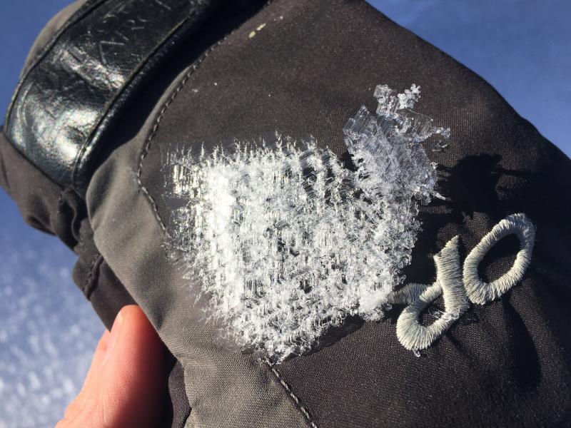
Weak surface snow develops during periods of high pressure. Feathery surface hoar is actually frost growing on the snow surface 12/14/17.
Super-sized surface hoar (12/15/17) |
 |
recent activity No new avalanches were reported in the past week. A natural avalanche cycle occurred at upper elevations during the intense storm on 12/3/17. |
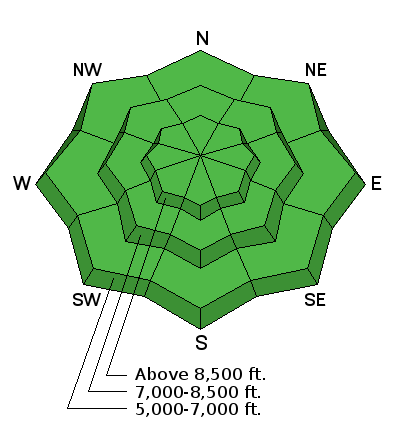
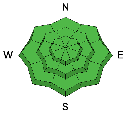
| type | aspect/elevation | characteristics |
|---|

|
|
LIKELIHOOD
 LIKELY
UNLIKELY
SIZE
 LARGE
SMALL
TREND
 INCREASING DANGER
SAME
DECREASING DANGER
|
|
description
With only a couple inches forecast for today, the avalanche danger will not change much. Backcountry snow is mostly stable, and travel is fairly easy on weakening supportable snow. The avalanche danger is Low, which means that avalanches are unlikely. Even so, avalanches are still possible, especially in very steep or extreme terrain. More than expected snowfall and/or wind could cause the danger to increase somewhat in exposed terrain.
|
 |
weather A weakening Pacific storm system will cross the area today bringing light precipitation to northern and western Utah. High pressure aloft will build back into the area beginning Sunday. A new and substantially colder storm system will arrive in Utah for the middle of the upcoming week.
|
| general announcements With rather meager snow conditions and nice weather in the mountains, now is a great time to practice companion rescue techniques with your backcountry partners. EMAIL ADVISORY: If you would like to get the daily advisory by email you will need to subscribe here. Benefit the Utah Avalanche Center when you shop from Backcountry.com or REI: Click this link for Backcountry.com or this link to REI, shop, and they will donate a percent of your purchase price to the UAC. Both offer free shipping (with some conditions) so this costs you nothing! Benefit the Utah Avalanche Center when you buy or sell on ebay - set the Utah Avalanche Center as a favorite non-profit in your ebay account here and click on ebay gives when you buy or sell. You can choose to have your seller fees donated to the UAC, which doesn't cost you a penny. Remember your information can save lives. If you see anything we should know about, please help us out by submitting snow and avalanche conditions. You can also call us at 801-524-5304, email by clicking HERE, or include #utavy in your tweet or Instagram. This advisory is from the U.S.D.A. Forest Service, which is solely responsible for its content. This advisory describes general avalanche conditions and local variations always occur. |