25th Annual Black Diamond Fall Fundraising Party
Thursday, September 13; 6:00-10:00 PM; Black Diamond Parking Lot
25th Annual Black Diamond Fall Fundraising Party
Thursday, September 13; 6:00-10:00 PM; Black Diamond Parking Lot
| Advisory: Logan Area Mountains | Issued by Toby Weed for Sunday - November 19, 2017 - 7:06am |
|---|

|
bottom line MODERATE: Heightened avalanche conditions exist at upper elevations, and dangerous human triggered avalanches up to about 2' deep are possible on steep drifted slopes. A ride in even a small avalanche could be particularly dangerous due to potential for being raked through rocks or deadfall below. Evaluate snow and terrain carefully, and continue to avoid steep drifted slopes at upper elevations.
|
 |
special avalanche bulletin Please join us for our 14 annual "Pray for Snow" fundraiser/party, Thursday, December 7 at 6 PM. This year's new location is at the new Cache Venue, 119 South Main St in downtown Logan. Go HERE for advance tickets and more information. |
 |
current conditions The Tony Grove Snotel at 8400' reports 16°F this morning and 26" of total snow containing 165% of average SWE (Snow Water Equivalent). After a bit of rain on Thursday night, the station picked up 16" of new snow on Friday... It's 16°F this morning, and there's now 28" total settled snow. This morning, winds are out of the south, with CSI Logan Peak showing hourly average wind speeds of 25 to 27 mph, with a gust of 36 mph. Shallow, early season snow conditions exist, and hitting rocks or down and dead wood presents a significant hazard. Travel cautiously and keep your speed down. The Tony Grove Road is not maintained for wheeled travel in the winter, so if you venture up, have all the needed gear, be patient and be ready to dig. Snow stacked nicely on the trees even low down on Beaver Mt. 11/18/17 |
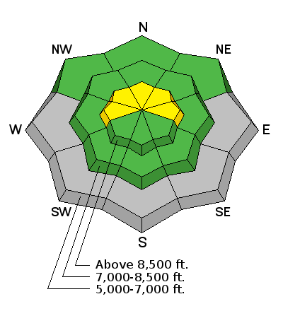
| type | aspect/elevation | characteristics |
|---|

|

|
LIKELIHOOD
 LIKELY
UNLIKELY
SIZE
 LARGE
SMALL
TREND
 INCREASING DANGER
SAME
DECREASING DANGER
|
|
description
Upper elevation slopes in the Bear River Range picked up significant heavy snow with sustained winds on Friday. Heightened avalanche conditions exist this weekend, and triggered persistent slab avalanches are possible on drifted upper elevation slopes with weak preexisting snow. You are most likely to trigger an avalanche at the highest elevations where deep drifts formed and pockets of old faceted snow from September are holding out. |
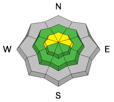
| type | aspect/elevation | characteristics |
|---|

|
|
LIKELIHOOD
LIKELY
UNLIKELY
SIZE
LARGE
SMALL
TREND
 INCREASING DANGER
SAME
DECREASING DANGER
|
|
description
Drifting snow from increasing south wind this morning is creating heightened danger of wind slab avalanches in exposed upper elevation terrain. Watch for and avoid drifts forming near ridges and in and around terrain features like rock outcrops, sub-ridges, scoops, and gullies. Stiff wind slabs have the nasty tendency to wait till you get out on them before releasing. |
 |
weather Sunny and fair weather will continue in the mountains today. A weak weather disturbance will graze northern Utah on Monday, followed by fair weather and an even stronger high pressure aloft returning midweek. Expect high temperatures at 8500' around 32°F today with west-southwest wind 10-15 mph. Clouds will increase tonight, WSW winds will continue in the teens, and temperatures will dip to around 23°F. Snow is possible tomorrow, but less than an inch of accumulation is expected. It'll be mostly cloudy, high temperature around 35°F, and 15 to 20 mph west-southwest winds. |
| general announcements EMAIL ADVISORY If you would like to get the daily advisory by email you will need to subscribe here. Remember your information can save lives. If you see anything we should know about, please help us out by submitting snow and avalanche conditions. You can also call us at 801-524-5304, email by clicking HERE, or include #utavy in your tweet or Instagram. Benefit the Utah Avalanche Center when you shop from Backcountry.com or REI: Click this link for Backcountry.com or this link to REI, shop, and they will donate a percent of your purchase price to the UAC. Both offer free shipping (with some conditions) so this costs you nothing! Benefit the Utah Avalanche Center when you buy or sell on ebay - set the Utah Avalanche Center as a favorite non-profit in your ebay account here and click on ebay gives when you buy or sell. You can choose to have your seller fees donated to the UAC, which doesn't cost you a penny. This information does not apply to developed ski areas or highways where avalanche control is normally done. This advisory is from the U.S.D.A. Forest Service, which is solely responsible for its content. This advisory describes general avalanche conditions and local variations always occur. |


