25th Annual Black Diamond Fall Fundraising Party
Thursday, September 13; 6:00-10:00 PM; Black Diamond Parking Lot
25th Annual Black Diamond Fall Fundraising Party
Thursday, September 13; 6:00-10:00 PM; Black Diamond Parking Lot
| Advisory: Logan Area Mountains | Issued by Toby Weed for Saturday - March 18, 2017 - 7:03am |
|---|

|
bottom line Unseasonably hot temperatures and sun create dangerous wet avalanche conditions on steep slopes in the backcountry. The danger is CONSIDERABLE, and large natural cornice-fall, loose wet, deep slab, wet slab, and glide avalanches are possible, most likely during the heat of the day. Evaluate snow and terrain carefully. Stay off of and out from under large cornices, glide cracks, and steep slopes with warmth-softened saturated snow.
|
 |
special announcement Discount lift tickets for Beaver Mountain, Snowbasin, Powder Mountain, and the Central Wasatch resorts are donated by the resorts to benefit the Utah Avalanche Center. Details and order information here. |
 |
current conditions It's just too hot! Temperatures stayed well above freezing last night across the zone, but clear skies may have allowed a thin superficial surface refreeze. The Tony Grove Snotel at 8400' reports 45 °F and 106" of total snow, with 156% of average SWE (Snow Water Equivalent). It's 43 °F and a 16 mph southwest wind at the 9700' CSI Logan Peak weather station. Rising temperatures will quickly soften the snow surface, and dangerous wet avalanche conditions will develop in steep sunny terrain.
|
 |
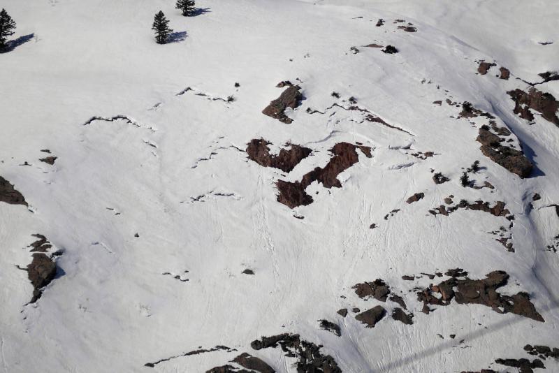
recent activity In the past several days, there was a good deal of natural cornice fall and loose wet avalanche activity in the Logan Zone.
These fresh wet sluffs in State Line Bowl in upper Sink Hollow gouged deeply into loose wet snow and made sizable debris piles. (3/17/17) A large deep slab avalanche was observed Saturday near White Pine Lake. The 4-foot deep and 175' wide avalanche was probably triggered by natural cornice fall from the cliffs above, but there were snowbike and sled tracks in the area. See report here
|
| type | aspect/elevation | characteristics |
|---|

|
|
LIKELIHOOD
 LIKELY
UNLIKELY
SIZE
 LARGE
SMALL
TREND
 INCREASING DANGER
SAME
DECREASING DANGER
|
|
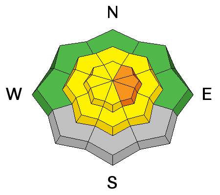
description
After a warm night, heat and sun create heightened wet avalanche conditions earlier today. Surface snow will quickly soften on steep slopes. Dangerous conditions will develop on upper elevation east facing slopes. Triggered and natural loose wet avalanches are possible during the heat of the day.
|
| type | aspect/elevation | characteristics |
|---|

|
|
LIKELIHOOD
 LIKELY
UNLIKELY
SIZE
LARGE
SMALL
TREND
INCREASING DANGER
SAME
DECREASING DANGER
|
|
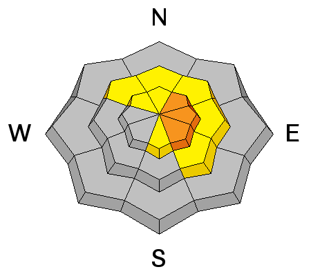
description
Glide and wet slab avalanches avalanches are possible in steep terrain and can occur anytime of day during this unseasonably warm weather.
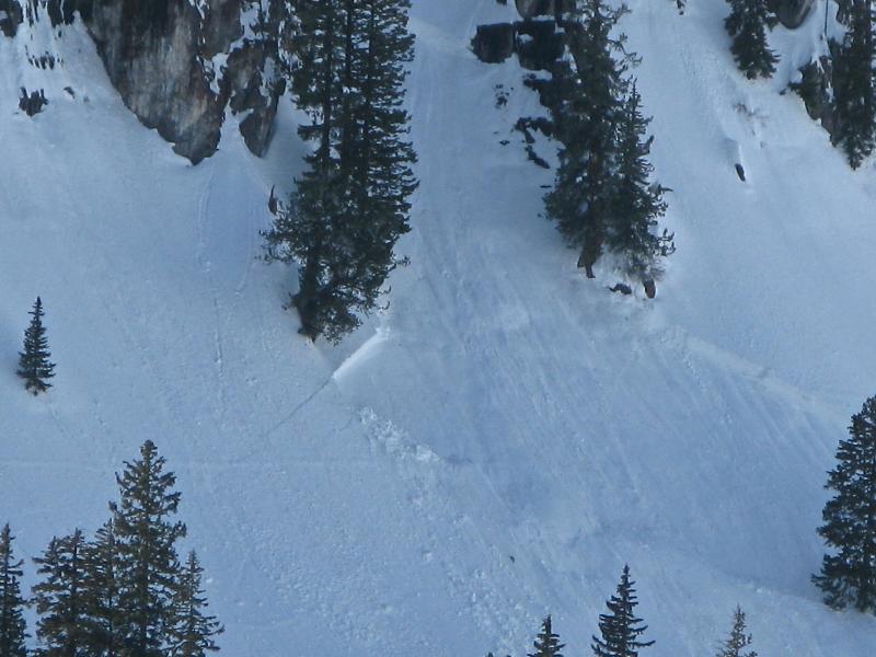
Avoid being under glide cracks like these on the slabs near Rodeo Ridge above the Ogden Valley. In warm weather, you never know when a glide avalanche might occur. Deep slab avalanches are possible as previously drifted upper and mid elevation slopes are warmed and existing hard slabs soften in the heat. A couple of isolated hard slab avalanches failing on weak surface snow and running on a rock-hard rain-crust formed in mid-February have occurred in the last couple weeks on upper elevation east facing slopes.
Isolated hard slab avalanches failing on weak snow above solid 2/10 rain-crust, 3/11 White Pine Lake and 3/3 Hidden Lake, both on east facing slopes above 8500'. Runnels formed by February rain are visible in the bed surfaces...
|
| type | aspect/elevation | characteristics |
|---|

|
|
LIKELIHOOD
LIKELY
UNLIKELY
SIZE
LARGE
SMALL
TREND
INCREASING DANGER
SAME
DECREASING DANGER
|
description
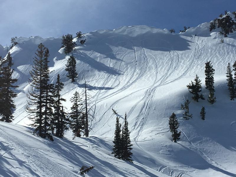
Overhanging cornices the size of enclosed snowmobile trailers are collapsing due to heat and causing wet avalanches. Here's a video from 2011 on Cornice Ridge. Watch as a rider breaks a cornice and takes an unexpected ride down the hill. Tanner Gittins, 2/13/2011 |
 |
weather A very mild southwest flow will exist today. A more active pattern is expected to develop for the first part of next week. Today will be mostly sunny, with a high temperature at 8800' of 56 °F and 13 to 23 mph west-southwest wind, gusting to 33 mph. Tonight, there's a chance of showers, a low temperature of 38 °F and 11 to 17 mph southwest wind, veering from the northwest after midnight. Tomorrow there's a chance of rain and snow showers, skies will be partly sunny, high temperature of 50 °F and 11 to 16 mph west-southwest wind. |
| general announcements Do you buy groceries at Smiths? When you register your Smith’s rewards card with their Community Rewards program, they will donate to the Utah Avalanche Center whenever you make a purchase. It's easy, only takes a minute, and doesn't cost you anything. Details here. If you sign up for AmazonSmile and designate the Utah Avalanche Center as your favorite charity, they will donate a portion of everything you spend to the UAC. It doesn't cost you a penny and we'd really appreciate the help. Your information can save lives. If you see anything we should know please help us out by submitting snow and avalanche observations. You can call us at 801-524-5304, email by clicking HERE, or include @utavy in your Instagram. In the Logan Area you can reach me at 435-757-7578 We will update this advisory regularly on Monday, Wednesday, Friday, and Saturday mornings by about 7:30. This advisory is from the U.S.D.A. Forest Service, which is solely responsible for its content. This advisory describes general avalanche conditions and local variations always exist. |


.JPG)