25th Annual Black Diamond Fall Fundraising Party
Thursday, September 13; 6:00-10:00 PM; Black Diamond Parking Lot
25th Annual Black Diamond Fall Fundraising Party
Thursday, September 13; 6:00-10:00 PM; Black Diamond Parking Lot
| Advisory: Logan Area Mountains | Issued by Toby Weed for Friday - March 10, 2017 - 7:15am |
|---|


|
bottom line Warm weather is creating heightened wet avalanche conditions. Natural and triggered loose wet avalanches are likely in steep terrain at all elevations. Large cornice fall and glide avalanches are possible at any time. Carefully evaluate snow and terrain, and stay off of and out from under large cornices, glide cracks, and steep slopes with saturated snow.
|
 |
special announcement Discount lift tickets for Beaver Mountain, Snowbasin, Powder Mountain, and the Central Wasatch resorts are donated by the resorts to benefit the Utah Avalanche Center. Details and order information here. |
 |
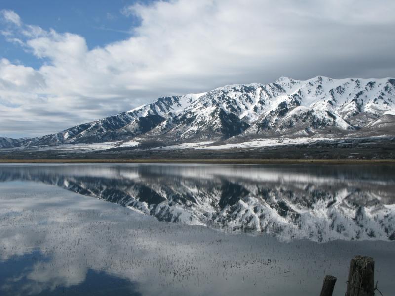
current conditions Temperatures across the zone stayed above or hovered near freezing last night, and clouds prevented long wave radiation heat loss. This morning the Tony Grove Snotel at 8400' reports 37 F and 122" of total snow, with 174% of average SWE (Snow Water Equivalent). It's 31 F at the 9700' CSI Logan Peak weather station, and there's a 26 mph southwest wind. Despite ventilation from wind and shading from clouds, warmth in the mountains is creating heightened wet avalanche conditions at all elevations.
Warm weather is melting deep snow in the mountains, flooding lowlands in Cache Valley, and creating heightened wet avalanche conditions in the backcountry. |
 |
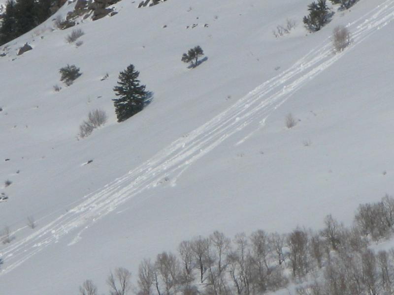
recent activity Natural wind slab and cornice fall avalanches occurred during the windy storm Monday and Tuesday. Small natural wet sluffs and extensive roller balls and pin-wheels were observed across the zone in steep terrain Wednesday and yesterday.
Roller balls on East Banks in Logan Canyon Wednesday afternoon. |
| type | aspect/elevation | characteristics |
|---|

|
|
LIKELIHOOD
 LIKELY
UNLIKELY
SIZE
 LARGE
SMALL
TREND
 INCREASING DANGER
SAME
DECREASING DANGER
|
description
Monster cornices like these in the Wellsville Mountain Wilderness exist on major ridges across the Logan Zone. |
| type | aspect/elevation | characteristics |
|---|

|
|
LIKELIHOOD
 LIKELY
UNLIKELY
SIZE
LARGE
SMALL
TREND
 INCREASING DANGER
SAME
DECREASING DANGER
|
|
description
Rapidly warming temperatures are causing heightened wet avalanche conditions. Triggered and natural loose wet avalanches entraining significant piles of wet snow are possible on slopes steeper than about 30 degrees. Wet slabs, glide avalanches, and large cornice falls are also possible. Watch for signs of wet instability like roller balls, pin-wheels and natural sluffs under trees or rock outcroppings. During warm weather, if snow is wet and sloppy, avoid being on or under steep slopes.
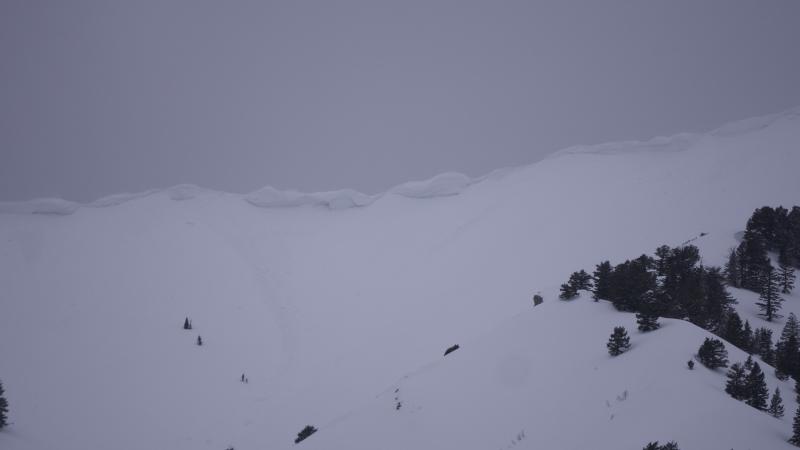
Avoid being under glide cracks like these on Wilderness Peak. In warm weather, you never know when a glide avalanche might occur. |
 |
weather A mild westerly flow aloft will remain in place across the region through the weekend, followed by strong high pressure aloft across the western states for the first half of next week. Today, 1 to 2 inches of snow is possible in the afternoon, 8500' high temperatures will reach 43 F, and west-southwest wind will blow 15 mph. Tonight will be mostly cloudy, then gradually becoming mostly clear, with a low around 23. Northwest wind will blow 13 to 16 mph. It'll be mostly sunny tomorrow, with a high of 41 F, and light northwest wind veering from the southwest in the afternoon. |
| general announcements Do you buy groceries at Smiths? When you register your Smith’s rewards card with their Community Rewards program, they will donate to the Utah Avalanche Center whenever you make a purchase. It's easy, only takes a minute, and doesn't cost you anything. Details here. If you sign up for AmazonSmile and designate the Utah Avalanche Center as your favorite charity, they will donate a portion of everything you spend to the UAC. It doesn't cost you a penny and we'd really appreciate the help. Your information can save lives. If you see anything we should know please help us out by submitting snow and avalanche observations. You can call us at 801-524-5304, email by clicking HERE, or include @utavy in your Instagram. In the Logan Area you can reach me at 435-757-7578 We will update this advisory regularly on Monday, Wednesday, Friday, and Saturday mornings by about 7:30. This advisory is from the U.S.D.A. Forest Service, which is solely responsible for its content. This advisory describes general avalanche conditions and local variations always exist. |