25th Annual Black Diamond Fall Fundraising Party
Thursday, September 13; 6:00-10:00 PM; Black Diamond Parking Lot
25th Annual Black Diamond Fall Fundraising Party
Thursday, September 13; 6:00-10:00 PM; Black Diamond Parking Lot
| Advisory: Logan Area Mountains | Issued by Toby Weed for Saturday - January 28, 2017 - 7:23am |
|---|

|
bottom line Heightened avalanche conditions exist at all elevations, with triggered persistent slab, wind slab, and loose wet avalanches possible. Persistent slab avalanches are possible at mid and lower elevations on slopes with buried surface hoar and in sunny terrain with buried facets above a sun-crust. Evaluate the snow and terrain carefully. Avoid steep drifted terrain, and sunny slopes with saturated surface snow.
|
 |
special announcement Do you buy groceries at Smiths? When you register your Smith’s rewards card with their Community Rewards program, they will donate to the Utah Avalanche Center whenever you make a purchase. It's easy, only takes a minute, and doesn't cost you anything. Details here. |
 |
current conditions Fine deep powder riding conditions exist across the Logan Zone, but rapid accumulation of 2 to 3 feet of snow on weak surface snow Monday and Monday night created dangerous avalanche conditions. With time and settlement the snow will become more stable on most slopes, but areas with unstable snow exist. Two unintentionally triggered avalanches were reported Thursday. The 8400' Tony Grove Snotel reports 22 F and 104" of total snow at the site containing 160% of average SWE (Snow Water Equivalent.) It's 15 F at the CSI Logan Peak weather station at 9700', and the wind is blowing from the northwest at 22 mph.
Eric and Amy Flygare found deep powder near Tony Grove Lake on Wednesday. |
 |
recent activity
|
| type | aspect/elevation | characteristics |
|---|

|
|
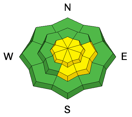
LIKELIHOOD
 LIKELY
UNLIKELY
SIZE
 LARGE
SMALL
TREND
 INCREASING DANGER
SAME
DECREASING DANGER
|
description
|
| type | aspect/elevation | characteristics |
|---|

|
|
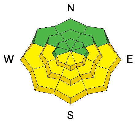
LIKELIHOOD
LIKELY
UNLIKELY
SIZE
LARGE
SMALL
TREND
 INCREASING DANGER
SAME
DECREASING DANGER
|
|
description
Heightened wind slab avalanche conditions exist in drifted terrain.
|
| type | aspect/elevation | characteristics |
|---|

|
|
LIKELIHOOD
LIKELY
UNLIKELY
SIZE
LARGE
SMALL
TREND
 INCREASING DANGER
SAME
DECREASING DANGER
|
|
description
Solar warming will cause a heightened danger of loose wet avalanches during the middle of the day on sunny slopes in sheltered terrain. |
 |
weather Strong high pressure along the West Coast will cross the Great Basin this weekend. High pressure will remain in place through at least the middle of next week. It'll be sunny today, with a 8500' high temperature of 27 F and a 15 to 20 mph northwest wind. It will be clear tonight with a low temperature of 17 F and 15 mph northwest wind. Tomorrow will be partly sunny with a high temperature of 31 F and a 5 to 14 mph west-northwest wind. |
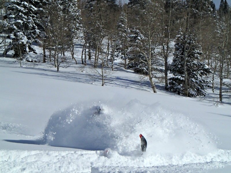
| general announcements Check out this spectacular triggered avalanche from Thursday in Telluride Colorado. Ajax from Caldera Creative on Vimeo. Any time is a great time to practice companion rescue techniques with your partners. Companion Rescue Practice Video If you sign up for AmazonSmile and designate the Utah Avalanche Center as your favorite charity, they will donate a portion of everything you spend to the UAC. It doesn't cost you a penny and we'd really appreciate the help. Discount lift tickets for Beaver Mountain, Snowbasin, Powder Mountain, and the Central Wasatch resorts are donated by the resorts to benefit the Utah Avalanche Center. Details and order information here. Your information can save lives. If you see anything we should know please help us out by submitting snow and avalanche observations. You can call us at 801-524-5304, email by clicking HERE, or include @utavy in your Instagram. In the Logan Area you can reach me at 435-757-7578 We will update this advisory regularly on Monday, Wednesday, Friday, and Saturday mornings by about 7:30. This advisory is from the U.S.D.A. Forest Service, which is solely responsible for its content. This advisory describes general avalanche conditions and local variations always exist. |