25th Annual Black Diamond Fall Fundraising Party
Thursday, September 13; 6:00-10:00 PM; Black Diamond Parking Lot
25th Annual Black Diamond Fall Fundraising Party
Thursday, September 13; 6:00-10:00 PM; Black Diamond Parking Lot
| Advisory: Logan Area Mountains | Issued by Toby Weed for Sunday - December 25, 2016 - 7:04am |
|---|

|
bottom line A Christmas blizzard is creating dangerous avalanche conditions in the backcountry, and you should avoid travel in avalanche terrain.
|
 |
special announcement ***Discount lift tickets for Beaver Mountain, Snowbasin, Powder Mountain, and the Central Wasatch resorts are now available, donated by the resorts to benefit the Utah Avalanche Center. Details and order information here. These make a great holiday gift and all proceeds go towards paying for avalanche forecasting and education! |
 |
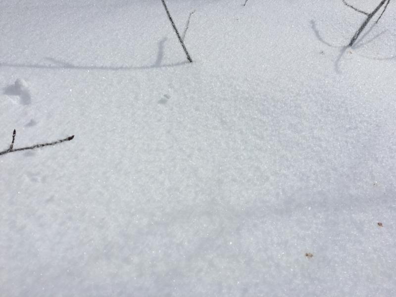
current conditions The Tony Grove Snotel at 8400' reports 15 degrees this morning and there's about 7" of new snow. There's 50" of total snow at the site, now containing 115% of average water content for the date. It's a chilly 4 degrees at the CSI Logan Peak weather station at 9700'. The strong southeast winds from yesterday calmed overnight, with average wind speeds in the single digits for several hours. The wind veered from the northwest early this morning and is intensifying, currently averaging around 25 mph, with gusts to 35 mph.
Feathery surface hoar or frost crystals on the snow surface yesterday in the Franklin Basin Area are now buried under a bit of new snow from overnight... These glittery crystals may be the failing layer for this weekend's storm snow avalanches on some slopes, or they could become a tricky buried persistent weak layer for triggered avalanches next week. (12-23-16) |
 |
recent activity A natural avalanche cycle occurred across the zone last Friday during the storm and included sizable activity on south and east facing slopes. No significant avalanches were reported locally since then. |
| type | aspect/elevation | characteristics |
|---|

|
|
LIKELIHOOD
 LIKELY
UNLIKELY
SIZE
 LARGE
SMALL
TREND
 INCREASING DANGER
SAME
DECREASING DANGER
|
|
description
The danger of storm slab avalanches will continue to rise during the day as new snow stacks up on weak surface snow. |
| type | aspect/elevation | characteristics |
|---|

|
|
LIKELIHOOD
 LIKELY
UNLIKELY
SIZE
LARGE
SMALL
TREND
INCREASING DANGER
SAME
DECREASING DANGER
|
|
description
Drifting from sustained and rather uncommon east-southeast winds Friday night and yesterday formed sensitive wind slabs in unexpected places. Yesterday's drifts are now hidden, buried by several inches of new snow. The danger of wind slab avalanches will continue to rise with drifting from intensifying and gusty west-northwest winds.
|
| type | aspect/elevation | characteristics |
|---|

|
|
LIKELIHOOD
LIKELY
UNLIKELY
SIZE
 LARGE
SMALL
TREND
INCREASING DANGER
SAME
DECREASING DANGER
|
description
|
 |
weather The National Weather Service has continued a Winter Storm Warning for most of Utah and southern Idaho through tomorrow morning. Expect blizzard conditions in the mountains today with dropping temperatures, heavy snowfall, and intensifying west-northwest winds. Temperatures should drop to around 10 degrees, winds could gust into the 50 mph range, and 4 to 8 additional inches of snow forecast by this evening. Snowfall should taper off overnight, and northwest winds will gradually diminish. |
| general announcements The early season is a great time to practice companion rescue techniques with your partners. Companion Rescue Practice Video Check out Avalanche Canada's "Rescue at Cherry Bowl" story HERE Between now and Jan 15th: Donate to the Utah Avalanche Center by shopping at Whole Foods Market Utah! When you visit any Utah Whole Foods Market locations, bring your re-usable bags, Whole Foods will donate a dime per bag to the Utah Avalanche Center - if you say DONATE my bag credit. We will update this advisory regularly on Monday, Wednesday, Friday, and Saturday mornings by about 7:30... Remember your information can save lives. If you see anything we should know please help us out by submitting snow and avalanche observations. You can also call us at 801-524-5304, email by clicking HERE, or include @utavy in your Instagram. In the Logan Area you can get ahold of me at 435-757-7578 This advisory is from the U.S.D.A. Forest Service, which is solely responsible for its content. This advisory describes general avalanche conditions and local variations always exist. |