There is an interesting layer of faceted snow that formed in snow from one of the recent storms about a week ago. It's mainly in a layer of graupel that is resting on top of the thick ice crust from March 22nd. This faceting likely occurred early this week on Monday night when air temperatures dropped to near 0 degrees F. Skies were clear and the snow surface temperature was probably well below 0 F.
Complicating matters - This layer of facets is not everywhere. Also, it is under a crust at the snow surface.
It may all be irrelevant because this weekend's storm should bring rain to 10,000 feet. Classic spring weather and rapidly changing conditions.
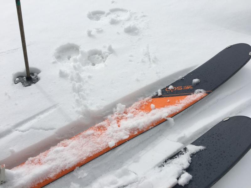
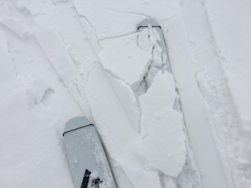
Two photos below of snow surface conditions. First shows the 1/2 inch of snow on top. Decent riding could be found where this little bit of snow made for smooth skiing. The second photo shows a crust just under this snow. These photos were taken at about 9500 feet. Below 9000 feet the snow surface got damp today.
The third photo shows Mark looking at the snowpack, with the obvious layer of graupel snow that is also faceted.