Check out our Holiday Auction - Sign Up for the Utah Snow and Avalanche Workshop (USAW)

Observation: Park City Ridgeline

Observation Date
12/28/2017
Observer Name
Greg Gagne
Region
Salt Lake » Park City Ridgeline
Location Name or Route
Ridgline from Squaretop to Murdock Peak
Weather
Sky
Clear
Wind Direction
West
Wind Speed
Light
Weather Comments
Light winds out of the west. No fresh wind drifts noted.
Snow Characteristics
Snow Surface Conditions
Faceted Loose
Wind Crust
Damp
Snow Characteristics Comments

Above 9000' there is 45-75 cms (1.5 - 2.5') of coverage. Much thinner on due south. Surface snow is beginning to facet and weaken. Solar aspects are crusted.

Red Flags
Red Flags
Recent Avalanches
Collapsing
Poor Snowpack Structure
Red Flags Comments
Several collapses today.
Avalanche Problem #1
Problem
Persistent Weak Layer
Comments

(Thanks to the professional snow safety crew at Park City Mountain Resort for helping arrange my travel today!)

Cruised along Park City ridgeline from Squaretop to Murdock Peak. Wanted to look at the remotely triggered slide reported from Wednesday. Classic persistent-slab weaknesses with remotely-triggered slides. Over the past three days I am definitely noticing the snowpack settling and gaining strength, but the persistent weaknesses remain, and will remain a problem for a while.

Biggest concern is on mid and upper elevation north through east aspects that hold the weakest snow.

Going forward, will become more difficult to trigger slides, but getting caught in any slide has serious consequences as these avalanches will be large with lots of rocks and trees to contend with.
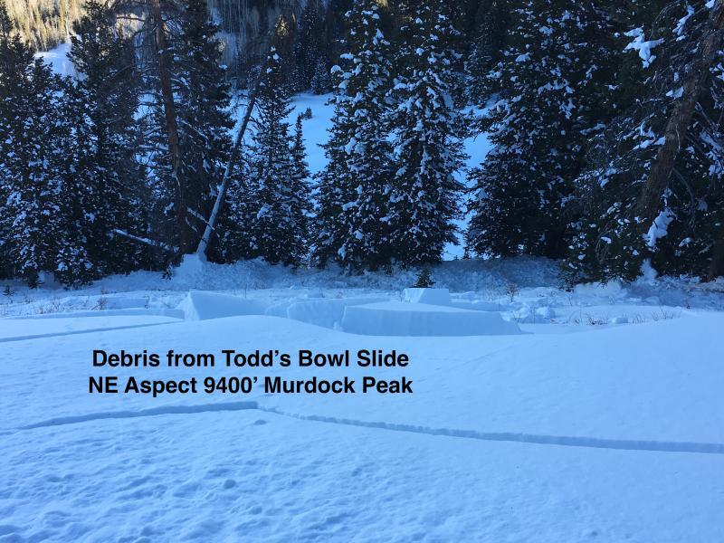
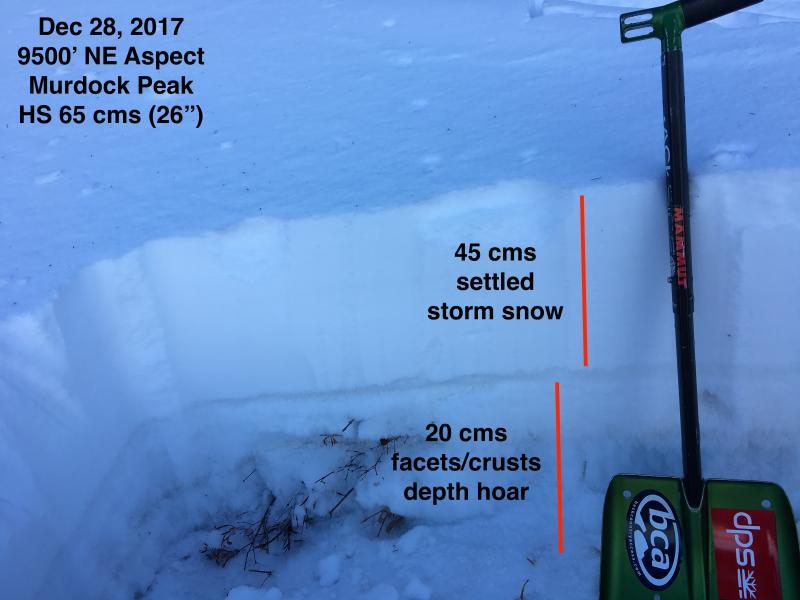
Video

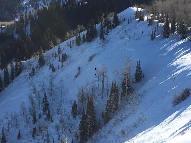
Noticed a similar slide on Pointy Peak/Sound of Music. This was also on a northeast aspect at about 9200' Ran on facets down near the ground.
Today's Observed Danger Rating
Considerable
Tomorrows Estimated Danger Rating
Considerable