Observation Date
1/21/2017
Observer Name
Brackelsberg
Region
Salt Lake » Mill Creek Canyon » Yellow Jacket
Location Name or Route
Mill Creek
Weather
Sky
Obscured
Precipitation
Heavy Snowfall
Wind Direction
Northwest
Wind Speed
Strong
Weather Comments
Strong winds transporting a significant amount of new light, density snow.
Heavy snow fell throughout the day.
Snow Characteristics
New Snow Depth
18"
Snow Surface Conditions
Powder
Red Flags
Red Flags
Recent Avalanches
Heavy Snowfall
Wind Loading
Cracking
Red Flags Comments
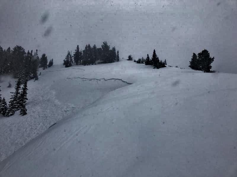
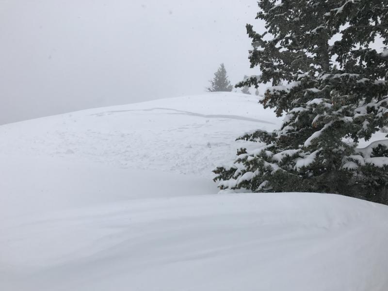
Numerous red flags today. Upper Yellow Jacket had numerous natural sluff (see photos).
There was significant cracking under the skies while breaking trail. These cracks did not propogate.
Avalanche Problem #1
Problem
New Snow
Trend
Increasing Danger
Problem #1 Comments
Exposed ridgelines had wind slabs formed from the strong NW winds.
The new snow sluffed easily and the sluffs ran fast and long.
I would expect continued natural activity through the night and into Sunday as more snow loads an already sensitive snow pack.
Avalanche Problem #2
Problem
Wind Drifted Snow
Trend
Increasing Danger
Problem #2 Comments
With continued strong winds, I would expect the ridge lines and exposed upper elevations to have significant wind slabs on Sunday.
Comments
Significant natural sluffs were observed. Ski cuts easily sluffed the new snow which ran long and fast on any slope steep enough to move on in the deep snow.
Today's Observed Danger Rating
High
Tomorrows Estimated Danger Rating
High


