Observation: Whitney Basin

Observation Date
1/3/2017
Observer Name
Ted Scroggin
Region
Uintas » Bear River Ranger District » Whitney Basin
Location Name or Route
Upper Whitney Basin
Weather
Sky
Obscured
Precipitation
Light Snowfall
Wind Direction
Southwest
Wind Speed
Moderate
Weather Comments
Some breaks in the clouds at the trailhead this morning, but gain some elevation and it was windy, light snow and low visibility.
Snow Characteristics
New Snow Depth
14"
New Snow Density
Low
Snow Surface Conditions
Powder
Wind Crust
Snow Characteristics Comments
Nice storm on the north slope, about 10" at the trailhead with upwards of 14 to 16" in Whitney Basin. Great riding and turning in wind sheltered areas.
Red Flags
Red Flags
Wind Loading
Cracking
Red Flags Comments
Gusty winds along the ridge lines and lots of wind transported snow throughout the afternoon onto north and east facing slopes. Easy cracking within the new snow where the winds have created some wind slabs, no collapsing noted.
Avalanche Problem #1
Problem
Wind Drifted Snow
Trend
Increasing Danger
Problem #1 Comments
Quite sensitive wind slabs in the higher windy terrain up to a foot deep. Shooting cracks out ahead of sleds and skis were a great indicator of sensitive wind slabs sitting on weaker snow underneath.
Avalanche Problem #2
Problem
New Snow
Trend
Increasing Danger
Problem #2 Comments
There were some easy somewhat clean shears within the new snow, but I did not get any cracks to propagate across a column in snow pits and this was in wind sheltered terrain. The new light density snow was not quite enough of a load on some of the buried weak layers. Steep windy areas might be on the edge of more unstable snow.
Comments
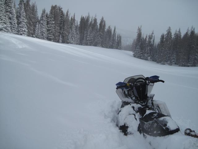
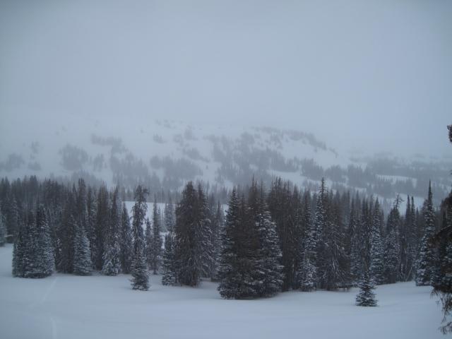
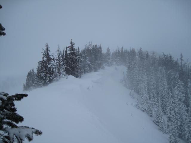
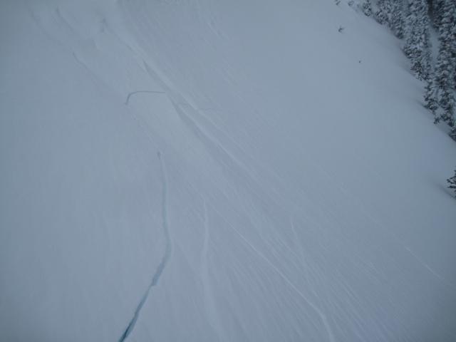
1. There was great powder riding out of the wind and about 12 to 16" of new light desity snow made for some easy and safe riding down in the trees. 2. The visibility was not great today, but stay in the trees and it helped with a little contrast of flat light. 3. Up on the ridge lines, it was a different story with cold and quite gusty south and southwest winds.
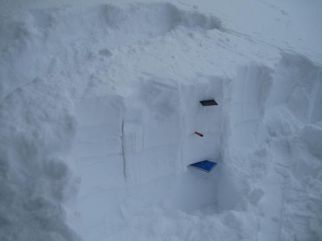
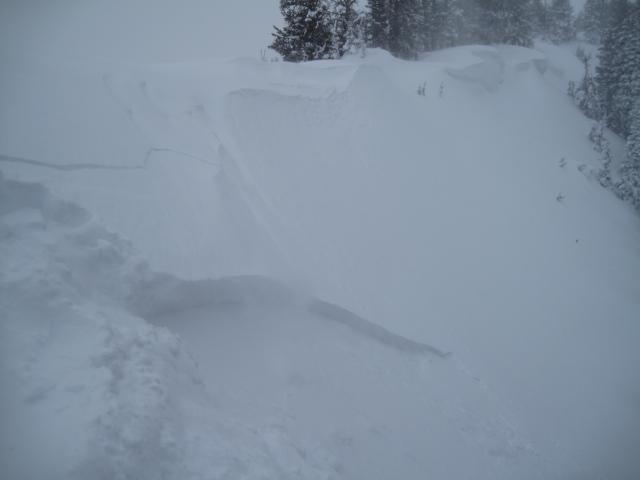
There were many different density layers with this recent storm, I stomped down, uphill of this snow pit and got a few different layers to shear.
In the wind zone today, shallow, but sensitive wind slabs were breaking out ahead of skis and sleds.
Today's Observed Danger Rating
Considerable
Tomorrows Estimated Danger Rating
Considerable