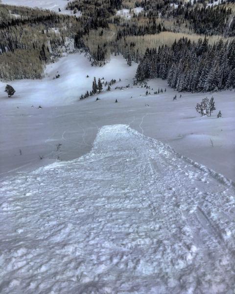
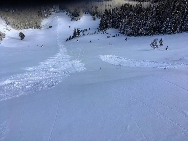
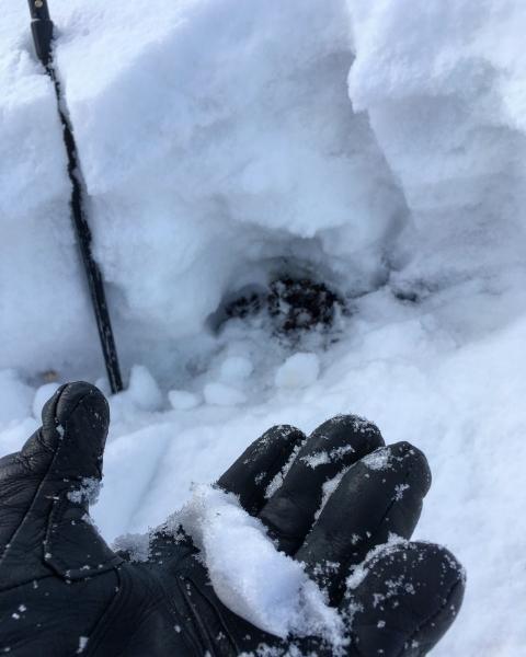
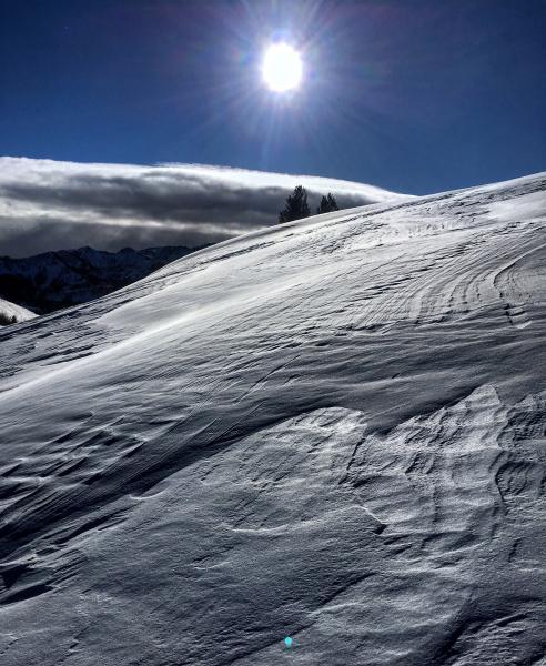
Wanted to see if the thin snow pack in the starting zone of No Name Bowl was starting to facet out after a couple cold nights, the bowl had avalanched wall to wall during the big storm last Sunday, Monday, and was only holding about a foot in the starting zone with a deeper snow pack mid slope. Surprisingly only the top three or four inches were weakening, I dug down to the dirt and found damp compactible snow at the bottom, with denser settled snow over that. Long running sluffs in steeper wind protected terrain was common place but they did not pack much of a punch. Tried to crack out some wind drifts on the upper ridge line on Scotts Peak but they were quite stubborn and non reactive. Hopping we get another dose of snow this week to insulate the snow pack from early season faceting.
Photos: long running sluffs in steeper terrain, damp and compactible snow at the base of the pack in the starting zone, wind damage on the upper ridge lines.