Observation: Rodeo Ridge

Observation Date
3/16/2016
Observer Name
Doug Wewer
Region
Ogden » Ben Lomond » Rodeo Ridge
Location Name or Route
Rodeo Ridge
Weather
Sky
Broken
Wind Direction
West
Wind Speed
Moderate
Weather Comments
Strong wind loading on upper ridgeline and some subridges. Winds seemed to pick up around 2pm mid-mountain.
Snow Characteristics
New Snow Depth
6"
New Snow Density
High
Snow Surface Conditions
Powder
Snow Characteristics Comments

Average new snow depth seemed to range from 4-6" at lower elevations to 6-8" at upper elevations. Most of our uphill route was on subridges, and the wind appeared to have moved some of the new snow off of these areas. Some wind loaded areas were easily 1-2 feet in depth.

Lower Elevations: Below about 7,000' on S and SE aspects, the snow was damp on our uptrack and had a suncrust on our decent around 3pm. The sun damage happened quickly with just a short period of strong sun breaking through the clouds before noon. Below the new snow, the snowpack is still warm and wet with a couple-inch crust forming below the new snow interface. Today's cold temps kept the snow surface dry on most northerly aspects, even down to 6,000'.

Upper Elevations: Above about 8,000', the underlying snowpack was colder and drier. The crust/facet sandwich was easy to find in many areas (see snowpit below). The cloud cover and cold temps kept the snow surface dry on all aspects at upper elevations. No surface crusts observed.

Red Flags
Red Flags
Recent Avalanches
Wind Loading
Cracking
Red Flags Comments
The cloudy skies and cool temps kept wet activity from occuring today, but I would expect that to change in the next couple of days. No sluffing observed, although we kept the slope angles relatively low.
Avalanche Problem #1
Problem
Wind Drifted Snow
Trend
Same
Problem #1 Comments

The biggest concern today was fresh wind slabs. We found slabs up to a foot deep, primarily on obviously loaded slopes on the upper ridgeline. Loading was also occuring at mid-elevations on subridges and gully walls, but we did not find anything that was reactive. I ski cut and jumped on quite a few pillows and wind loaded areas on steep, mid-elevation slopes, but most of them didn't crack at all. The new snow appears to have bonded well to the old snow surface. Overall, we found very good stability, but we also avoided steep slopes that were more difficult to manage if we kicked off a slide.

Snow Profile
Aspect
Northeast
Elevation
8,300'
Slope Angle
30°
Comments

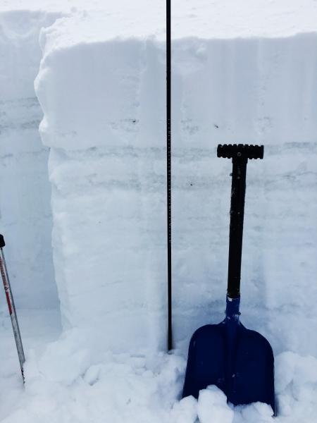
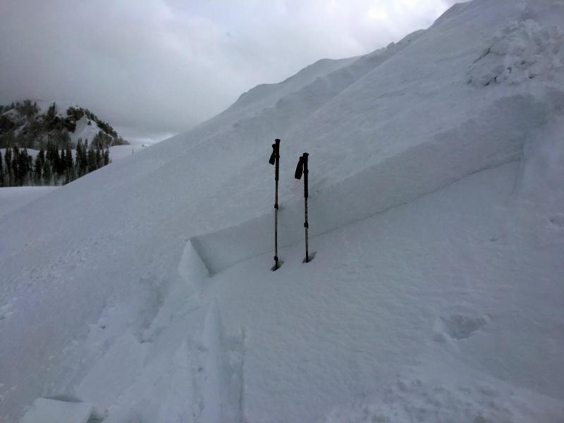
Photos of snowpit wall and slope where pit was dug.

There is a facet/crust sandwich near the old snow surface (noted on other observations throughout the range) that is worth keeping an eye on. The crusts were fairly weak and the layers lacked energy, but it could be a concern with additional loading or on a slope with significant new snow wind loading.

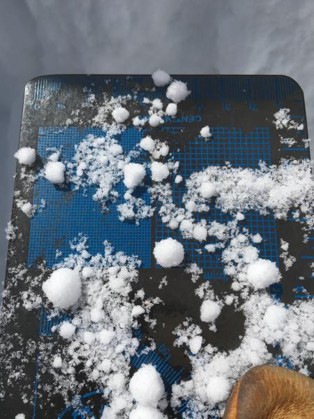
Large 10 mm graupel found within the storm snow (fell during 3/14 thunderstorms).

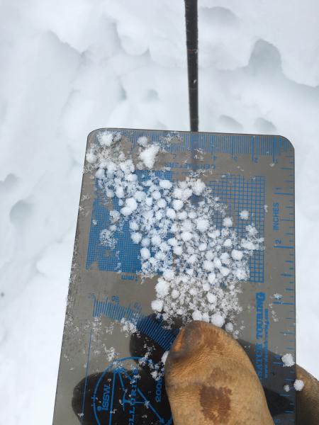
Smaller 4-6 mm graupel deeper in the snowpack produced one Q2 shear and full ECT propagation with 30 taps.

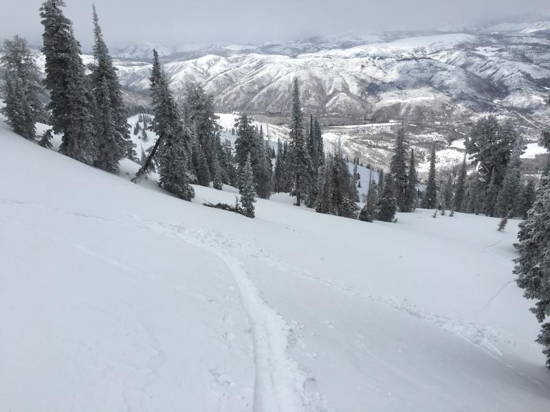
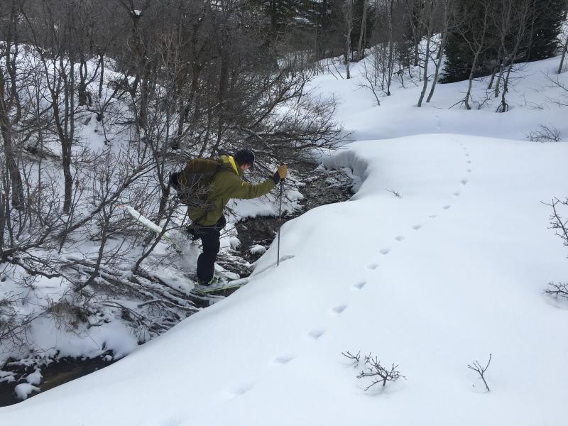
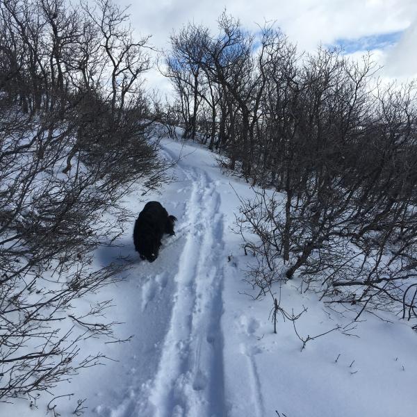
First two photos: The approach is getting thin from North Fork Park. After this weeks warm up, it may be necessary to walk some portions. The summer trail has two stream crossings already.

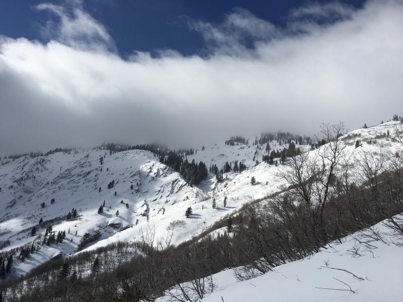
Third Photo: Broken skies allowed brief sun to dampen S and SE aspects at lower elevations, quickly forming a suncrust when the clouds returned. Cloud cover and cold temps kept upper elevation snow cold and dry.

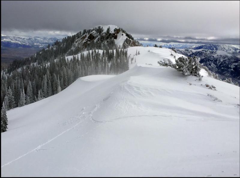
Photos: Easily triggered, fresh wind slab found on ridgeline at 8400', up to 12" deep.

Video: Wind loading in bowl just East of 7800' peak on Rodeo Ridge. Despite deep, fresh wind loading, we couldn't get anything to crack or move at mid-elevations.

Video

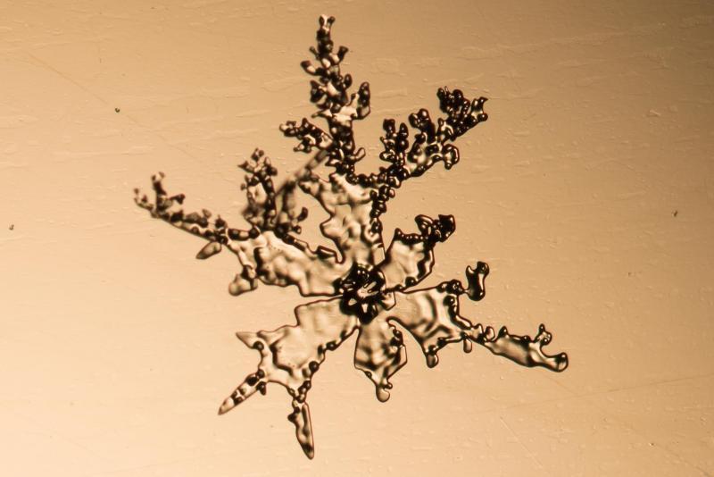
This capped column and decomposing stellar snowflake were found on the snow surface after last night's snow showers.

Today's Observed Danger Rating
Considerable
Tomorrows Estimated Danger Rating
Moderate
Coordinates