
Nice view across to the larger peaks in Broads and Mill B South. You can see lots of slab activity during the storm 5 days ago. See the zoomed-in photo below in Broad's Fork
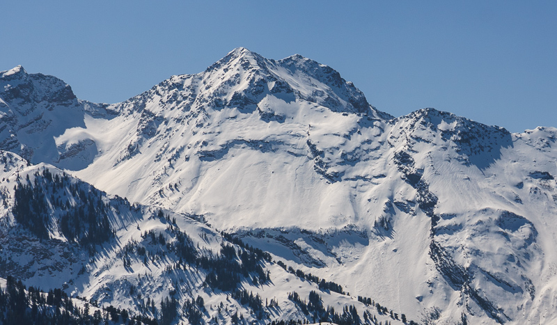
It's hard to tell from the low resolution photos allowed on our website, but when I zoom into the full rez photo I can see a number of slabs in the upper bowl of Broads, in the headwall and along the Mill B South ridgeline. Perhaps 40% of that terrain slid during the storm as natural avalanches.
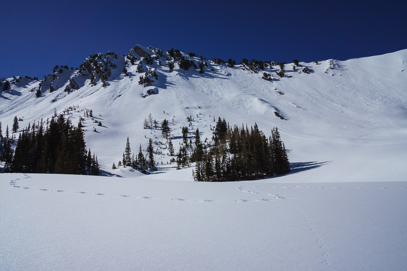 The east aspect of Raymond Peak. that drains into Mill A Basin This is like a quiz in an avalanche class. How many things can you see going on in the snow? First, there's the little drama in the foreground with the coyote track and mouse track. Then, in the background, you can see dry slabs and sluffs that came down during the storm 5 days ago. Over the top of them, you can see the more recent wet activity, probably from yesterday, and you can also see some ski tracks.

Another avalanche class quiz: The vertical channels are called "rill marks" or "drainage channels." They form within new snow after melt water has percolated through it to form drainage channels under the new snow. They are actually a sign of stability since they indicate that the plumbing has been established.
A nice specimen of a snow snail or pinwheel. These are gravity's snowmen and they roll down the slope as new snow rapidly gets damp or wet from strong warming.
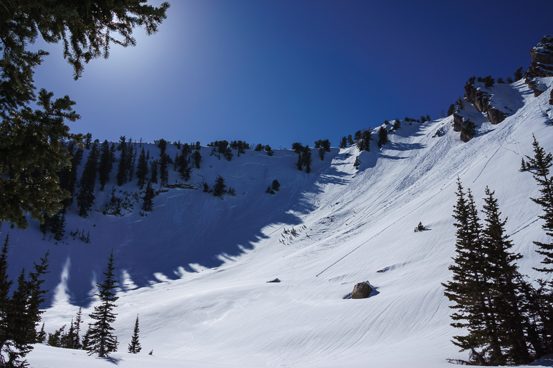
In the upper Mill A Basin headwall, you can see the east facing slope on the right is producing some wet sluffs while the north facing spur ridge on the left has a slab from the last storm, probably 5 days old. Dry snow on the shady slopes and wet snow on the sunny slope.
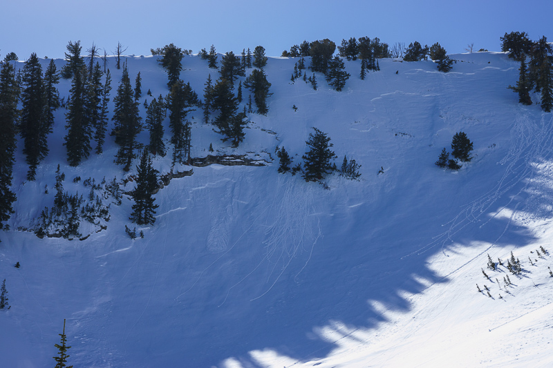
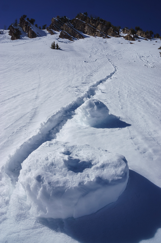
Zoomed into the avalanche, which is 1 to1.5 feet deep and perhaps a total of 200 feet wide. I did a fracture line profile on the looker's left flank. It slid on near-surface faceted snow that was on the surface before the storm on Tuesday. My test showed that things have settled down quite a bit as it took quite a bit of force to get the compression tests to fail and the extended column tests did not propagate. Translation: that's a good thing.


