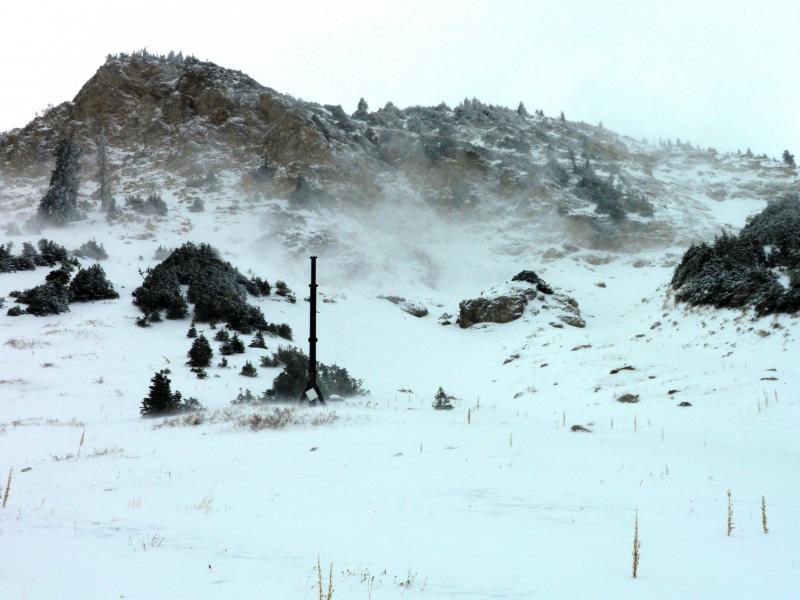
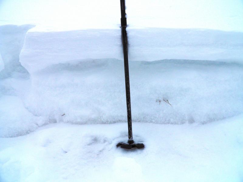
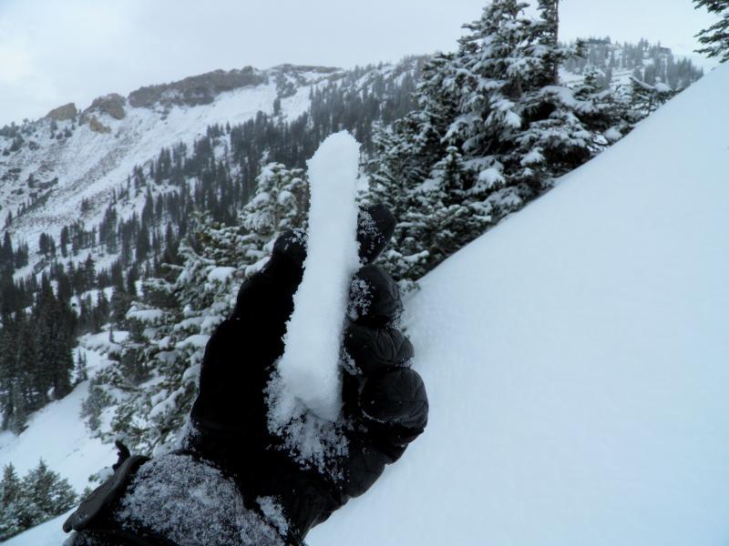
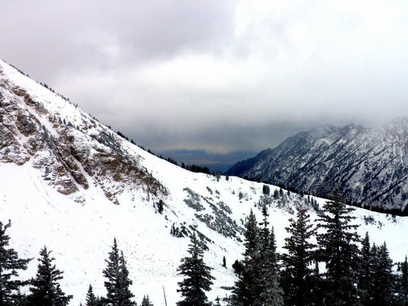
Went for a walk up at Alta today to have a look at the snow and get some exercise. Decided to head over to Baldy and have a look at the snow at 10,200ft NE facing. Quick hand pit revealed 10 to 15 inches total snow pack varying quite a bit due to the wind drifting snow in some places and scouring it in others. The layering of the snow consisted of 4 inches of medium density wind affected snow sitting on about 10 inches of well developed faceted snow and a couple inches of melt freeze crust on the dirt. Snow was fairly inverted, dense on top and loose down below, the facets made for some extremely slippery skinning on steeper terrain. I was also finding a crust at the interface between the old faceted snow and the new snow not sure if the crust was wind or heat related but my guess would be wind. Did not get any clean shears but there was not much of a slab sitting on the facets more wind and new snow could change those results in the near future. Photos wind blasting Baldy, snow pit in which you can actually see the well developed facets in the bottom 8 to 10 inches, crust at the interface of the old and new snow, cloud deck dropping in the afternoon, video of our faceted base.


Hazard was low to none today, could increase tomorrow if we have continued winds loading and cross loading on slopes with old faceted snow underneath and forecasted increase in snow amounts. I would stick to low to none on slopes with no old faceted snow underlying it.


