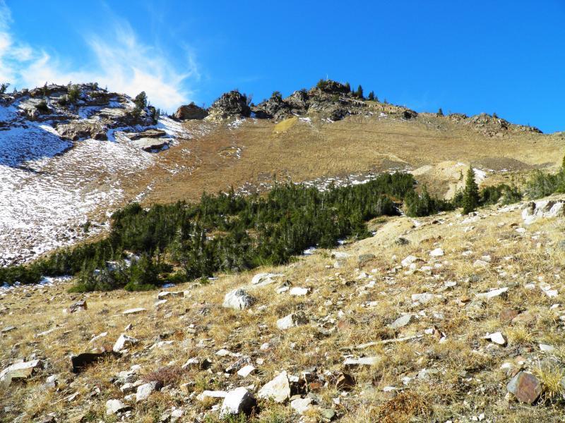
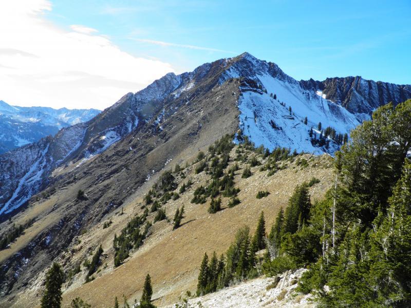
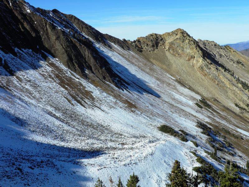
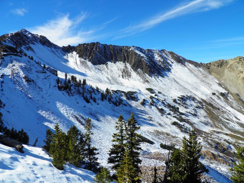
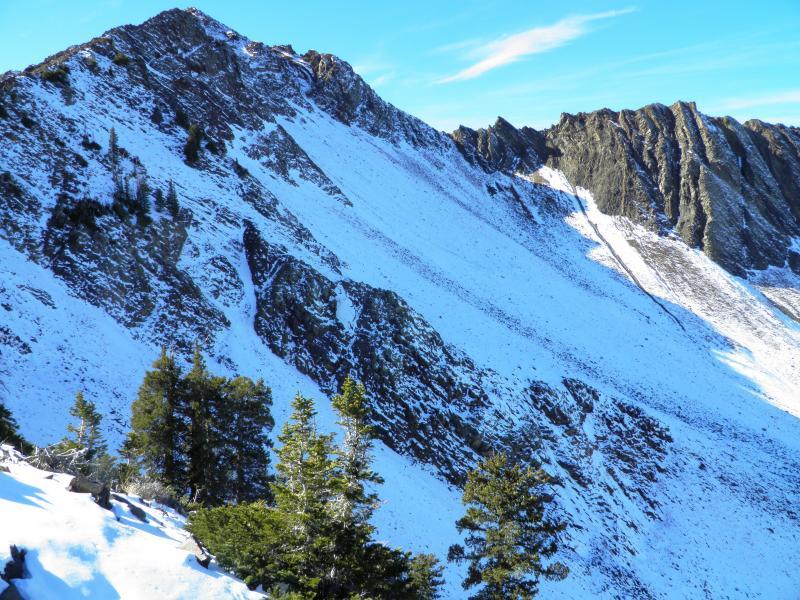
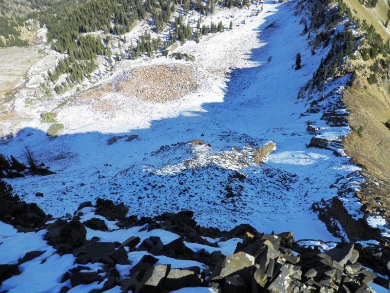
Wanted to get a handle on what was happening to the snow on the high shady north facing terrain in Cardiff. Found pretty much what I expected, north facing Cardiff Peak, LSB and Cardiac Bowl were all holding about 8 inches of rotten faceted snow in the starting zones, and on most of the main slopes, every other aspect and elevation was bare ground or a melt freeze crust. Seems like a good idea to no what the next storms snow is going to be sitting on. Seems like the slopes with the weak layer are very easy to distinguish, High shady norths above 9,8000ft that received 8 to 10 inches in the last storm, mainly in upper BCC and LCC, the high norths on the PC Ridgeline did not receive enough snow to create a connected weak layer. Photos of the area for a idea on coverage. Cardiac Bowl, LSB, and the high north facing across the street. video is faceted snow resting in the top LSB.
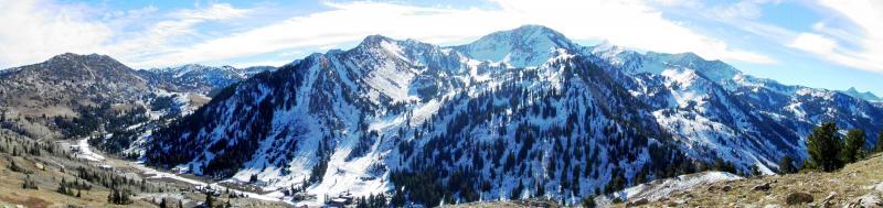
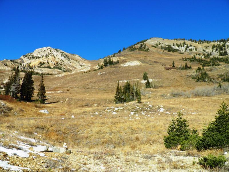
Cardiac Ridge is pretty bare and what snow there is basically is a melt freeze crust. South facing is dirt. Photos Cardiff Bowl, Flagstaff and Toledo, Superior, Cardiac Ridge