Observation Date
12/4/2013
Observer Name
Cam Mackenzie
Region
Salt Lake » Little Cottonwood Canyon » Grizzly Gulch » Patsy Marly
Location Name or Route
Patsy Marley
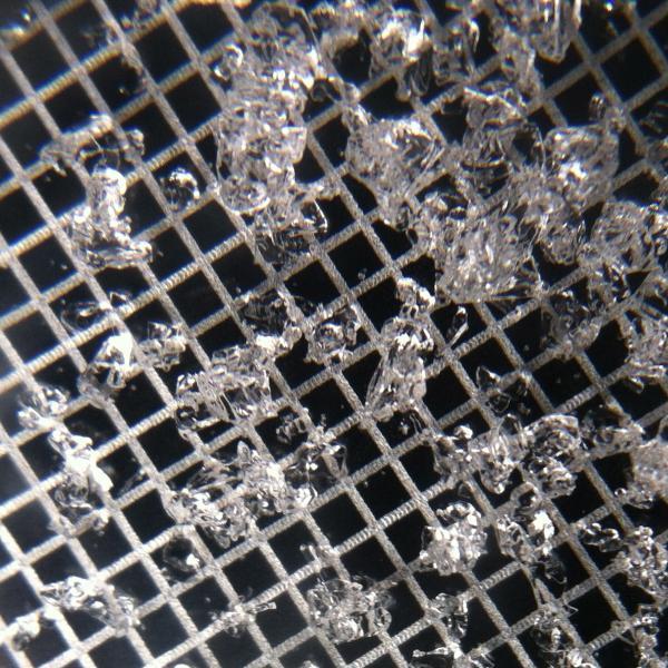
Comments
Facets from the 19-38cm layer
Today's Observed Danger Rating
Moderate
Tomorrows Estimated Danger Rating
Moderate
Coordinates