Observation: Aspen Grove

Observation Date
1/5/2026
Observer Name
Erik Fullmer
Region
Provo » Provo Canyon » North Fork Provo R. » Aspen Grove
Location Name or Route
Aspen Grove
Weather
Weather Comments
The tour began at 1:00 PM and it was humid at the trailhead (6800'). The temperature was just above freezing to begin and wet surfaces began to refreeze at exit at 3:15 PM. Winds were mostly calm in my travel, but upper ridgelines showed active SW wind transport. There were some sporadic flurries but no accumulation. Clouds were broken to overcast.
Snow Characteristics
New Snow Depth
12"
New Snow Density
High
Snow Surface Conditions
Powder
Damp
Snow Characteristics Comments

Graupel. New snow ranged from a very wet 4" at 6800' to 14" at 7900'. The rain line for the storm seemed to hover between 7400-8000', and lowered to the trailhead by the end of the storm. The snow was melting off trees until about 7400' but that lowered to the TH by the end of the tour at 3:15 PM.

While the snowpack is thin, the VERY dense new snow graupel layer keeps you on the surface and is surfy. This covers more obstacles on the ground than expected. All we need is some "old school" Utah storms and this will be a great base layer once settled.

Red Flags
Red Flags
Recent Avalanches
Heavy Snowfall
Poor Snowpack Structure
Red Flags Comments
The Timpanogos Divide's snotel is reporting 3.8" of water and 18" of snow with this storm. That's very dense snow. The recent avalanches were dry loose graupel coming over steep cliff bands in Primrose Cirque around 3:00 PM. As expected with a thick layer of new graupel in steep terrain. There were lots of debris around the cirque from previous dry loose avalanches. Today was another lesson in the interesting spatial variability we've been clueing in on. I found a weak and thinner crust at 7300' that was about 1" thick, easy to break, and under this crust I had two ECTP12 results (see video below). Then at 7900', the rain crust is 4" thick and strong, I had an ECTN18 within the new snow (failure was at the interface where the graupel/rain mix transitioned to drier graupel). We have very little data about the rain crust in the Provo region south of American Fork Canyon. But what I did find is that within less than half a mile we had evidence of a weak layer propagating with enough stress and then no results on that layer where the crust was thicker at 7900' on a NE aspect. I spoke with a local who traveled up to the aprons of UFO Bowls and they experienced no red flags (no collapses) other than the graupel debris from dry loose (probably during peak PI). They traveled up via Lame Horse and that is a lot of terrain to cover in the lower abd mid elevations without a collapse from this new load. Their route is near the above cited snotel. This supports that the rain crust is probably thick and strong in that area and elevations.
Comments

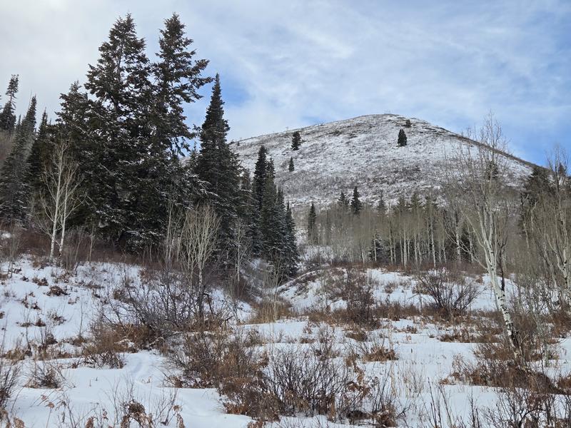
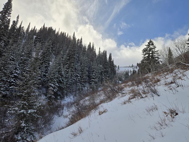
The tour was to see if we can finally ski the Bob's area via Aspen Grove. One can, but do you treasure the lower half of your legs? If you can avoid obstacles, where there was snow, I didn't hit anything.

At the TH: there were 4" of new snow, with the last 1" being nice and "normal"...the rest was graupel. Beneath this was a 1" deteriorating and saturated crust.

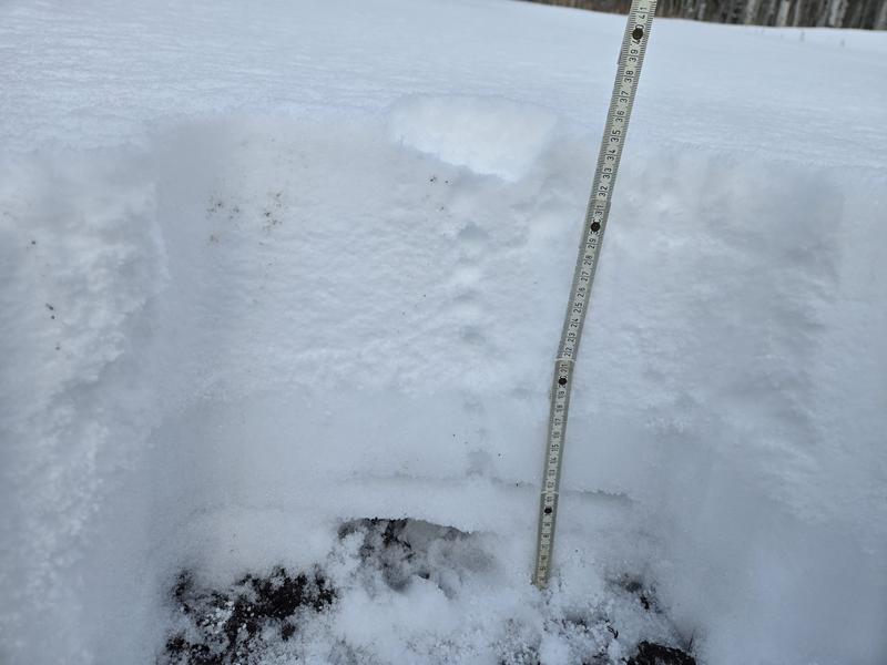
At 7300': there was snow was 14" deep with 10" of new snow. The first 3" of the storm graupel very saturated and the remaining 5" was very dense. This graupel had a hardness of 1F. This was capped by 2" of lighter snow. Beneath an 1" weak crust were about 3" of saturated facets that were F hand hardness.

I had two ECTs with the result ECTP12, collapsing underneath the rain crust. See linked video below.

At 7900' on a NE aspect: the snow was 25" deep. New snow was 14", with about 11" of graupel (with the bottom 4" again being very saturated (probably rain mix)). The last few inches were lighter density and not as mixed with graupel. Again, the graupel had a 1F hardness. The bottom 11" had a ~5" crust and ~6" of early season facets on the ground. The weak snow on the bottom appeared to be bonding and was very damp.

Takeaway: With the right terrain feature, the right elevation and aspect, there is potentially a weakened crust with facets (damp or not) underneath. The snowpack wasn't speaking to us today, but that doesn't mean I'm not spooked. I don't like unknowns like this. Where is the weak crust and where is it strong, what is underneath the crust?
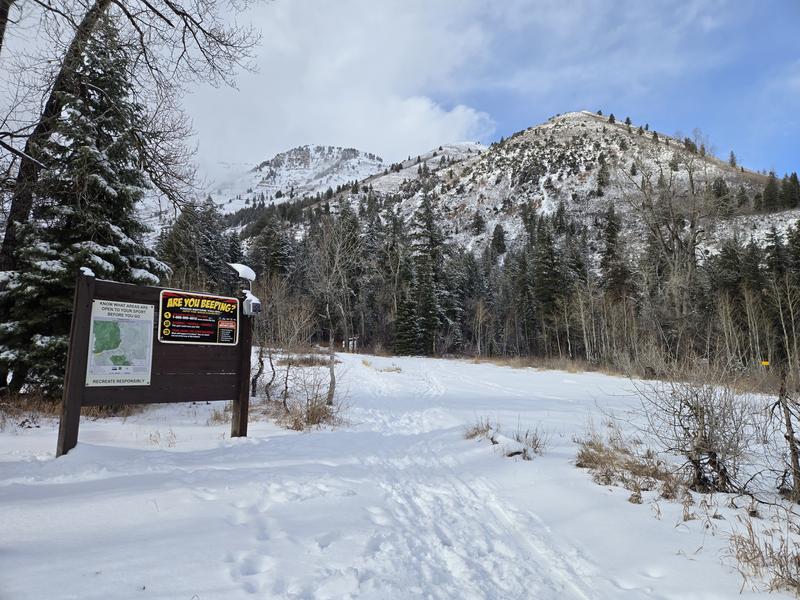
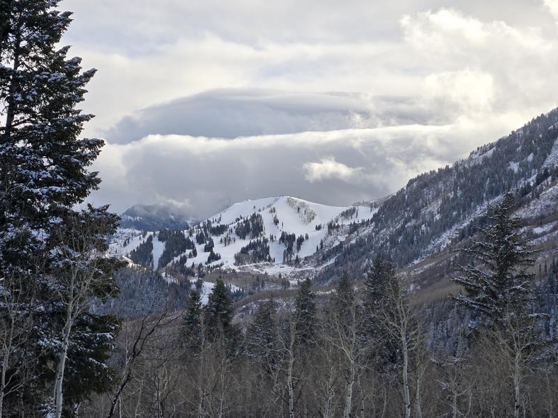
Trailhead:

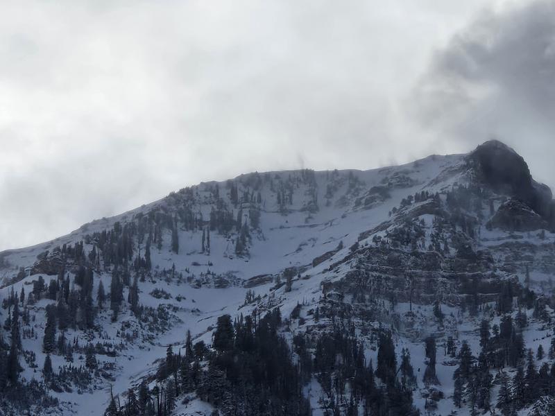
Primrose Cirque, you can see dry loose graupel coming off East Peak:

Bob and Sue in all their glory:
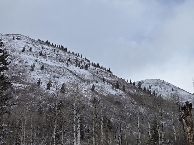
7300':

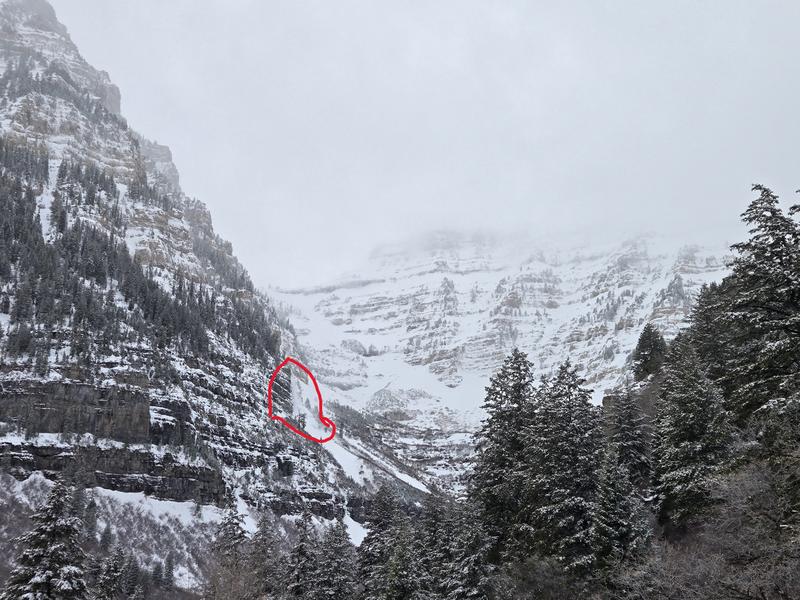
Price of admission for Bob's/Primrose Overlook, etc.:

7900'.:

Active SW wind transport off East Peak:

Has Sundance opened the back mountain yet?

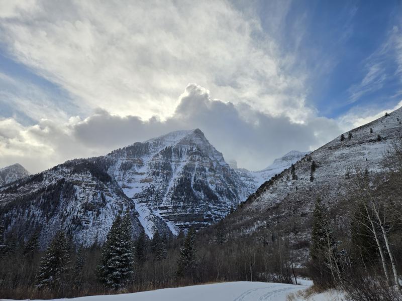
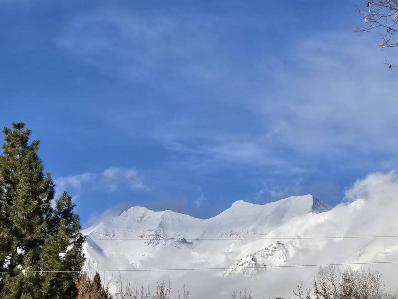
Timp's refresh at the upper elevations looks great:

Video
Today's Observed Danger Rating
Moderate
Tomorrows Estimated Danger Rating
Moderate
Coordinates