Observation: Wolf Creek Pass

Observation Date
1/2/2026
Observer Name
Brackelsberg / Morrison / Hartnett
Region
Uintas » Wolf Creek Pass
Location Name or Route
Wolf Creek Pass
Weather
Sky
Obscured
Precipitation
Light Snowfall
Wind Direction
Northwest
Wind Speed
Moderate
Weather Comments
There was about 3" of high-density new snow overnight. Low fog all day, leading to near-zero visibility outside of the trees. It rimed all day long. Temperatures were between 27°F and 29°F.
Snow Characteristics
New Snow Depth
3"
New Snow Density
Medium
Snow Surface Conditions
Dense Loose
Damp
Snow Characteristics Comments

We did not observe signs of rain at elevations above 9,000', but the new snow was quite dense. The snow surface became dense as the day progressed. We could not determine if there was a little bit of greenhousing occurring or if the density increase was just due to the rime event occurring. The new snow had about 1 inch of lower-density snow on top of 1" of higher-density snow and below the higher-density snow.

All of our party noted how the surface snow density was increasing throughout the day.

We were in the same location on Dec 31. The slab has become more developed, and the weak layer below the Christmas Eve Rain Crust (CERC) has become weaker. On Dec 31, we had a CT8 on that layer, and today it was a CT5.

Our concern with the snow revolves around the facets under the CERC. The new snow surface was damp, if it gets cold, this could form a breakable crust making for difficult travel.

Red Flags
Red Flags
Poor Snowpack Structure
Red Flags Comments
Our stability tests indicated a decreasing stability of the snowpack. There was not enough new snow load to worry about new snow avalanches or overloading the developing weak layer. With the next storm coming in, this could be enough of a load to make the weak layer below the CERC active.
Comments

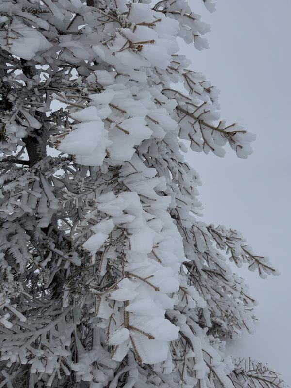
Photo 1 shows the significant rime formation during the day,

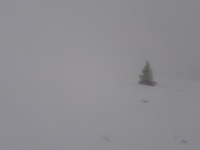
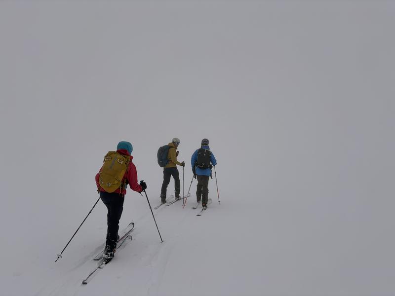
Photos 2 and 3 show the heavy fog and extremely poor visibility above treeline.

Today's Observed Danger Rating
Moderate
Tomorrows Estimated Danger Rating
Moderate
Coordinates