A walk up the White Pine drainage today showed improved but still thin coverage on all slopes. Red Baldy's NW face held the longest continuous path.
Overall the Christmas rain crust has held as a supportable feature in many areas above ~8000', making travel possible in an otherwise-thin snowpack.
The main concern will be weak, faceted snow that has developed on top of this crust as tomorrow's storm puts water weight on top. The Christmas crust is a smooth, continuous bed surface for the last 2 storms' snow to run on. A pit @ ~9300' on a NW slope showed 3 distinct crusts, with weak snow underneath each. The primary concern for activity will be snow on top of the 12/25 crust while the lower probability/higher consequence will be failure under any of these crusts.
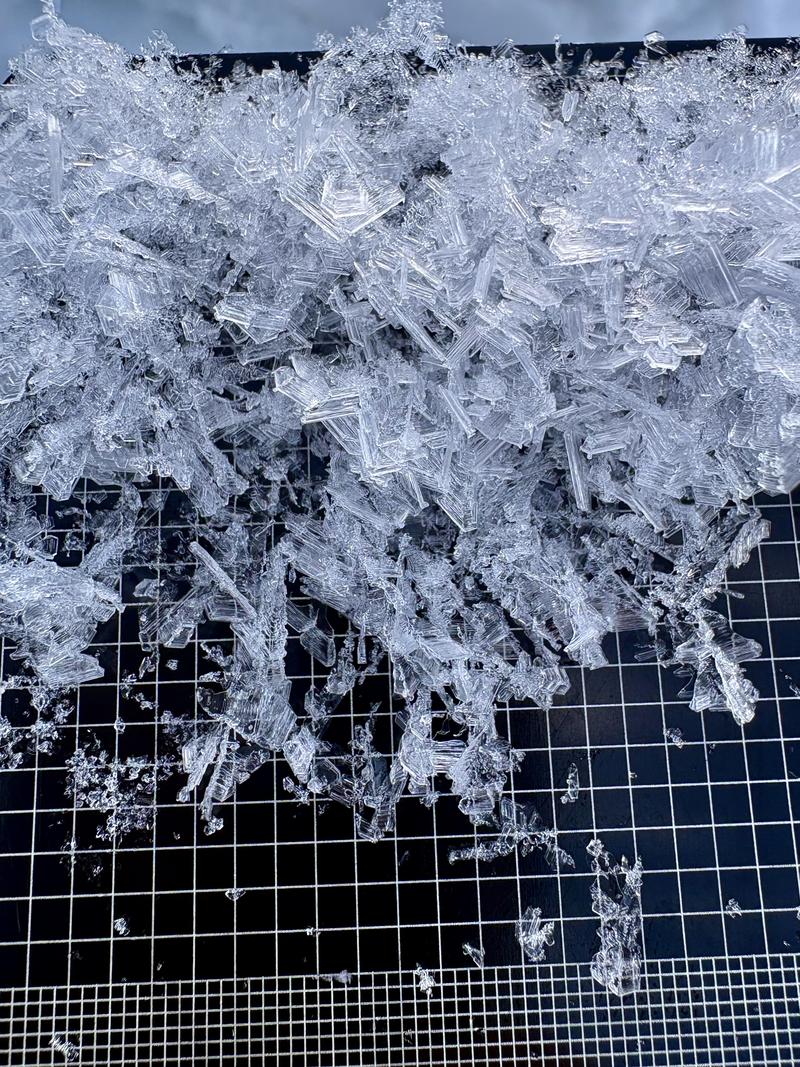
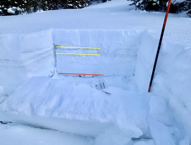
We had an ECTP15Q2 (moderately reactive results) @ 24cm, just under the November crust (red in Pic 2). This result is mildly concerning because of its depth and propagation potential if triggered. However, I feel the circumstances to trigger this layer are increasingly unlikely (a human triggering a specific thin area in this crust in an area that other terrain features had isolated an area of the crust allowing puzzle-piece-like failure). This can be seen in the relatively small propagation areas of the recent Sunset Peak slide and local resorts' explosives results.
Overall the Wasatch danger is low with isolated areas of moderate hazard for persistent weak layer slides. This will change as water weight stacks up this week.
Pit- NW facing, 9,324'
ECTP15@24cm, SSTM@26cm