Donate Now to Our Year End Campaign!

Observation: Steep Hollow

Observation Date
12/30/2025
Observer Name
Champion & Weed
Region
Logan » Franklin Basin » Steep Hollow
Location Name or Route
Steep Hollow
Weather
Sky
Clear
Wind Direction
West
Wind Speed
Calm
Weather Comments
Another generally perfect day. Bluebird skies, calm winds even along the ridgelines. Temperatures stayed mostly cool, but the sun warmed things up nicely.
Snow Characteristics
New Snow Depth
12"
New Snow Density
Medium
Snow Surface Conditions
Powder
Wind Crust
Melt-Freeze Crust
Damp
Snow Characteristics Comments

Overall, still great cold snow and riding conditions. Today, with the slight bump in temperatures, a few more aspects were beginning to feel the impact of the sun and warmer temps. Anything with a solar tilt was a bit damp throughout the day, transitioning from the cold, low density snow we had yesterday to a more medium, or even medium plus, density surface. On true south aspects, we found a small melt freeze crust, but it was pretty thin and limited. I'd guess a bit more widespread tomorrow morning.

Along the ridgelines there was some wind texture, and in a few spots, a wind skin about 1 to 5 inches thick that felt supportable underfoot, but overall it wasn’t widespread.

On the polar aspects, the snow is still cold and low density.

Crust and wind texture - SW aspects 9400-9500'

Avalanche Problem #1
Problem
Persistent Weak Layer
Trend
Decreasing Danger
Problem #1 Comments

The primary concern that still exists is within the snowpack structure. Overall, there have been very few signs of instability, and the likelihood of triggering continues to decrease, all the way down to unlikely in many areas, especially as the weak grains become damp, wet, or locked into a crust near the ground.

Even so, the structure is still there, which keeps some uncertainty in the system. The areas I’m most suspicious of are the highest elevation, rocky, steep, north facing terrain that may not have received rain and has instead picked up more wind loaded snow.

Comments

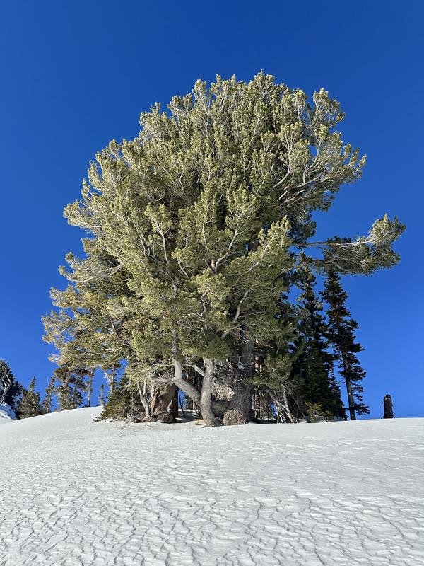
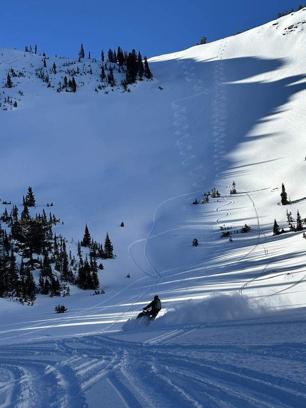
Today, we found great riding conditions and zero signs of instability. We stepped into bigger terrain while traveling and while riding, and the snowpack continued to feel generally LOW danger underfoot. Overall, the snowpack is showing signs of stability.

With the bottom of the snowpack now saturated, it may begin acting as our new base, or bed surface, moving forward. This could mean a stable snowpack for the time being, but it’s worth keeping an eye on what happens at the surface and at the new snow, old snow interface. With cold, clear nights, we could start to form fresh weak layers in that interface, or see the current snowpack weaken over the long term and become an issue later down the road.

For now, though, the snowpack is showing signs of stability, and we’re cautiously stepping out.

Today's Observed Danger Rating
Low
Tomorrows Estimated Danger Rating
Low
Coordinates