
Observation Date
12/27/2025
Observer Name
B
Region
Provo » Snake Creek
Location Name or Route
Snake Creek
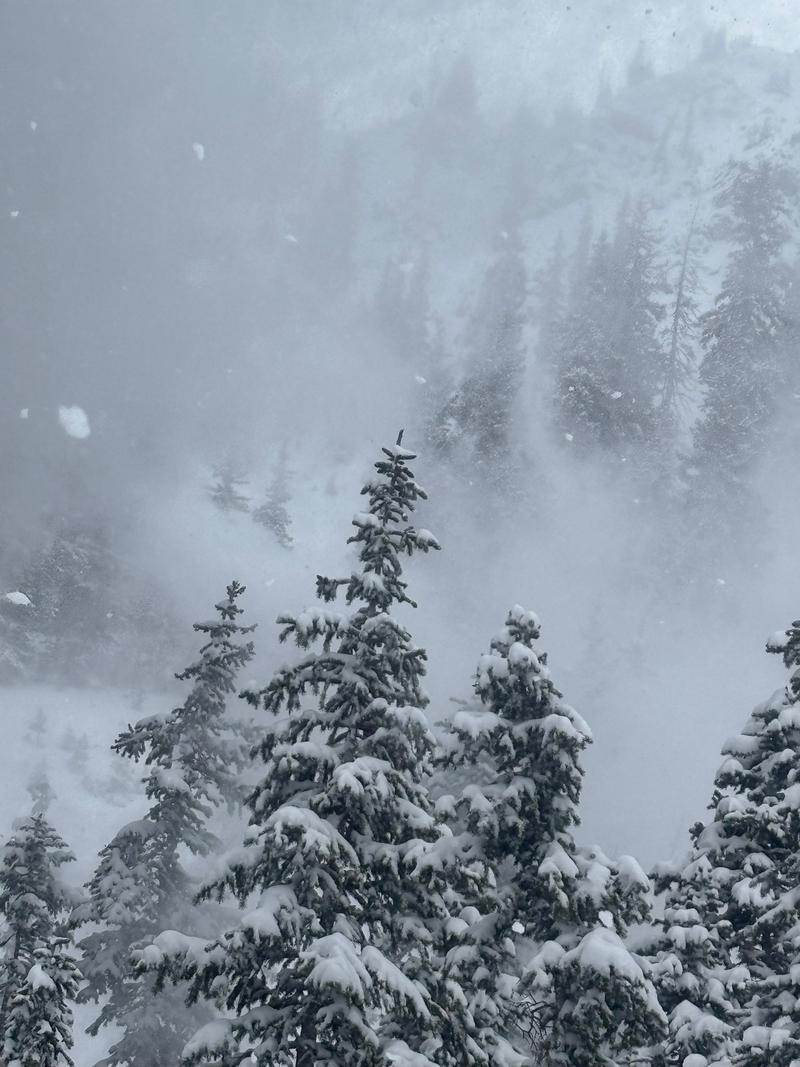
Comments
Unfortunately poor visibility and flat light limited the possibility to display the Loose Dry avalanches in the Pioneer Bowl area. Picture represents the gusty winds and Transport, and this was well down off the ridgelines in a somewhat protected north facing area at 9200'
Today's Observed Danger Rating
Moderate
Tomorrows Estimated Danger Rating
Moderate


