Donate Now to Our Year End Campaign!

Observation: Powder Mountain

Observation Date
12/26/2025
Observer Name
Maushund, Champion, Meisenheimer
Region
Ogden » Powder Mountain
Location Name or Route
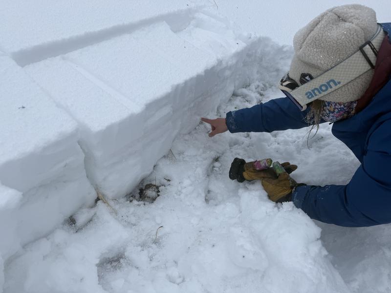
Powder Mountain Backcountry
Weather
Sky
Overcast
Precipitation
Moderate Snowfall
Wind Direction
Southwest
Wind Speed
Moderate
Weather Comments
A welcome cold, blustery, and snowy day up on Powder Mountain. Winds blew moderate, gusting strong out of the southwest with below freezing temps. Moderate (S2) snowfall throughout the late morning into the early afternoon, shifting to large (>5mm) graupel for the last hour of our tour as a thunder cell moved closer to us on the radar.
Snow Characteristics
New Snow Depth
5"
New Snow Density
Medium
Snow Surface Conditions
Powder
Dense Loose
Snow Characteristics Comments

We have new snowfall, on top of a complex of crusts, on top of wet, unconsolidated facets in mid- and upper-elevation terrain. New snowfall was 4 inches of powder when we arrived in the late morning, shifting to graupel by the early afternoon. The new snow fell on top of two variably supportable crusts: (1) a thinner, less stout, grippy, aeroated rain crust from this past week's showers, and below that (2) a thicker, stouter temperature crust from the "meltdown" warm temperatures we experienced prior to this week. Depending on the aspect—and if in wind-exposed or -protected areas—these crusts were either nearly indiscernible or had 2-5cm of wind-drifted mixed form snow between them.

Red Flags
Red Flags
Wind Loading
Cracking
Collapsing
Poor Snowpack Structure
Red Flags Comments
We experienced many (>10) localized collapses in upper elevation terrain with small radii (<5m) and 2 notable collapses across entire slopes (>15m). What's worrisome about these crusts is that they are variably supportable—meaning that you can ski along on top of them for long stretches, before dropping down into the weak, faceted snow below and receiving any feedback from the facets below. The grippy nature of the upper crust wind lend well for surface bonding of new, windblown snow, adding more density between you and feedback from the snowpack. This structure is concerning as we continue to build a slab tonight into tomorrow over top this weak structure. This is the type of setup that will allow you to ski well out onto a slope before receiving any warning signs about reactivity.
Avalanche Problem #1
Problem
Persistent Weak Layer
Problem #1 Comments

Nikki, Trent, and I all agreed that we haven't seen facets this wet, but simultaneously this unconsolidated and weak (especially in December). We dug multiple pits, on multiple aspects between NW-N- E, between 8800 and 9000' and kept getting propagation with easy to moderate force on the facets. (ECTP4 x2 & ECTP12) The slab depth and character changed, but the weak layer kept propagating consistently.

A strange setup for winter in the Wasatch no doubt, and the temperature patterns throughout and after this storm will largely predict where stability heads for the PWL in the future. For now, a facet, is a facet, is a facet to me. Rounding, wet, damp, what have you. The structure is still there, and while we haven't seen something quite like this before, we do know one thing for certain: to never trust a facet.

Comments

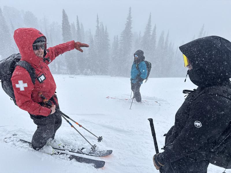
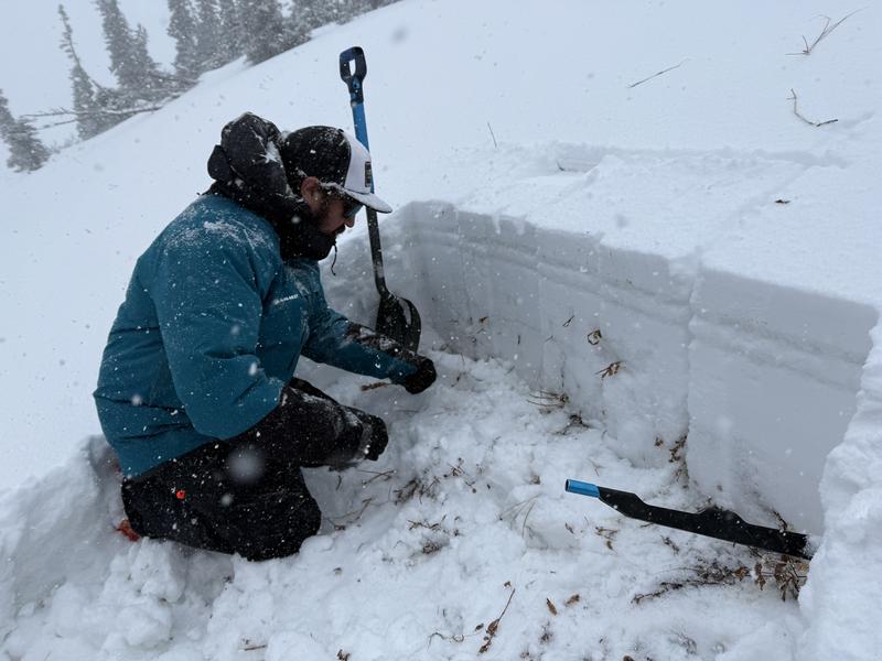
A huge thank you to Snow Safety Supervisor Seth Burns for spending the day looking at the snow with us, as well the other hard-working folks from Powder Mountain Patrol for having us on a visit.

Video
Today's Observed Danger Rating
Moderate
Tomorrows Estimated Danger Rating
Moderate
Coordinates