
Observation Date
12/25/2025
Observer Name
mark white
Region
Salt Lake » Park City Ridgeline » Monitors
Location Name or Route
PC Ridgeline
Comments
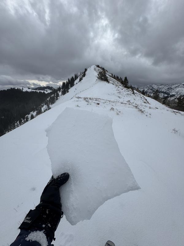
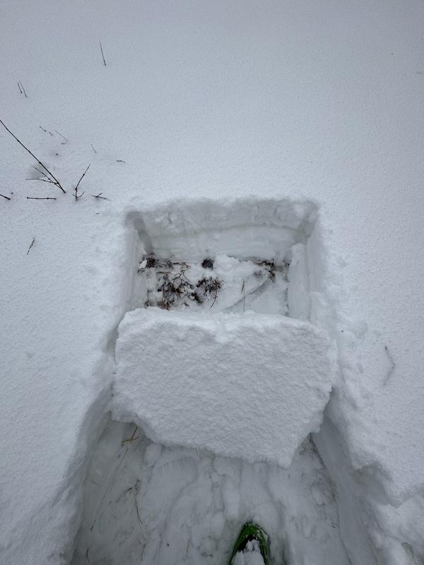
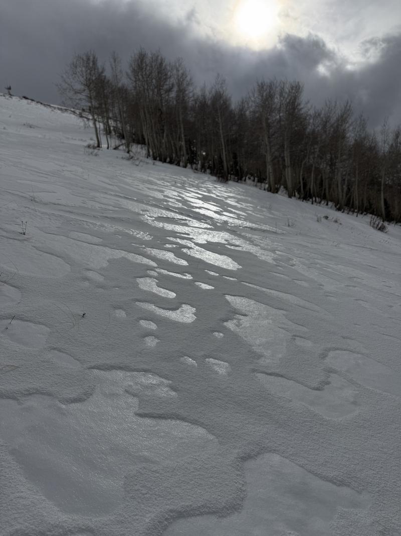
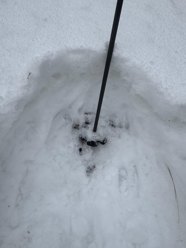
Went up to the PC ridgeline via USA Bowl. The entire snowpack was saturated all the way to the ground interface up to around 9200ft . Above that there was a rain crust that continued getting stouter up to at least 10,000ft. Dug a snow pit at 9500ft, NW facing, found a rain crust on the surface then a fairly dense slab, and a dry facets at the ground interface. Tried a few times to isolate a column with no luck, the slab would pop out with a decent amount of energy once the back of the test block was cut out. In my opinion the widespread rain crust is going to seriously complicate the snowpack, it will connect the snow pack more than it was already and most likely hold more weight and lead to larger avalanches when a steep slope collapses. When the temperatures get colder the lower and mid elevations should seize up and add some structure, right now it’s just a wet mess down low and some of the worst skiing i’ve ever had up high, and i’ve skied a lot of bad snow in my life. It only snowed a trace of graupel and what was there was getting blown to Evanston. The last photo is around 8900ft, completely saturated to the dirt. If we get the snow and wind tomorrow the hazard should increase
Video
Today's Observed Danger Rating
Moderate
Tomorrows Estimated Danger Rating
Considerable
Coordinates


