This morning's travel went from Guardsman Pass towards 10,420' to assess north-facing slopes ahead of the incoming storm. Travel remains difficult at mid-elevations. At upper elevations, north-facing slopes and areas with old wind-drifted snow are faceting.
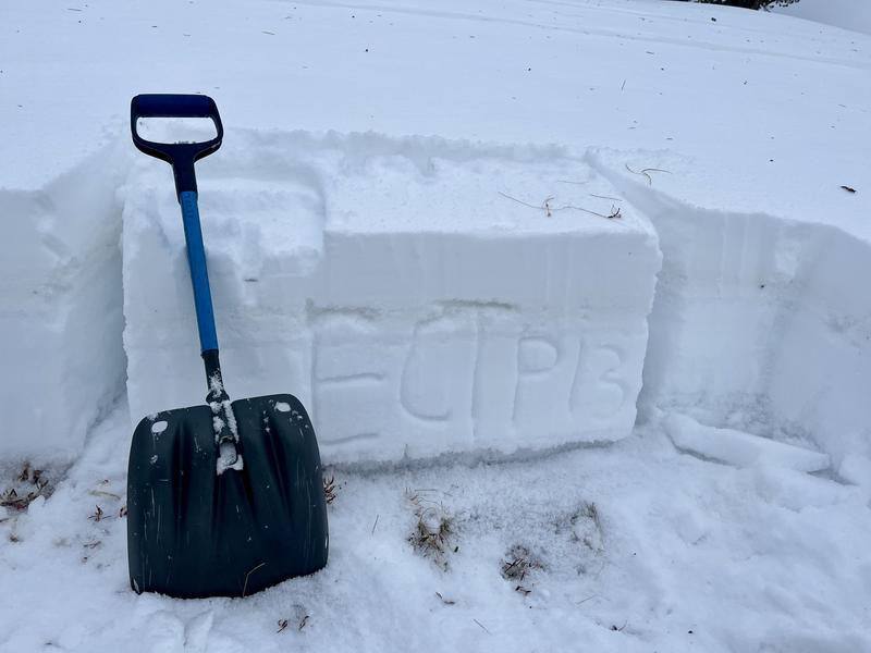
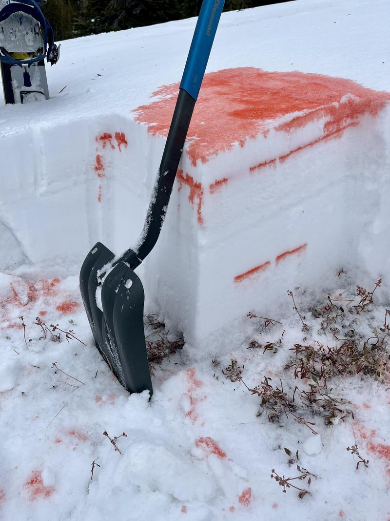
I dug a pit at Lane's Leap (NE, 9,620') and found poor snowpack structure. Early December snow at the base of the pack was falling out of the pit wall and propagated with moderate force in an ECT (ECTP13 at 44 cm below the surface).
We've now had three consecutive nights without a solid freeze in the mountains. Daytime temperatures, however, have been relatively restrained, topping out in the low 40s F. The warm but consistent temperatures seem to be limiting the wet snow issues for now. However, this is unusual weather, and I'm uncertain how rain at the start of this storm will affect the snowpack.
Snowpit at 9620' on a NE slope, and resulting ECT.
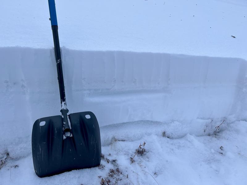
Old wind-drifted snow that has faceted out.
Some pooling found above the graupel layer 10cm below the surface, and halfway through the snowpack.
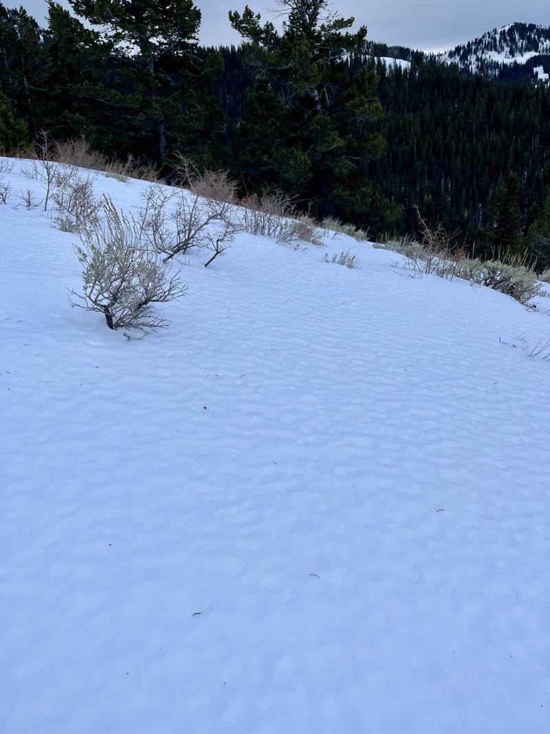
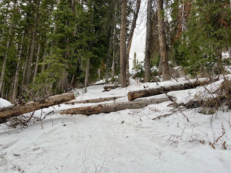
Travel conditions at mid-elevations
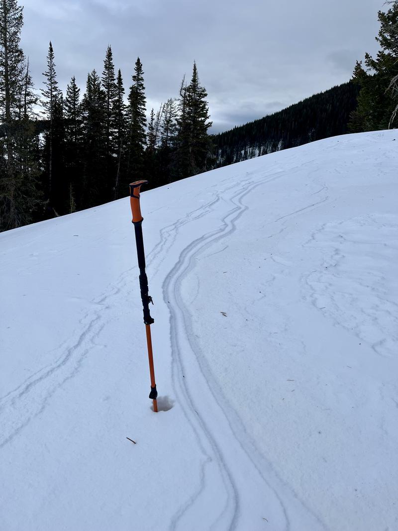
Snow surfaces at the upper elevation south-facing terrain