Donate Now to Our Year End Campaign!

Observation: Alta Periphery

Observation Date
12/21/2025
Observer Name
Malone, Conover
Region
Salt Lake » Little Cottonwood Canyon » Alta Periphery
Location Name or Route
Alta perimeter
Weather
Sky
Broken
Precipitation
Light Snowfall
Wind Direction
Southwest
Wind Speed
Moderate
Weather Comments
Moderate wind with strong gusts, active snow transport along ridge lines
Snow Characteristics
New Snow Depth
1"
New Snow Density
High
Snow Surface Conditions
Powder
Dense Loose
Wind Crust
Rain-Rime Crust
Snow Characteristics Comments

Varied surface conditions with wind and rime crusts and dense settled powder on protected low angle slopes.

Red Flags
Red Flags
Wind Loading
Poor Snowpack Structure
Avalanche Problem #1
Problem
Persistent Weak Layer
Trend
Same
Problem #1 Comments

We skied primarily south facing terrain but found a small gully at 10,320' with a NE facing wall on which to dig. We were looking for crusts formed during our recent warmer-than-usual temps and wanted to look at the basal facets. We found the expected large grain early season facets on the ground (dry, with grain sizes 2 to 3 mm), but were surprised to find reactive small grain facets sitting on top of the larger basal facets. ECTP 22 on these small grains, see video. We did not find any melt freeze crusts in this pit. Our best guess is the near surface facets formed during the cold temps the first week of December, and were then covered with dense snow on Dec 6th. It's one of multiple suspect layers in an upside down, shallow snowpack with terrible structure.

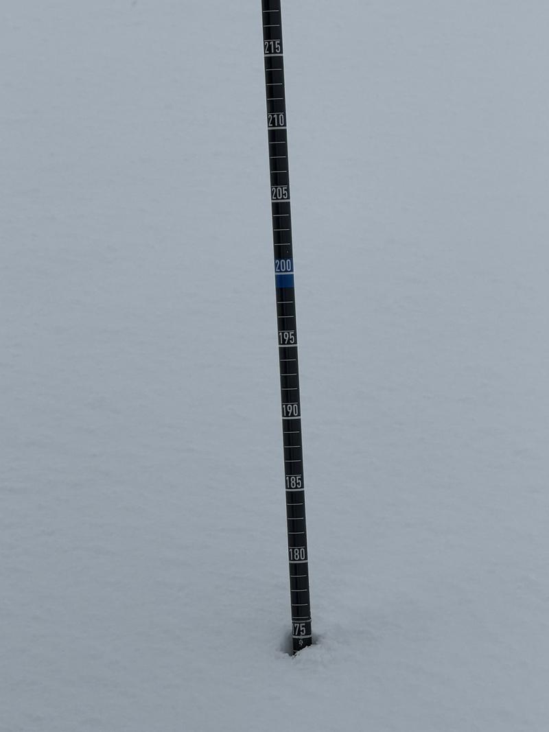
Snow depth was 75 cm where we dug, but was a whopping 175 cm just 10 meters downhill, where graupel likely rolled down and pooled in the gully. See pic.

Avalanche Problem #2
Problem
Wind Drifted Snow
Trend
Same
Problem #2 Comments

In spite of very warm temps and recent high density snowfall, we observed significant snow transport along the ridges.

Snow Profile
Aspect
Northeast
Elevation
10,300'
Slope Angle
25°
Video
Today's Observed Danger Rating
Moderate
Tomorrows Estimated Danger Rating
Moderate
Coordinates
Snow Pilot URL