UDOT PLANNED AVALANCHE CLOSURES!!

Observation: Pole Line Pass

Observation Date
12/21/2025
Observer Name
Maushund & Champion
Region
Provo » Snake Creek » Pole Line Pass
Location Name or Route
Snake Creek/Pole Line Pass
Weather
Sky
Overcast
Precipitation
Light Rain
Weather Comments
Overcast skies, humid air, and warm temperatures paint the day well. While we rode primarily in wind-sheltered terrain, we were able to see visible plumes of snow transport on high ridgelines, and experience brief periods of moderate SW winds when the terrain allowed. Light rain started to fall on our exit at 12:30.
Snow Characteristics
Snow Surface Conditions
Powder
Damp
Snow Characteristics Comments

Coverage from the trailhead left us riding on ice and dirt for sections until about 7600', where consistent snow coverage began along the road. Above 7800', the snow surface was 4-6 inches of dense, somewhat damp mix of powder and graupel over top a melt-freeze crust on all aspects. Facets exist below the crust everywhere we dug. HS 16-22 inches. While snow at mid-elevations below Big Flat was damp, the wet snow seems to have already reached it's peak of activity—worth removing from the forecast tomorrow. Dropping just on the other side of Sandy Baker Pass below 8500', the snowpack dramatically changed in character: thinner coverage, lower snow heights, and more rocks to dodge.

Red Flags
Red Flags
Poor Snowpack Structure
Red Flags Comments
In upper portion of mid- and upper-elevations (above 8800'), old, weak snow remains at the base of the snowpack on E-N-W aspects.
Avalanche Problem #1
Problem
Persistent Weak Layer
Avalanche Problem #2
Problem
Wind Drifted Snow
Comments

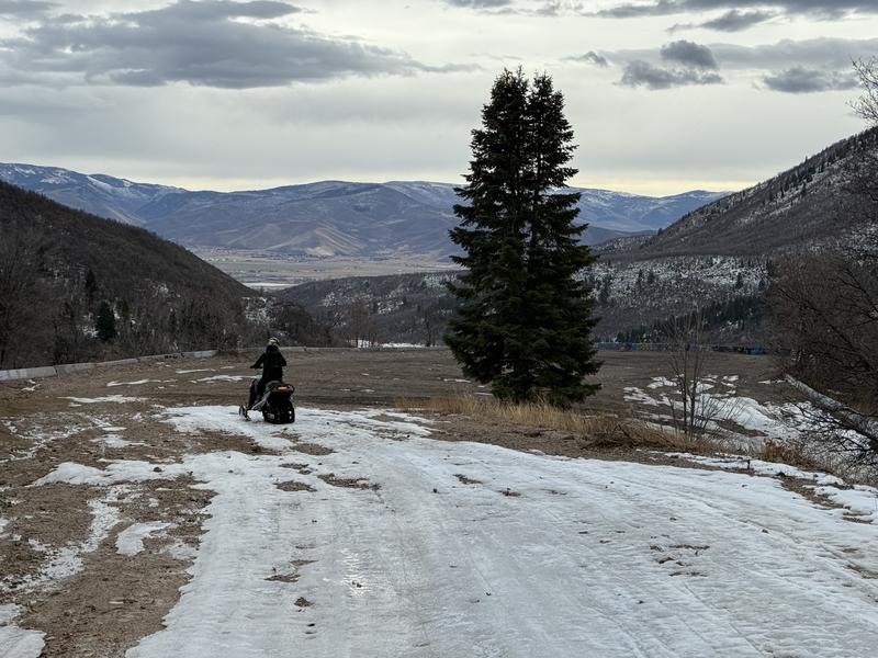
Photo #1 — Road coverage had some patchy & icy areas at lower elevations due to warm temps/rain. Nikki and I determined that the plus side of this was that we had a multi-sport day to celebrate the solstice: sledding, ice skating, and dirt biking all without leaving our sleds.

Photos #2-4 — Difference in snowpack depth and structure nuances between aspects. We found an isolated secondary, very thin, eggshell-like rain crust on a N aspect near 8800' where orographics likely squeezed out a small bit of warm moisture. Paying attention and being surprised—what observation is for.

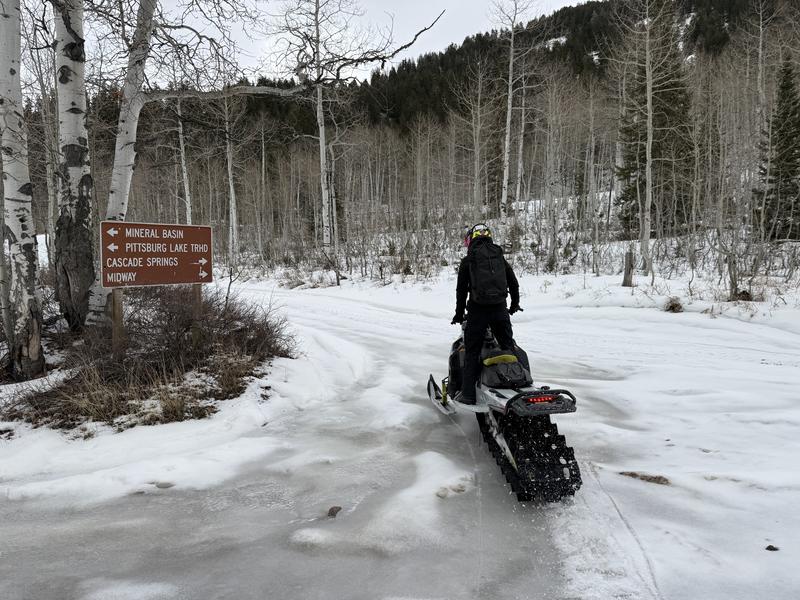
Photo #5 — The splash of the track paints a picture.

Today's Observed Danger Rating
Moderate
Tomorrows Estimated Danger Rating
Moderate
Coordinates