Donate Now to Our Year End Campaign!

Observation: Laurel Highway

Observation Date
12/20/2025
Observer Name
Trenbeath
Region
Moab » Laurel Highway
Location Name or Route
Laurel Highway to Julie's Backside
Weather
Sky
Overcast
Wind Direction
West
Wind Speed
Light
Weather Comments
Uninspiring overcast day in the mountains. Cloud cover made things a little cooler than we've seen over the past week or two but temps were still 10°F or more above normal.
Snow Characteristics
Snow Surface Conditions
Dense Loose
Faceted Loose
Wind Crust
Melt-Freeze Crust
Snow Characteristics Comments

Thin and variable snow conditions. The recent heatwave has melted most S-SW aspects down to bare ground. NW winds last week stripped many northerly facing slopes above tree line down to the rocks. The surface on exposed slopes that still hold snow ranges from stout melt freeze crusts on southerly aspects, to wind crusts and sastrugi on northerly facing slopes. Northerly facing, sheltered terrain near tree line and below holds between 12-24 inches of dense loose, faceted snow.

South facing Haystack Mountain and adjacent slopes are melted out down to the rocks.

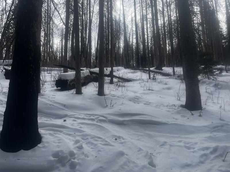
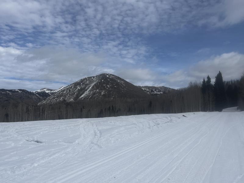
Low snow makes for challenging navigation.

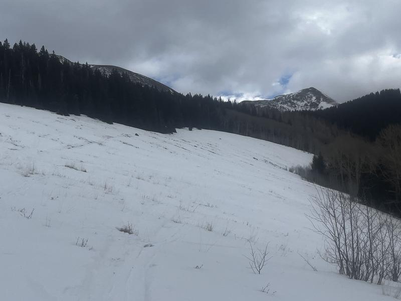
Low snow but a stout and supportable crust in Laurel Meadow.

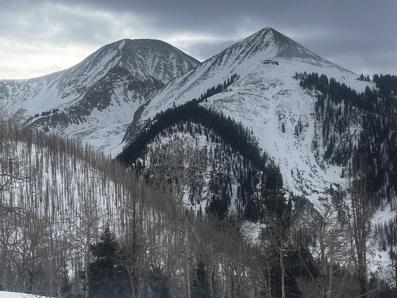
Wind blasted slopes on the high peaks of Mount Tukuhnikivatz (left) and Tukno (right).

Red Flags
Red Flags
Poor Snowpack Structure
Red Flags Comments
Faceted snow can be found around the compass on any slope that has snow although southerly aspects are well crusted over on the surface. On northerly facing slopes, the snowpack is faceting completely through but it still retains some cohesion. A clear line delineates the Nov 30 storm from the Nov 16-19 storm cycle. The Nov 30 snow remains slightly more dense and consists of smaller grained facets. Weaker, larger grains exist underneath. At the end of the day this splitting of hairs will be inconsequential when we get a load, but slab failure will likely occur first immediately below the Nov 30 layer. If the load is significant enough, avalanches failing to the ground will be likely.
Avalanche Problem #1
Problem
Persistent Weak Layer
Problem #1 Comments

Although the danger is currently low, we are setting up for a long duration, persistent weak layer problem with weak, faceted snow at the base of the snowpack. With a load, the danger will be most prevalent on northerly facing slopes near treeline. Wind scouring above tree line will make the problem a little less widespread, but there are plenty of areas up there with enough snow to make things problematic. Westerly aspects will also be hit and miss due to spotty snow cover. SE facing slopes also have weak faceted snow but they are in most cases, well crusted over, leaving only the highest elevations as places of concern.

Snow Profile
Aspect
Northeast
Elevation
11,000'
Slope Angle
30°
Today's Observed Danger Rating
Low
Tomorrows Estimated Danger Rating
Low
Coordinates