Donate Now to Our Year End Campaign!

Observation: Chicken Sh#! Ridge

Observation Date
12/20/2025
Observer Name
Meisenheimer / Maushund
Region
Salt Lake » Big Cottonwood Canyon » Days Fork » Chicken Sh#! Ridge
Location Name or Route
Spruces to Chicken Sh#! Ridge
Weather
Sky
Overcast
Wind Direction
West
Wind Speed
Moderate
Weather Comments
Calm wind off the ridges. Along the ridge top, the wind was gusty with no active drifting. Warm temps all day.
Snow Characteristics
New Snow Depth
5"
New Snow Density
Medium
Snow Surface Conditions
Powder
Damp
Snow Characteristics Comments

We finally hit cold snow starting around 8,500 feet. Below this elevation, the snowpack is completely saturated and isothermal, and avalanche danger is LOW. Above 8,500 feet, the snow transitions to dense powder coupled with graupel. There was roughly 5 inches of new snow sitting on the old snow surface. Riding and turning conditions were excellent in this upper-elevation terrain.

Red Flags
Red Flags
Poor Snowpack Structure
Avalanche Problem #1
Problem
Persistent Weak Layer
Problem #1 Comments

We continue to find two persistent weak layers in the snowpack. The first sits near the ground on slopes facing west through north through east at the mid and upper elevations. The second is a shallower weak layer 3–8 inches below the surface, sitting just beneath a crust.

We found this structure to be reactive on an east-facing slope at 8,500 feet, where our pit produced an ECTP20, indicating the slab can still propagate when triggered (see video).

Avalanche Problem #2
Problem
Wind Drifted Snow
Problem #2 Comments

While we didn’t observe any active wind drifting, it’s likely there are still wind-affected slopes out there. The most suspect terrain right now is steep, upper-elevation, rocky slopes that have been wind-loaded. In these areas, it would be possible to trigger an avalanche that fails on our persistent weak layer (PWL).

Comments

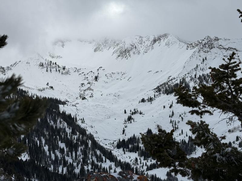
Photo 1: Looking into Cardiff.

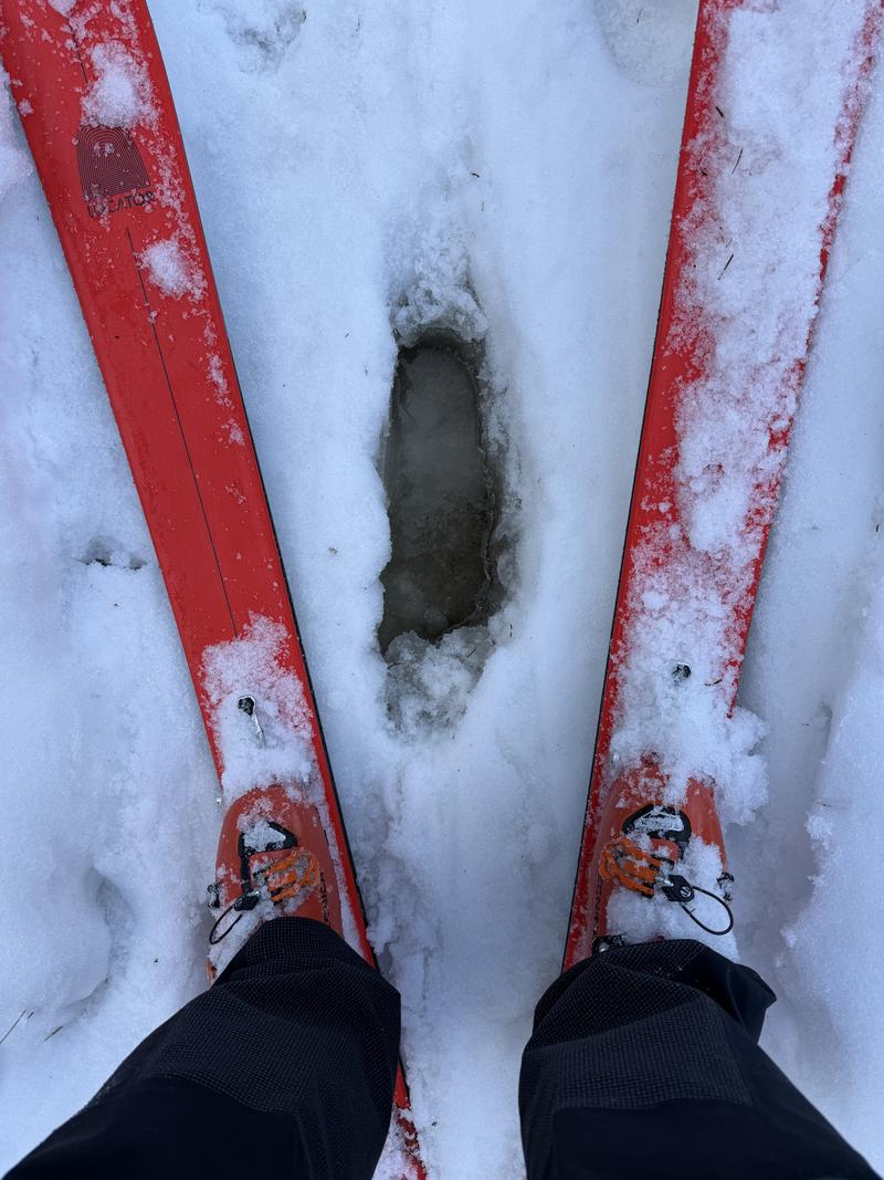
Photo 2: I promise it's not pee.

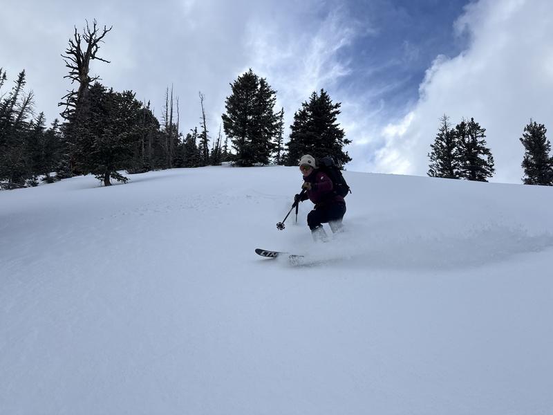
Photo 3: Brooke can shred.

Video
Today's Observed Danger Rating
Moderate
Tomorrows Estimated Danger Rating
Moderate
Coordinates