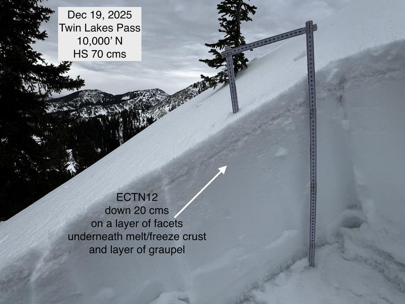
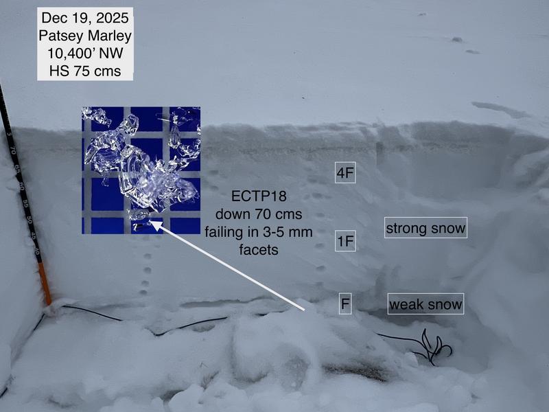
I dug several pits in elevations between 9,500'-10,500' in Grizzly Gulch, Twin Lakes Pass, and Patsey Marley. I found two prominent PWL layers:
1. About 20 cms (8") down from the snow surface and just underneath the melt/freeze crust that developed Wednesday. All extended column tests failing on this layer were ECTN 10-15.
2. The layer of basal facets and depth hoar down near the ground. On one pit with a stronger slab on top, I was able to get ECTP18 and ECTP21, failing in this layer of faceted snow and depth hoar.
What is tricky is determining how much of a load this PWL can support. On Wednesday, upper LCC received about 0.90" of water in a short duration (including 0.50" in an hour around frontal passage!) However, avalanche activity was minimal, which indicates the facets could support this load. (Very warm temperatures prior to frontal passage and a quick freeze of the old snow surface likely helped support this load.) But there is plenty of faceted snow throughout the central Wasatch, and at some point, there will be enough of a load to activate this buried PWL. Given the spatial variability of the snowpack structure where the PWL exists, some slopes - especially in thinner snowpack areas such as the Park City Ridgeline or slopes that avalanched around 12/6) - will likely avalanche before others (such as the upper Cottonwoods).
Photos of
- snowpack structure;
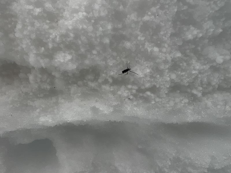
- a bug (in December) looking at the graupel layer from Wednesday;
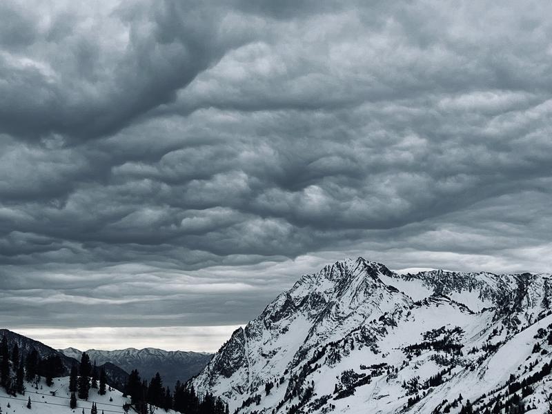
- clouds above Superior.