Donate Now to Our Year End Campaign!

Observation: White Pine

Observation Date
12/17/2025
Observer Name
Kelly, Grainger
Region
Salt Lake » Little Cottonwood Canyon » White Pine
Location Name or Route
White Pine
Weather
Sky
Overcast
Precipitation
Light Snowfall
Wind Direction
West
Wind Speed
Strong
Weather Comments
During our tour winds were strong to extreme and picked up after we finished. Nearby Hidden Peak Winds ( 11,000) were blowing from the west in the 40's gusting to the low 70's and increased to the 40's gusting to over 100MPH with the frontal passage a few hours later. High clouds, but we could still see the mountains. Temperatrures were well above freezing prior to the frontal passage.
Snow Characteristics
Snow Surface Conditions
Melt-Freeze Crust
Damp
Snow Characteristics Comments

Snow surface was a mixed bag of leaves, rocks, melt-freeze crust and damp snow. The trail was supportable, but off trail was a breakable mushy mess. Hopefully this storm brings along the southern shift in the jet stream and a much needed pattern change.

Snow Profile
Aspect
West
Elevation
8,900'
Slope Angle
33°
Comments

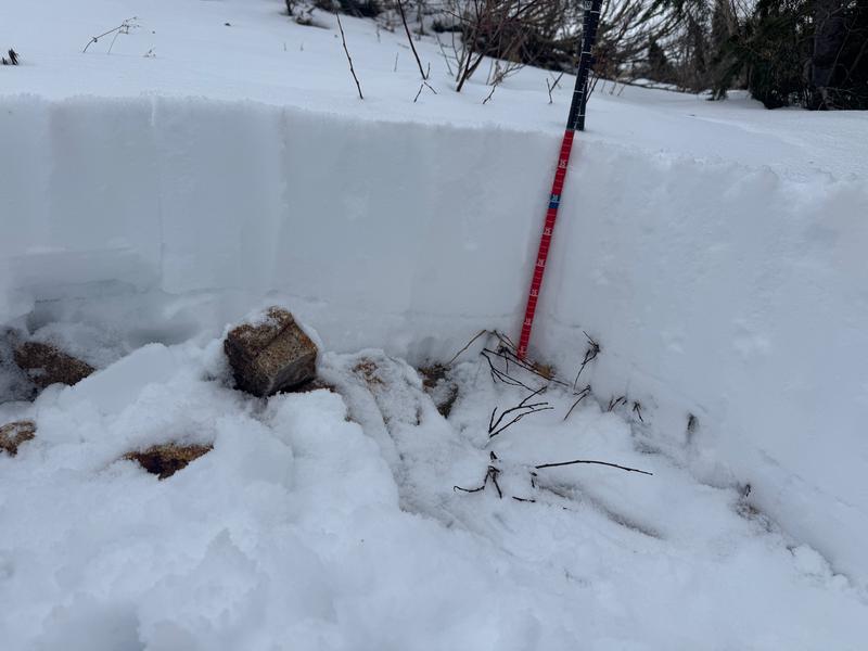
In the photo above you can see the thin gray line that was a refrozen ice crust above the damp facets. In this location and at this elevation the snowpack was saturated and damp from top to bottom.

Today, where and when we traveled we found an overall Low avalanche danger. We were out of there before the frontal passage came through later in the afternoon.

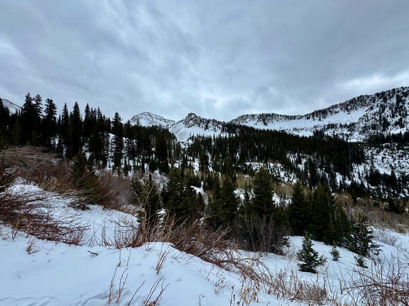
Photo showing thin coverage in the White Pine drainage.

Today's Observed Danger Rating
Low
Coordinates