Observation Date
12/13/2025
Observer Name
Maushund, J. Shields, Altizer
Region
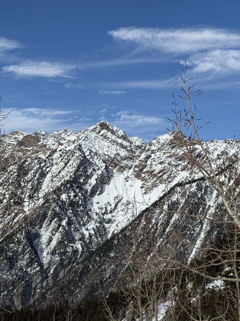
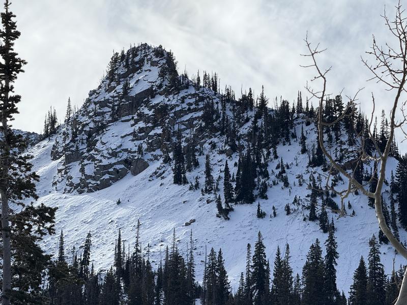
Salt Lake » Little Cottonwood Canyon » White Pine
Location Name or Route
White Pine
Weather
Sky
Clear
Weather Comments
Bright blue December spring day in the Central Wasatch. Mostly calm, clear skies, and temperatures above freezing after leaving the truck around 11:00. There was a notable temperature inversion while traveling between elevation bands.
Snow Characteristics
Snow Surface Conditions
Faceted Loose
Melt-Freeze Crust
Snow Characteristics Comments
Surfaces on all exposed aspects and elevations we traveled (7700'-10,000') had a melt-freeze crust from the several days of above freezing temperatures and barely below freezing temperatures in some areas in the mornings. The prevailing zipper crust makes for athletic ski conditions. The now faceting snow from last weekend's wet storm underneath the crust was damp enough to make snowballs, but remained dry at the interface with the old rain crust from prior in November. In select, sheltered northerly areas, pockets of faceted loose surface snow could be observed.
Red Flags
Red Flags
Rapid Warming
Poor Snowpack Structure
Red Flags Comments
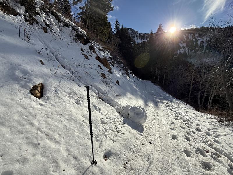
The height of warming appeared to have passed 24-48 hours ago in terrain we traveled. Small, surface-depth wet loose activity was observable on many solar aspects W-SW-S-SE appeared to run 1-2 days ago. Multiple pinwheels up to the size of bike tires were also observed, but were old enough to have refrozen since running.
Avalanche Problem #1
Problem
Persistent Weak Layer
Problem #1 Comments
The same structure for our persistent weak layer, well, persists. While I'd be surprised to see much natural activity at all on it with our current weather, the set up is still there for our next loading event...whenever that may be.
Avalanche Problem #2
Problem
Wet Snow
Problem #2 Comments
The height of the wet snow problem seems to have passed, and it is worth removing from the forecast with the current incoming weather trend.
Comments
Small, natural wet loose activity.
One of the many refrozen pinwheels that ran 24-48 hours prior.
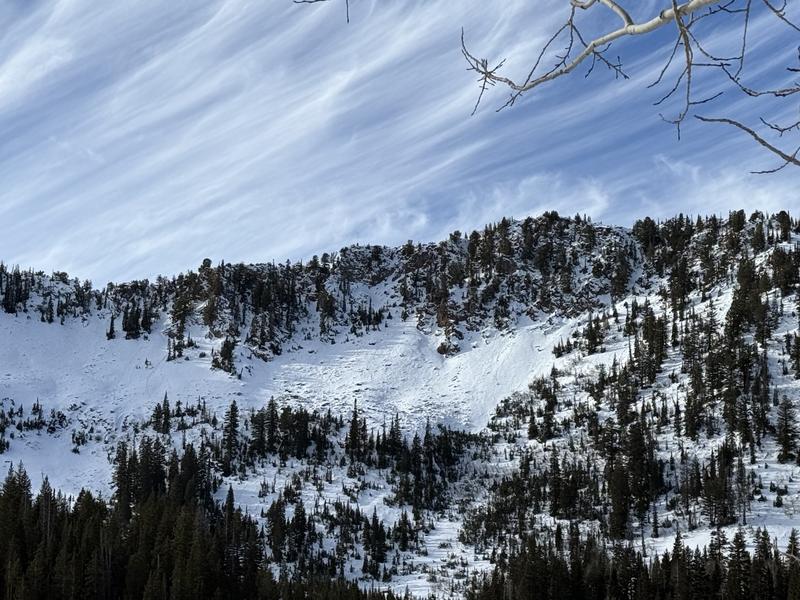
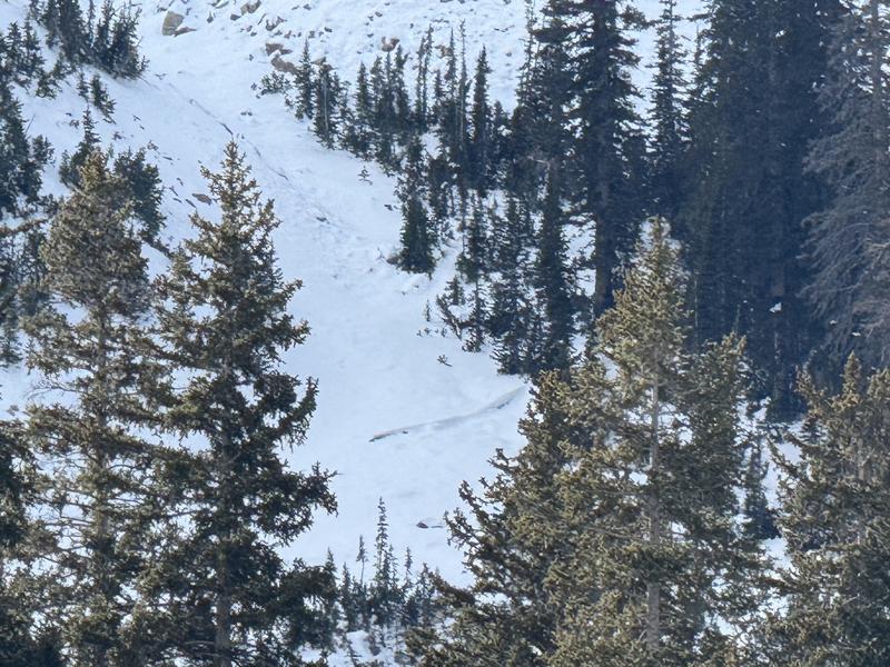
An old crown on a NNE aspect near 9500' that led to some speculation on a snack break. It likely ran during the height of the storm last weekend, close to the ground on weak old snow, and then was affected by the multiple days of above freezing temperatures.
Today's Observed Danger Rating
Moderate
Tomorrows Estimated Danger Rating
Moderate