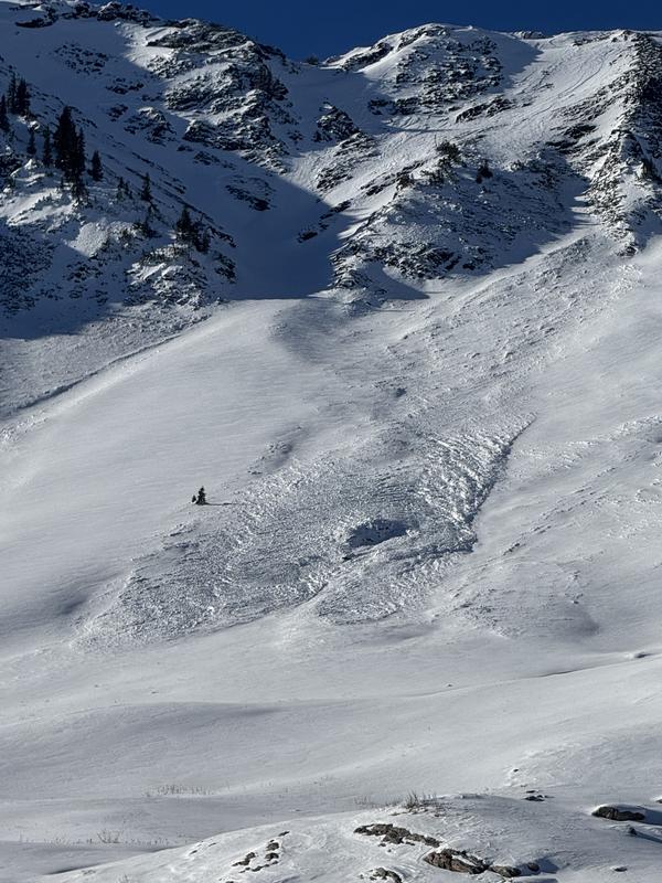
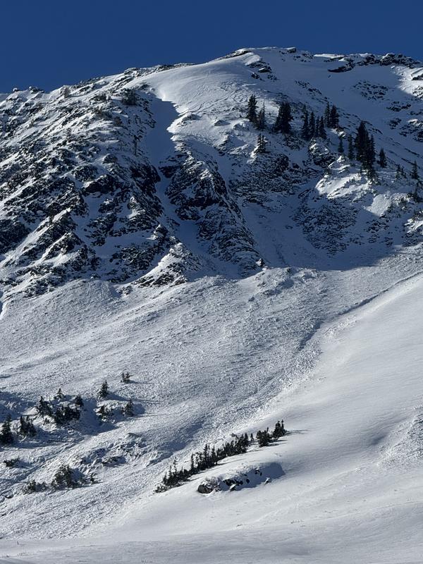
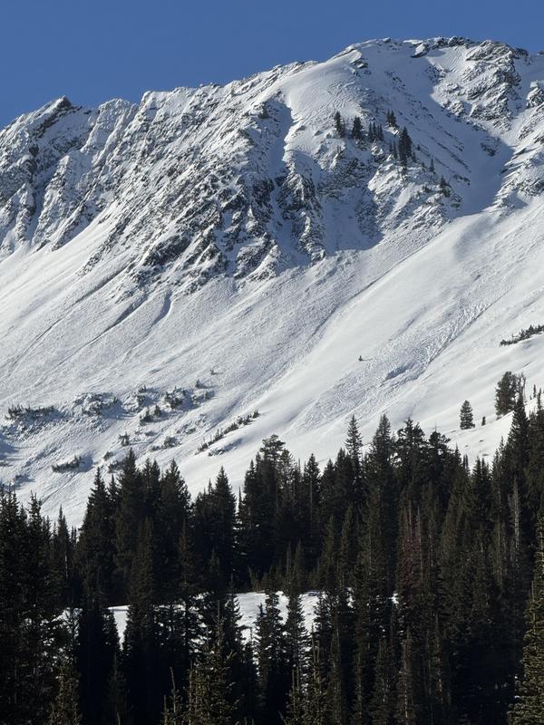
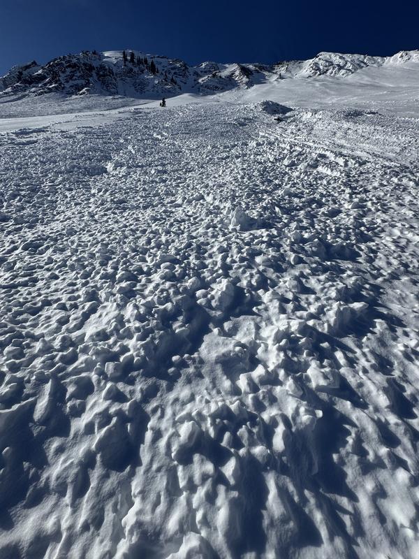
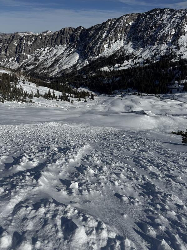
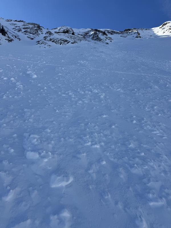
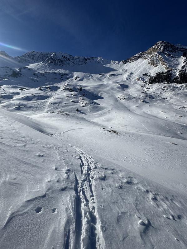
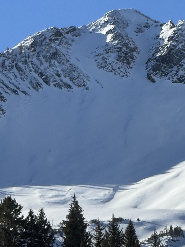
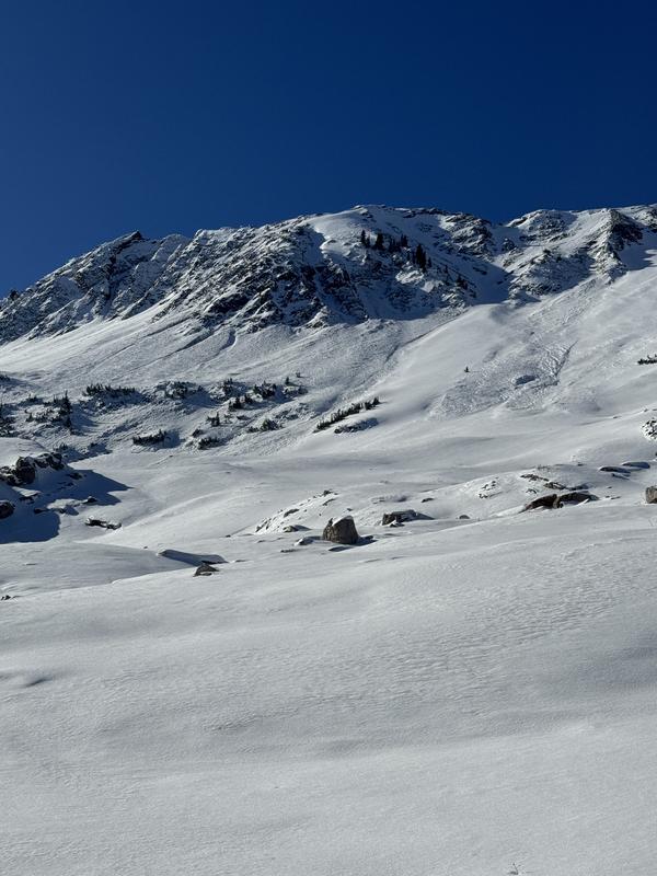
Finally made it up on Cardiac Ridge to see the extent of the avalanche activity from last weekend and what these slides left in the bed surface. Basically all of Cardiac Ridge, Cardiac Bowl, LSB, all the N facing Headwall and the lower rolls avalanched at sometime during the storm or soon after. The biggest slide I saw was on Hansens which is the steep E-NE facing portion of the ridge between the ridge proper and Cardiac Bowl, it ran all the was to the valley Bottom. I was mostly interested in what was remaining in the bed surface and what the unusually warm temperatures were doing to it. The info about bed surfaces is from the Ridge I did not go to the Bowl. The bed surface lower on the ridge was mostly stiff debris with no facets underlying it, a lot of that had to do with facets not being there in the first place and also by the heat created by the large slides. Up high in the bed surface is what I was more interested in cause that’s where avalanches start, up high under the rocks there was very little snow remaining with rocks and bushes exposed, this part of the bed surface was firm from heat and wind and also did not contain many facets. I proceeded to venture out on onto one of the only parts of the ridge that did not slide which is pretty E facing and basically discovered it did not slide because there wasn’t much faceted snow underlying it in the first place. I’ve got hope for the areas that had large slides because the warm temperatures are slowing the faceting process, and most of the weak snow had been flushed out or heated up by the slides. That being said i still thing you could trigger a slide on shady N-NE, steep slopes with the weak old facets underlying it, I’m almost thinking the mid elevation N are coming around due to warm temperatures. All bets are off it we sit around with our thin snowpack too long, it’s bound to facet out again this time of year with the low sun angle: Photos are slides and bed surfaces.