Check Out Our Holiday Auction!

Observation: Snowbasin

Observation Date
12/11/2025
Observer Name
Champion & Maushund
Region
Ogden » Snowbasin
Location Name or Route
Snowbasin Periphery
Weather
Sky
Few
Wind Direction
West
Wind Speed
Moderate
Weather Comments
Warm day with temps climbing into the low 40s. Mostly clear skies with a few high clouds drifting around. Winds stayed light, with the occasional moderate gust along the ridgelines.
Snow Characteristics
Snow Surface Conditions
Wind Crust
Melt-Freeze Crust
Damp
Snow Characteristics Comments

A mix of snow surfaces out there. At lower elevations or on solar aspects, the snow was damp. In spots that had warmed up and then dipped back into the shade, a thin melt freeze crust formed, which made it tricky to hold an edge and sometimes supportable and sometimes not. In the wind zone, we found the spectrum. Along the ridge crests, there were big, supportable wind drifts you could arc turns on, all the way down to thin wind skins that you could punch through while turning.

Red Flags
Red Flags
Poor Snowpack Structure
Red Flags Comments
The poor snowpack structure is present on north-facing aspects. While the surface snow has undergone some changes, such as slight settlement, dampening, and wind effects, you can feel the weak facets below the surface.
Comments

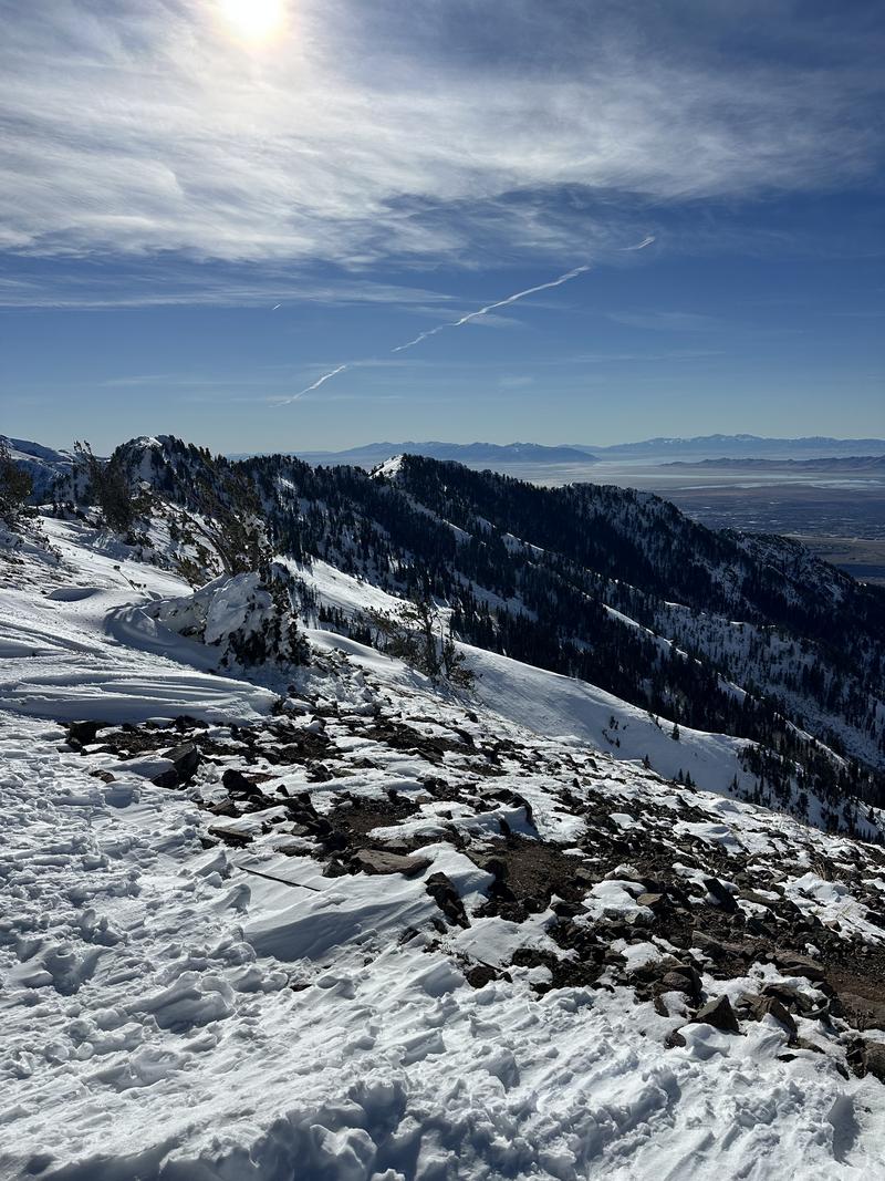
The primary takeaways today focused on overall snow coverage. On north-facing aspects, coverage was well connected above 7,000 feet. Surprisingly, south-facing aspects appeared to have more continuous coverage above 7,800–8,000 feet. While much of this snow fell on bare ground and likely does not pose a persistent weak layer (PWL) concern at the moment, given the temperatures and sun angle, I would expect the southerlies, especially southeast aspects, to retain that snow and potentially develop a PWL issue over time.

Looking into Burch Creek - NW facing terrain

Looking into Burch Creek - SE facing terrain

Today's Observed Danger Rating
Moderate
Tomorrows Estimated Danger Rating
None
Coordinates