Check Out Our Holiday Auction!

Observation: Timpanogos

Observation Date
12/9/2025
Observer Name
UAC Staff
Region
Provo » Timpanogos
Location Name or Route
South Timpanogos
Weather
Sky
Broken
Wind Direction
Southwest
Wind Speed
Moderate
Weather Comments
Gusty winds above 7,500 feet, but due to the damp snow surface, no snow transport.
Snow Characteristics
Snow Surface Conditions
Wind Crust
Damp
Snow Characteristics Comments

Snow depths below 8,000 feet are 15-30 cms (6-12 inches) on the shady slopes, with southerly-facing slopes completely bare. I only made it to 8,300 feet, but once you get above 8,000 feet, snow depths are up to 45 cms, especially in wind-loaded areas.

Red Flags
Red Flags
Poor Snowpack Structure
Red Flags Comments
Poor structure, with a 10-15 cm (4-6 inch) layer of damp facets down near the ground. I only made it to 8,300 feet, but I suspect higher elevations have dry facets from November snow down near the ground.
Avalanche Problem #1
Problem
Persistent Weak Layer
Trend
Decreasing Danger
Problem #1 Comments

The snowpack was unreactive where I was looking on northerly aspects just above 8,000 feet, with ECTX (no fracture).

Comments

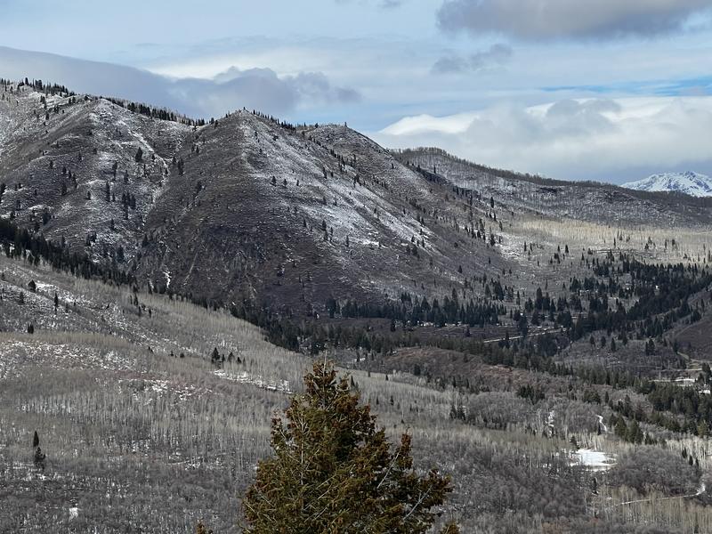
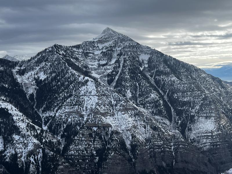
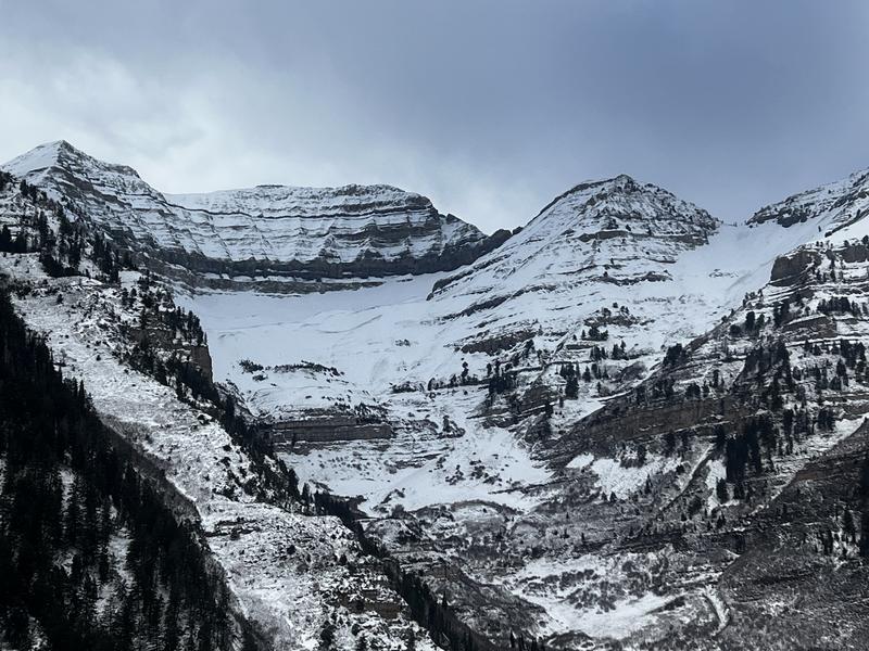
Travel today was up to 8,300 feet where the dense snow from this past weekend provided supportable travel conditions, although most of the time I was looking upwards to the coverage in upper-elevation starting zones where there is now enough snow on W/N/E aspects that will weaken with the upcoming prolonged high pressure.

Photos:

- Bob's Knob

- Cascade Mountain

- Big Provo Cirque

- South end of Timpanogos

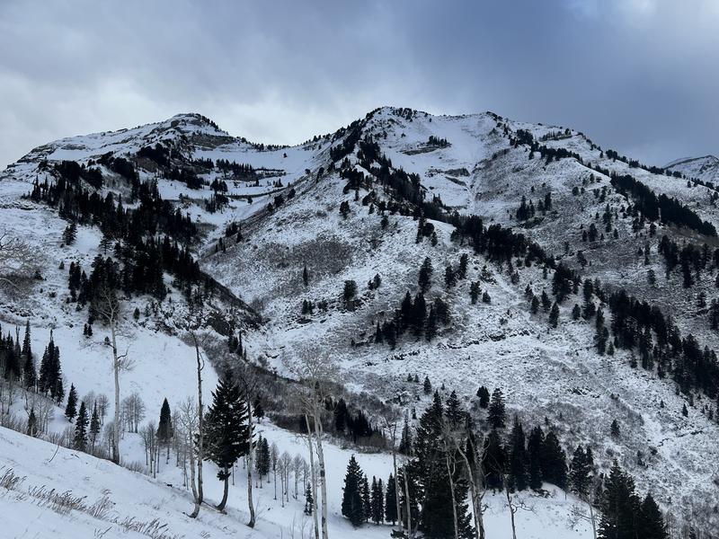
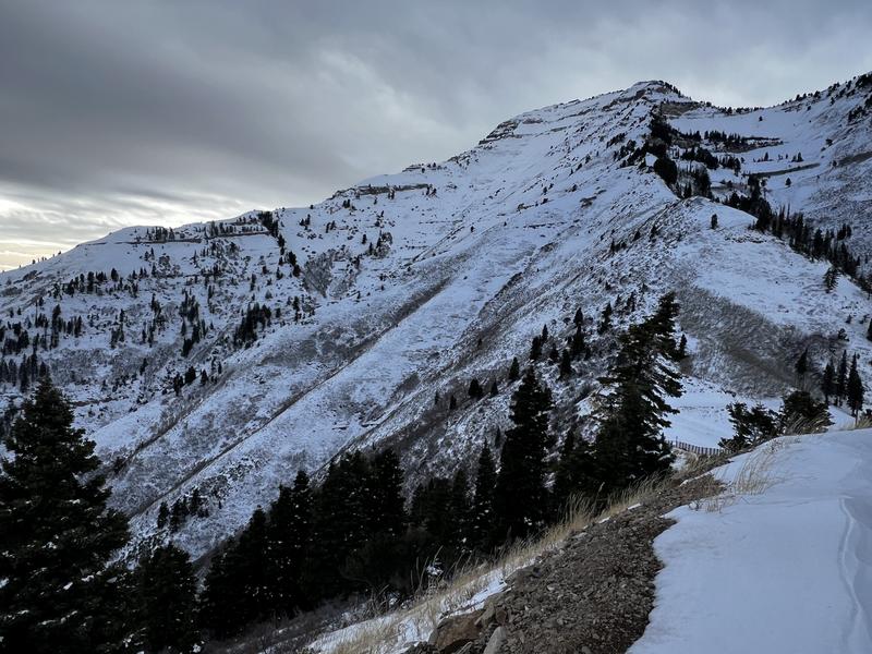
Low danger where I was traveling (below 8k) but with a PWL present, the danger is higher once you get closer to 9k.

Today's Observed Danger Rating
Moderate
Tomorrows Estimated Danger Rating
Moderate
Coordinates