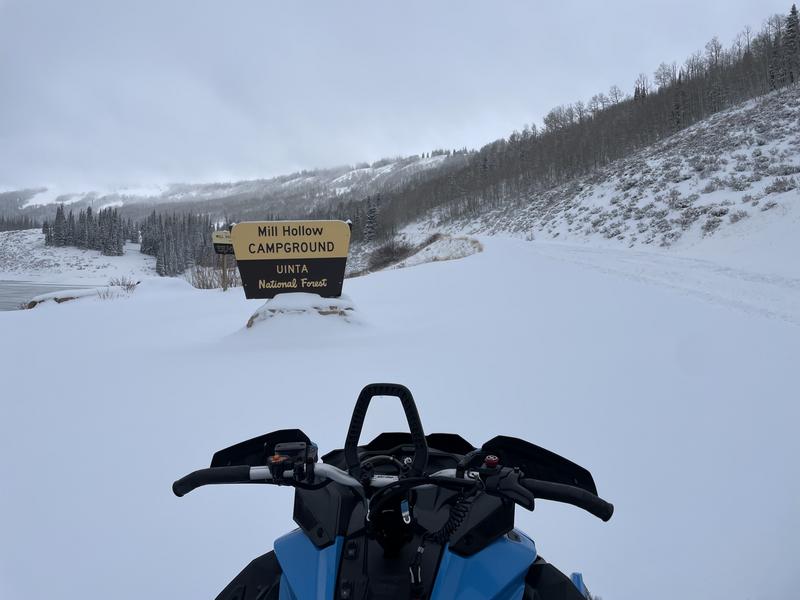
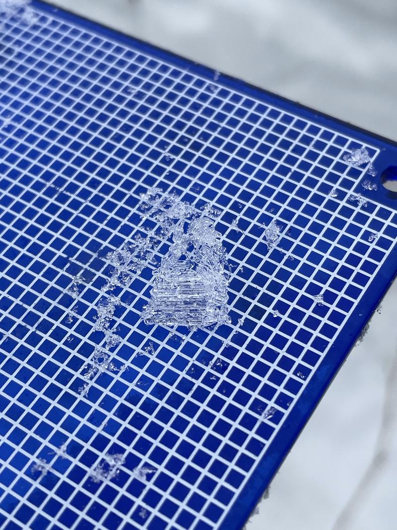
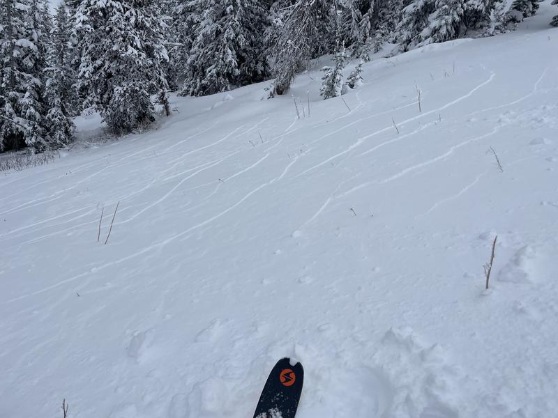
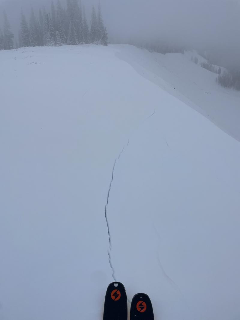
The Uintas are a tale of two snowpacks at the moment. One, at lower elevations, is hardly a snowpack at all (photo attached from bushy lower Mill Hollow near the guard station). Higher in elevation, old snow (layers 0-14cm in the attached profile) produced ECTP1, cracking, collapsing, and crevassing (in the case of some ridgeline stomping - pictured). Additionally, this layer "shattered" the same slope from the attached snow profile, notably low angle (25 degrees) for a result of this nature. The finding of intact surface hoar (pictured) in the attached profile may be an explanation. This old snow was buried on 20251130, by last weeks storm. During the last week, snow from the aforementioned storm snow was not observed to have weakened in the attached profile. Thus, tracking hazard is largely accomplished by tracking the presence and connectivity of the snow buried 20251130.