
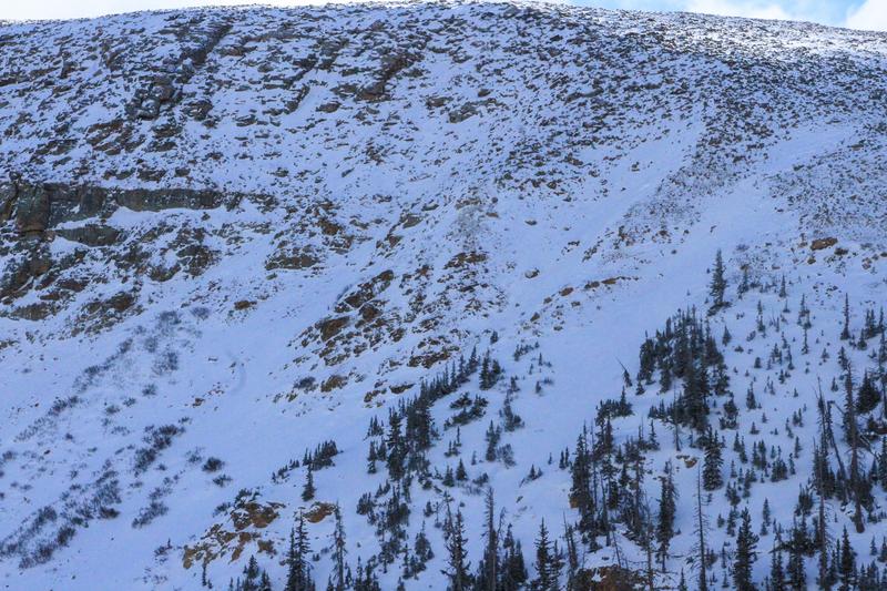
Looking at treeline on Murdock, a northeast facing slope around 10,600'.
It's early and things are still super thin. Unfortuantely, where the snow is stacked up the deepest, is where the avalanche hazard exists. At and above treeline in wind-loaded areas on the north half of the compass is where I would expect to find a pocket of stiff, wind-drifted snow reactive to my additional weight.
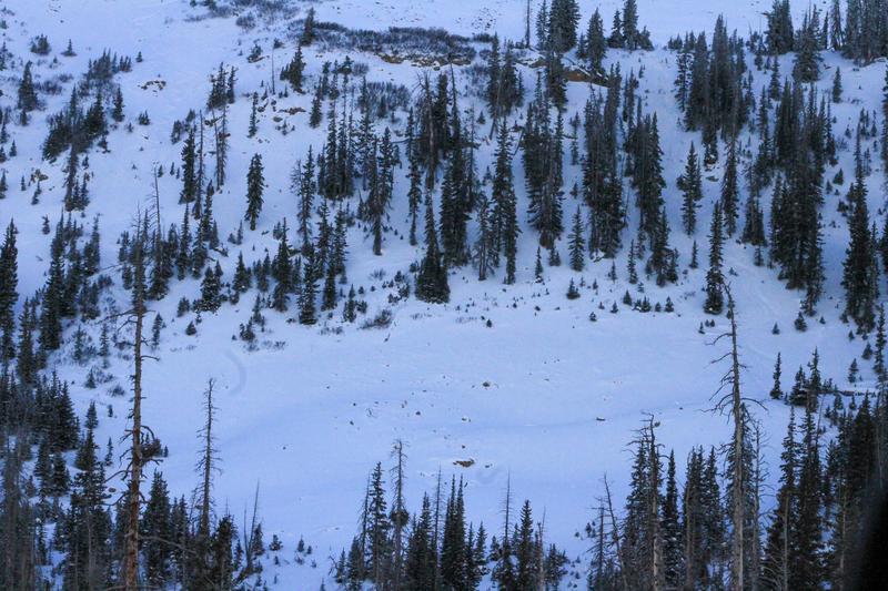
Down in the Murdock runout areas at around 10,300' on a northerly aspect.
Out of the windzone and in more protected areas, snow depths range from 35-75cm's (1-2') above 9,000'. In these areas, the pack is weak, sugary, and not very supportive for travel. Cold clear days and nights lend a hand to a sparkly surface, driven by the faceting process, and the pack is soft and weak from top to bottom.

The profile above is a good representation of what the snowpack looks like in protected areas on the north half of the compass. This set-up is sure to be a house of cards when we stack a fat slab on it.

Compared to the first profile dug in a protected area, this is from above treeline. Here you can see a stiff, 1-finger windslab in the upper portion of the snowpack that was formed by a combo of recent snow strong winds over the past week. This one of the deeper areas that I have dug in, and home to our main avalanche problem.
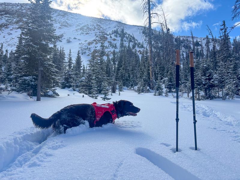
Things are slowly starting to fill in, but rocks, stumps, and anything else you could think of hiding under the snow is still my greatest concern.


