Check Out Our Holiday Auction!

Observation: Davenport Hill

Observation Date
12/2/2025
Observer Name
Maushund
Region
Salt Lake » Little Cottonwood Canyon » Davenport Hill
Location Name or Route
East Bowl Pass/Davenport
Weather
Sky
Overcast
Precipitation
Light Snowfall
Wind Direction
Northwest
Wind Speed
Light
Weather Comments
The day started out with high overcast skies, a light NW wind, and light (S1 to S1-) snowfall. Some brief breaks in cloud cover allowed for some sun to shine through before 13:00. By 14:00, skies became more socked in, with winds increasing to moderate and precipitation picking up to moderate snowfall (S2) as I returned to the truck. Mountain temperatures remained well below freezing throughout the day.
Snow Characteristics
New Snow Depth
5"
New Snow Density
Low
Snow Surface Conditions
Powder
Melt-Freeze Crust
Snow Characteristics Comments

3-5in of fresh snow from storms in the past 48 hours covered the ground above 9000' leading up to East Bowl Pass. Most of these slopes had soft surfaces of loose powder snow, with the steeper southerly slopes I traveled having a very thin (<1cm) melt-freeze crust. Significant past wind transport led to 10-20" wind deposits on the far side of East Bowl Pass.

The takeaway of the day for me was that I was able to find weak, old snow at the base of the snowpack on upper elevation westerly slopes in addition to the NW-N-E slopes we mentioned in the forecast. While I was not able to find this snow consistently upon digging eight different hasty pits spread out over the area, the presence of 4" of faceted snow below 5" of new snow on westerly slopes is of note.

Red Flags
Red Flags
Recent Avalanches
Wind Loading
Poor Snowpack Structure
Red Flags Comments
While our persistent weak layer is not everywhere, it's causing problems where it is. Keeping note of these small events can hint at larger things to come when we get more significant loading. There was one snowboarder-triggered avalanche that our observer Hathcock reported to us later in the day—you can see his observation here (https://utahavalanchecenter.org/avalanche/97568). This avalanche started as a dry loose in the new snow on a NE aspect at 10,000 feet off Davenport, but gouged down all the way to the weak, faceted snow at the base of the snowpack. It ran more than 200 vertical feet. I was also able to spot a small slab avalanche that looked to break on weak snow at the base of the snowpack on a N-facing slope near 9800' on the Patsy Ridge above Michigan City. The trigger remains unknown.
Avalanche Problem #1
Problem
Persistent Weak Layer
Trend
Same
Problem #1 Comments

While inconsistent, the presence of old, faceted snow near the base of the snowpack on upper elevation westerly slopes unfortunately increases the number of slopes I'll be wary of heading into the next significant storm.

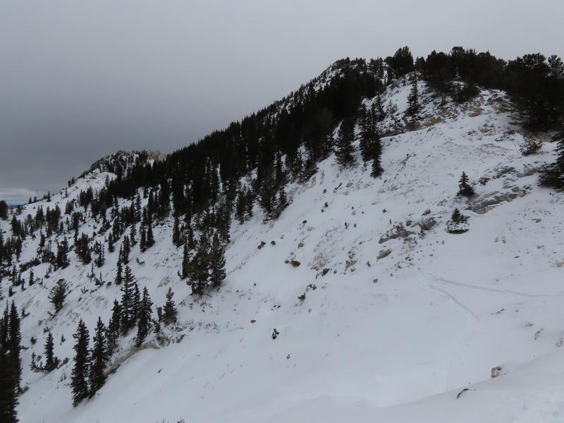
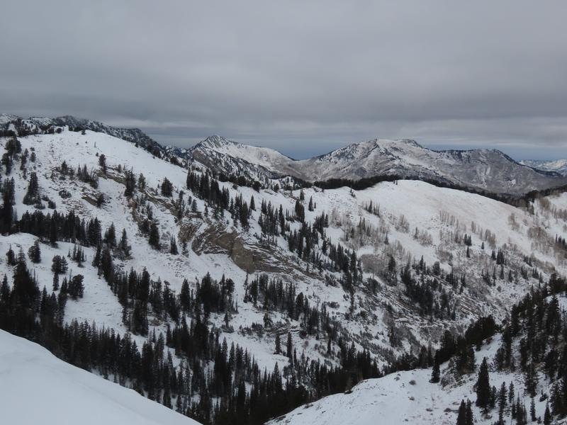
Coverage near East Bowl Pass. Looking towards East Bowl, then down Silver Fork's northerly slopes.
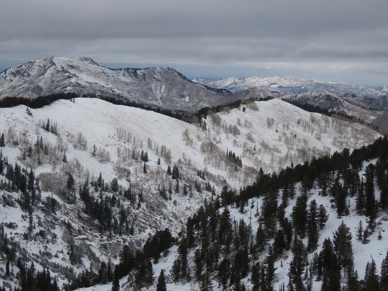
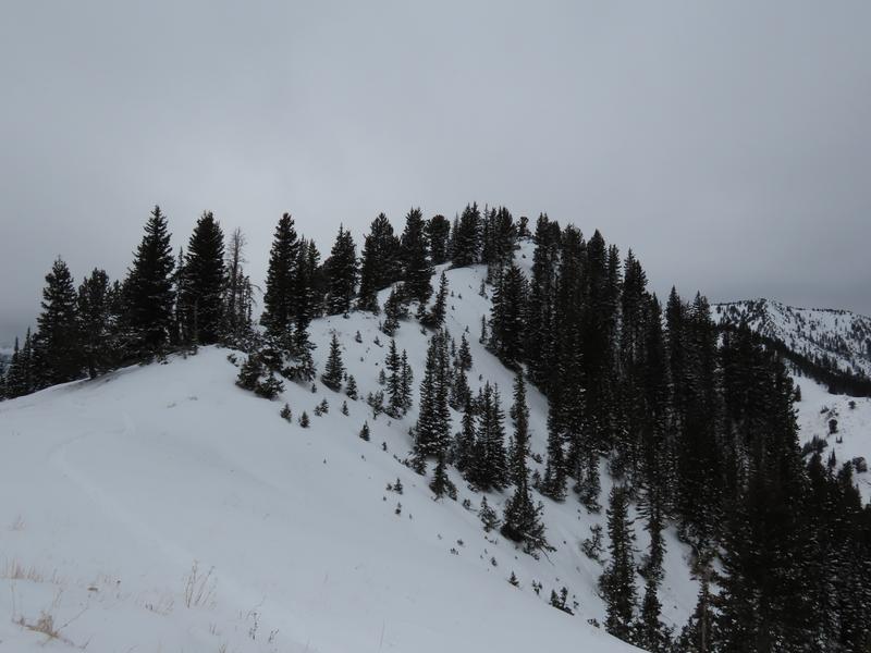
Towards Davenport.

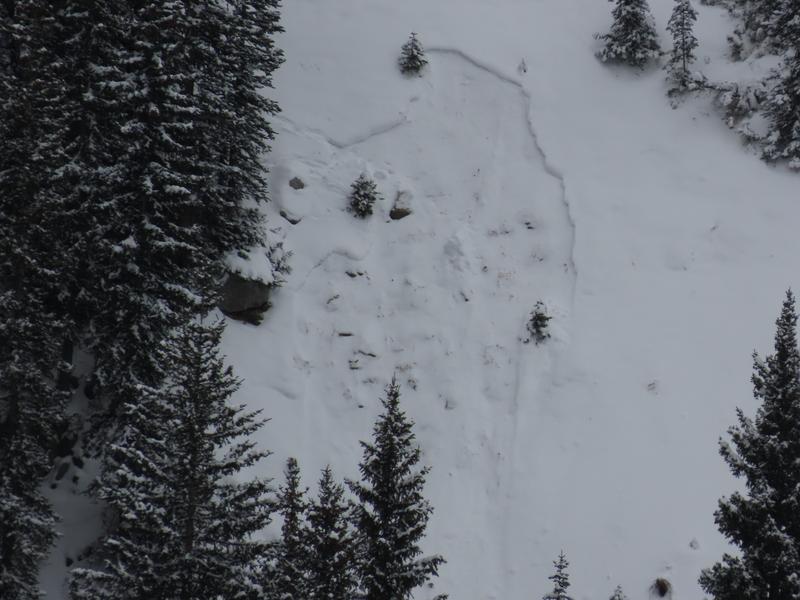
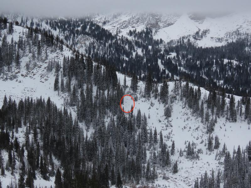
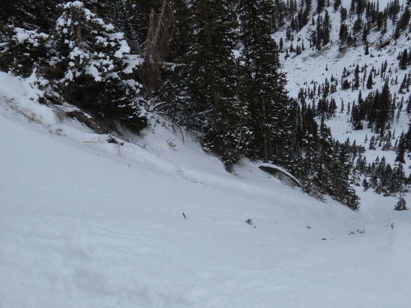
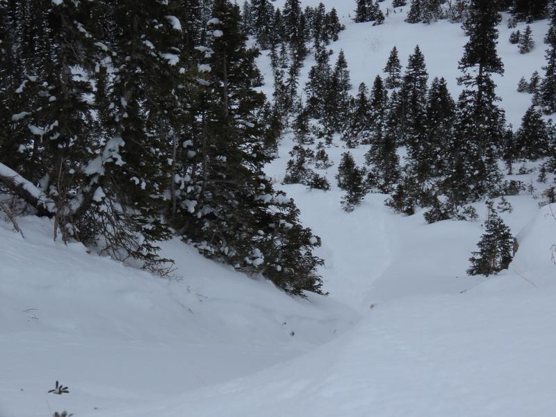
Additional photos of Hathcock's slide that I happened upon.

Today's Observed Danger Rating
Moderate
Tomorrows Estimated Danger Rating
Moderate
Coordinates