Observation Date
12/1/2025
Observer Name
Ryan Huels
Region
Moab » Laurel Highway
Location Name or Route
Laurel Highway, NE
Weather
Sky
Clear
Weather Comments
Happy first meteorological day of winter. It sure felt and looked like it up in the La Sals. It was a clear and cold day with very light winds out of the NW. Temperature in the winter parking lot at 1000 was 13 degrees and remained in the upper teens above tree line. Very little snow moving around from the wind today. Gorgeous day in the mountains. More potential for snow coming to the region Tuesday into Wednesday.
Snow Characteristics
New Snow Depth
9"
New Snow Density
Low
Snow Surface Conditions
Powder
Snow Characteristics Comments
9-12” of right side up snow fell in the Mountains Sunday and Sunday night that was accompanied by winds out of the SW and NW. There was 6-7” in the parking lot and more as you went up in elevation. The snow pack is thin and skiing/riding is limited to grassy meadows. Areas in the trees, in deadfall, and in rock/scree isn’t quite ready to go yet. However, I was able to find good turning in grassy areas in the upper portions of The Funnel.
Red Flags
Red Flags
Recent Avalanches
Wind Loading
Collapsing
Poor Snowpack Structure
Red Flags Comments
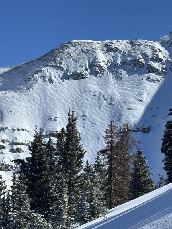
The new snow has put a load on top of our previous snowpack that did begin to weaken and facet prior to this storm. I noted small avalanches large enough to burry someone on the steep northerlies of Tuk above Lower Cirque. I did feel some collapsing up high above treeline on north facing terrain where the new snow is slightly more firm from the wind. My greatest concern is on north facing terrain where there is a weak layer lurking beneath. Overall the danger is low but certainly heightened in select areas of North facing terrain.
Avalanche Problem #1
Problem
Persistent Weak Layer
Trend
Same
Problem #1 Comments
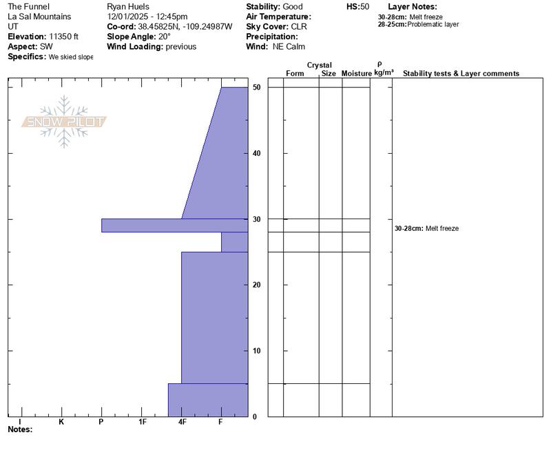
A weak layer of faceted snow lies beneath the new 9-12” that came Sunday. On NE facing terrain I was able to produce full propagation in my extended column test on this faceted layer and on SW facing terrain there is a weak layer that lies beneath a very thin melt/freeze crust.
Snow Profile
Aspect
Northeast
Elevation
11,300'
Slope Angle
15°
Comments
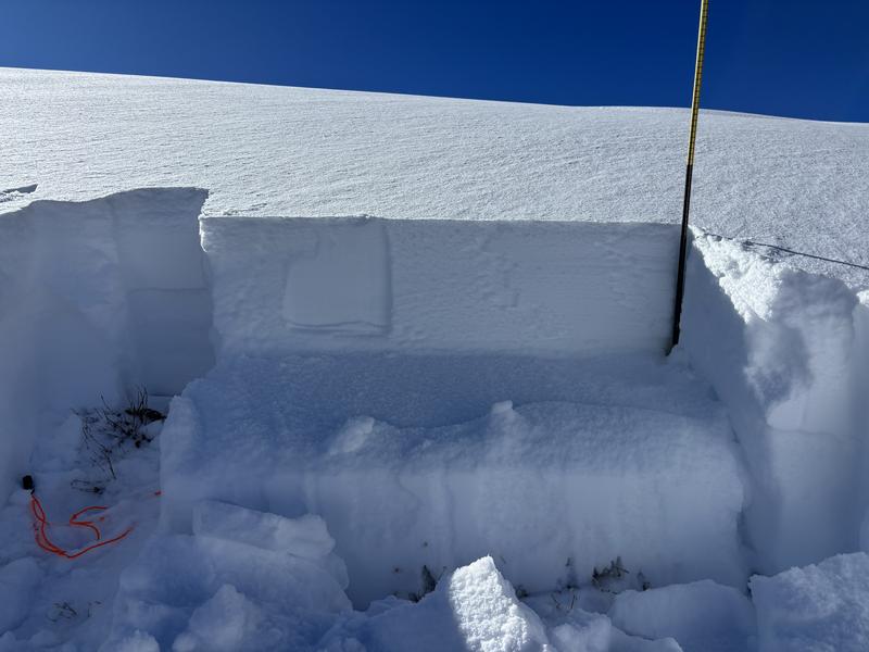
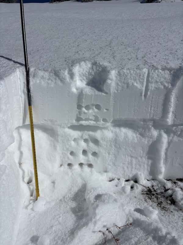
Snow pit on NE facing terrain right around treeline just below a ridge line where SW winds were depositing snow. ECTP 16 at the weak faceted layer that lies under our 9-12” of new snow. I’m avoiding avalanche terrain in the northern half personally
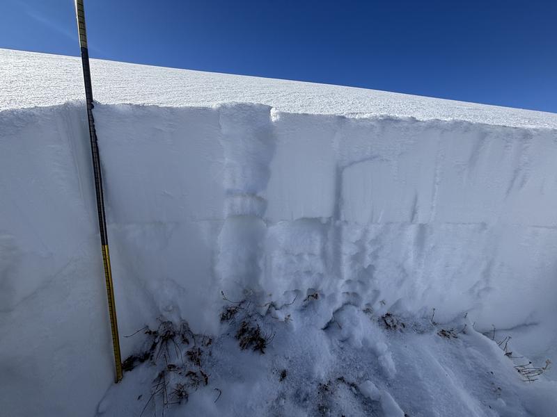
Snow pit on SW facing terrain in the funnel. Weak layer present here as well underneath a 2cm M/F crust. I skied terrain less than 30 degrees on SW facing terrain as the snowpack is still quite thin.
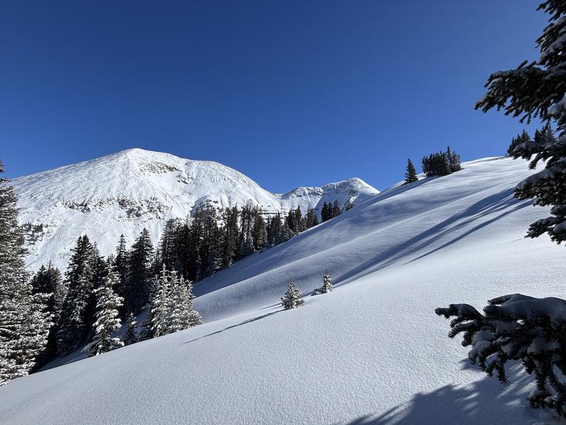
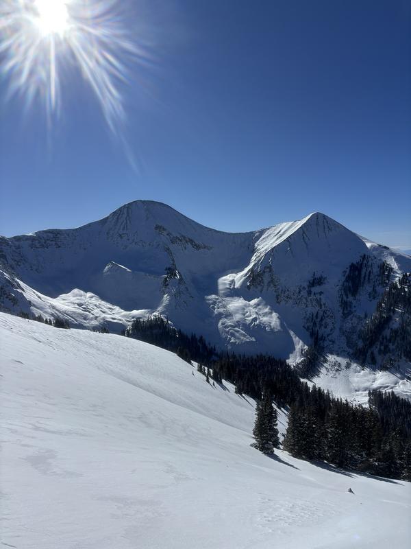
Presence of wind drifts and wind slabs in the high alpine from the storm event.
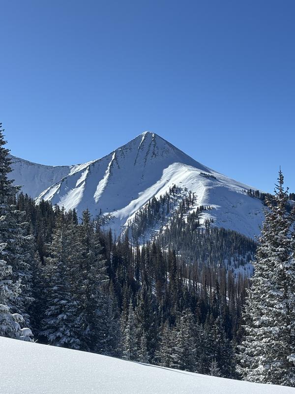
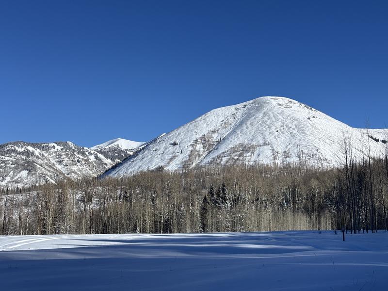
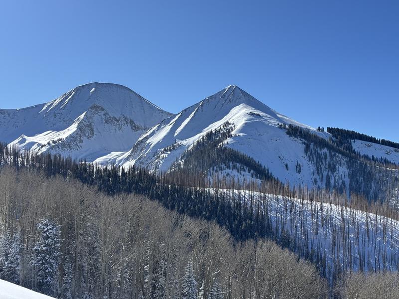
Views of the range and some quality turns for December 1st standards
Today's Observed Danger Rating
Moderate
Tomorrows Estimated Danger Rating
Moderate
Snow Pilot URL