Observation Date
4/6/2025
Observer Name
Kelly
Region
Salt Lake
Location Name or Route
Upper LCC-Mid and Upper BCC
Weather
Sky
Clear
Wind Direction
Northwest
Wind Speed
Light
Weather Comments
Light northwest winds on the highest ridgelines with air temperatures below in the mid 20's °F on the highest peaks and in the high 30's to mid 40's °F below 8,000'. Skies were clear and the wind kept the snow surface cool in the higher elevation terrain.
Snow Characteristics
Snow Surface Conditions
Powder
Melt-Freeze Crust
Snow Characteristics Comments
The snow surface was a mixed bag depending on time and aspect and elevation. North-northeast facing slopes over 10,200' were soft and had a faceted snow surface. As soon as you kicked to south or west it was a totally different story. South and west facing slopes were a mix of refrozen junk and northwest facing slopes were a breakable crust. North facing at the mid and lower elevations was refrozen breakable or damp depending on elevation. The April sun works fast on the snow surface.
Photo of breakable surface crust on a mid-elevation northwest facing slope
Avalanche Problem #1
Problem
Wet Snow
Problem #1 Comments
There was evidence of a wet loose avalanche cycle on south,west, and some mid elevation east facing slopes. There was also evidence of old glide avalanches in Mill B and Broads Fork.
Avalanche Problem #2
Problem
New Snow
Problem #2 Comments
Photos of rider triggered dry loose avalanches
Today where I traveled and during the times I traveled the avalanche hazard was LOW, and it could be managed with timing, avoiding steep sun warmed slopes as the day wore on. I started early and was exiting low angle slopes around 2pm and didn't see any new wet snow activity. I did trigger some shallow dry faceted snow avalanches that were only a few inches deep on steep north facing terrain.
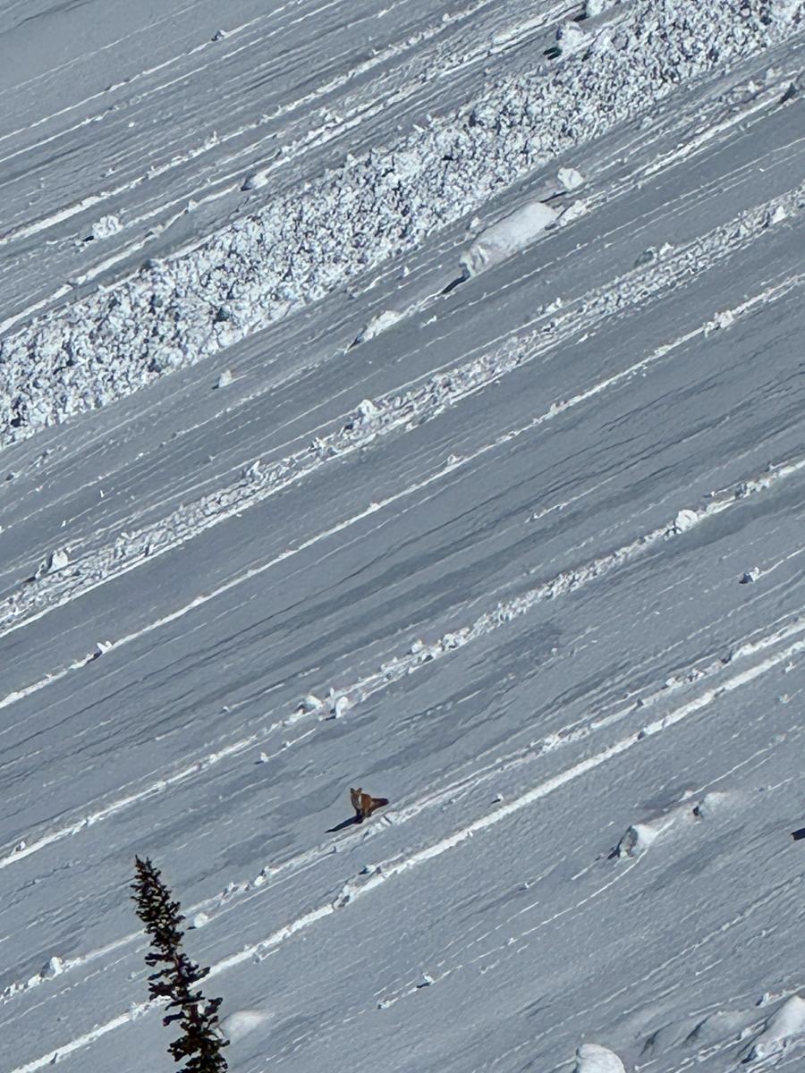
Photo of a fox giving some perspective to a wet loose debris pile on a west facing slope at 9,900'
Today's Observed Danger Rating
Low
Tomorrows Estimated Danger Rating
None
Coordinates