
Observation Date
3/29/2025
Observer Name
Kelly, Evatt
Region
Salt Lake » Little Cottonwood Canyon » White Pine
Location Name or Route
White Pine
Comments
Photo of a large rollerball that was 6' x 6' on a steep northeast facing slope at 9,000' in elevation, this was from a few days ago. We also observed old wet loose avalanches on west, east and southeast facing slopes.
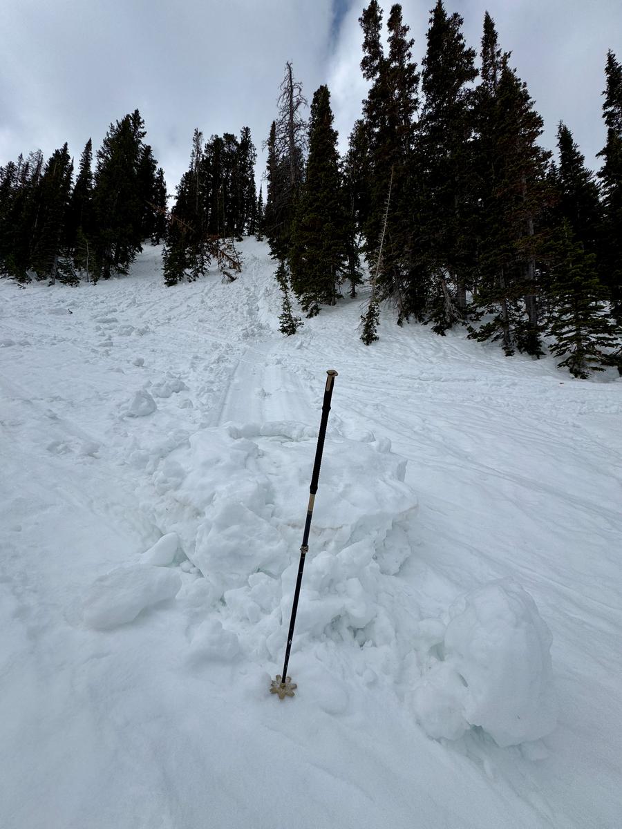
Photo of an east facing cornice lined ridgeline, 10,400' in elevation
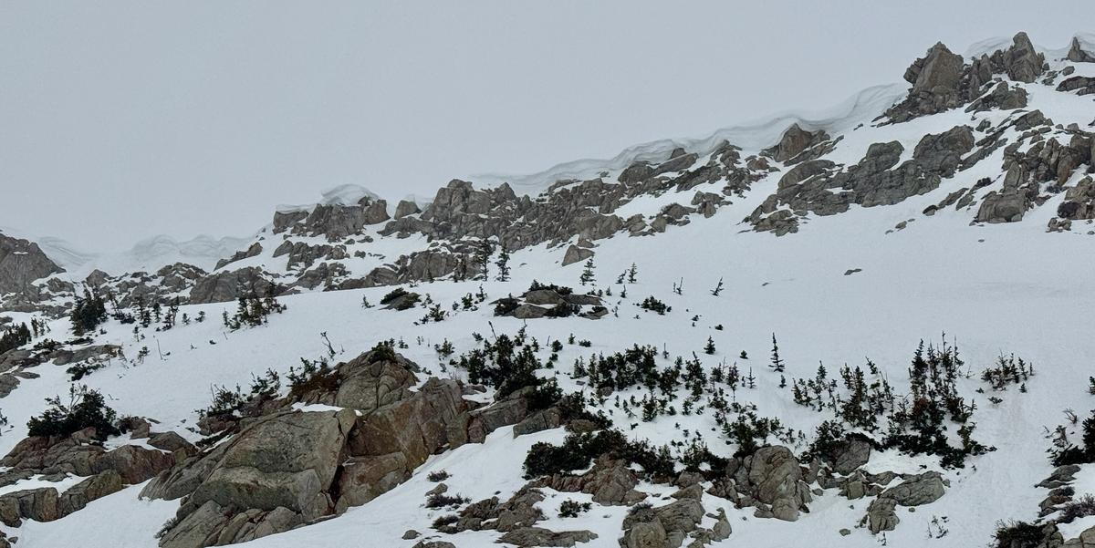
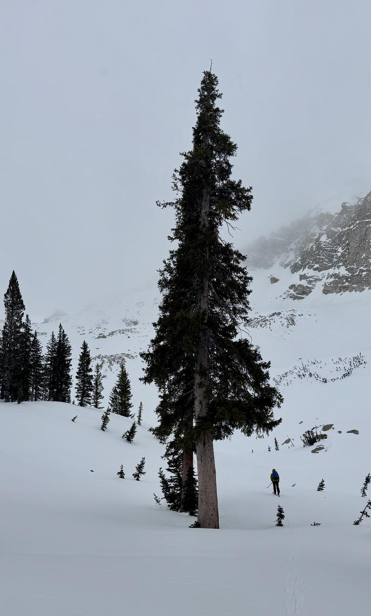
Photo showing overcast to obscured skies in upper White Pine Drainage
Today, we had low expectations for what we might find in the backcountry. We found supportable conditions on all aspects and elevations from 7,700'-11,000'. Due north above 10,000' was a soft old snow surface with thin wind board crust that was breakable, but didn't impact ski turns. The new snow bonded well to all the old snow surfaces where traveled. Temperatures increased as we lost elevation, but it was snow the entire time. In the upper elevation terrain the new snow was rimed and we talked about how there might be a chance of lightning today with the frontal passage and were ready to back off the exposed ridgelines before snowfall rates increased.
Today, where we traveled we found an overall LOW danger with the primary concerns being new snow and wind-drifted snow and there wasn't enough new or wind-drifted snow during our tour to elevate the danger.
Today, where we traveled we found an overall LOW danger with the primary concerns being new snow and wind-drifted snow and there wasn't enough new or wind-drifted snow during our tour to elevate the danger.
Today's Observed Danger Rating
Low
Tomorrows Estimated Danger Rating
None
Coordinates


