
Observation Date
3/8/2025
Observer Name
Talty, Coyne, Stevens, G.
Region
Salt Lake » Little Cottonwood Canyon » Red Pine
Location Name or Route
Red Pine Fork
Comments
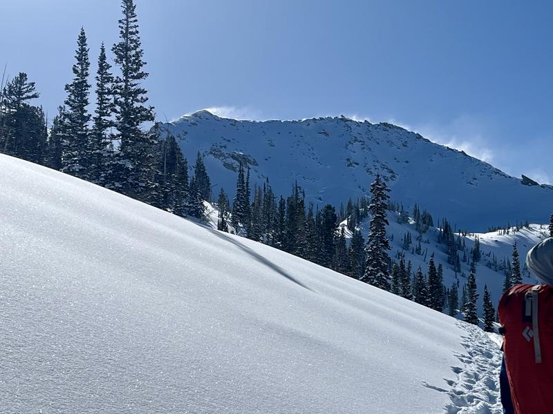
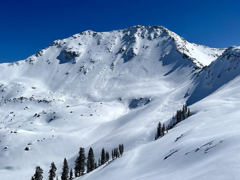
This morning we traveled up Red Pine to see how the new snow was behaving. We saw evidence of large avalanches that had occurred over the last two days, but during the cold morning hours, stability seemed fair and the recent snow was bonding well. Stability was rapidly decreasing on slopes after they had been exposed to the sun for a few hours. At upper elevation ridgelines, N-NW winds were drifting snow in most directions.
Flagging along ridgelines
Recent wind drifting and an old hard slab avalanche on a NW face on White Baldy that likely occurred early morning 3/7 or 3/6.
Today's Observed Danger Rating
Considerable
Tomorrows Estimated Danger Rating
Moderate
Coordinates


