Observation Date
2/22/2025
Observer Name
Chris Benson
Region
Moab » Manns Peak
Location Name or Route
North Group - Mann's Peak to Pilot
Weather
Sky
Clear
Wind Speed
Calm
Weather Comments
Beautiful day. Westerly winds 5-10 mph in the afternoon
Snow Characteristics
Snow Surface Conditions
Powder
Wind Crust
Melt-Freeze Crust
Rain-Rime Crust
Damp
Snow Characteristics Comments
South aspects NTL had ~2 cm crust that was supportive in the morning. In the alpine, winds have blasted west, northwest and most north aspects. Snow textures ranged from slippery rime-crusts to grippy orange peel. Booting was fairly easy due to supportive snow.
Red Flags
Red Flags
Collapsing
Rapid Warming
Poor Snowpack Structure
Red Flags Comments
Observed a few roller balls later in the day. Got one collapse on a shady west aspect BTL.
Avalanche Problem #1
Problem
Persistent Weak Layer
Trend
Decreasing Danger
Problem #1 Comments
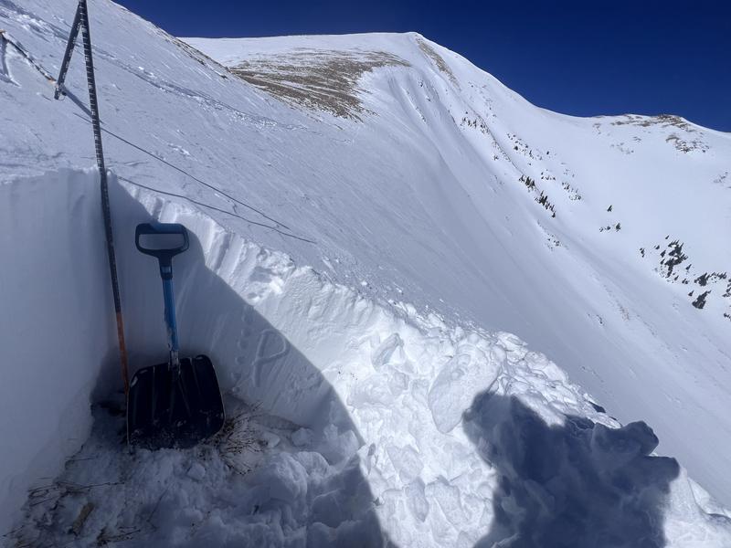
Dug a pit on a North aspect ATL. It seems that most of the snow prior to Feb 14th was removed, with only about 20 cm of facets/ depth hoar at the bottom. The Feb 14 storm seemed to be well bonded in this location. I would guess in other areas ATL where there was more old-weak snow, that I could have gotten some results.
Snow Profile
Aspect
North
Elevation
11,700'
Slope Angle
29°
Comments
Not much to see in the profile. A stout wind/storm slab on top of some facets/Depth Hoar that has undergone some bonding during the early Feb warm spell.
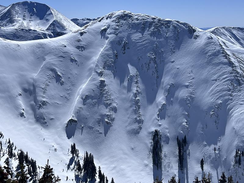
North east aspect in the Dry Fork of Mill Creek. Winds from the NW, and North have built slabs via cross loading.
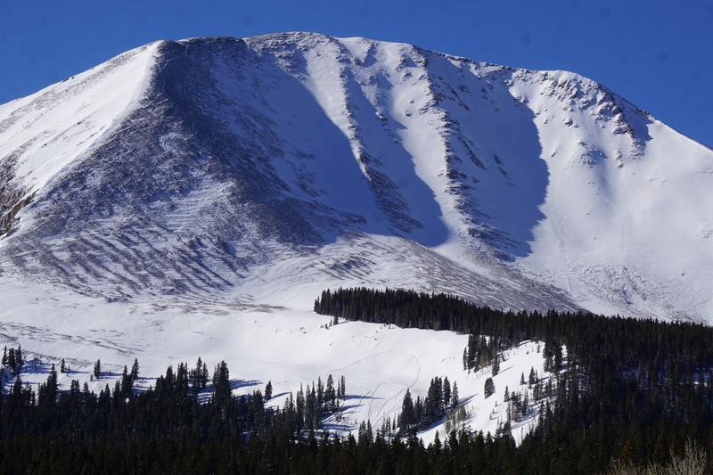
Snowmachine high mark in Colorado Bowl. North face of Mt. Mellenthin in the background.
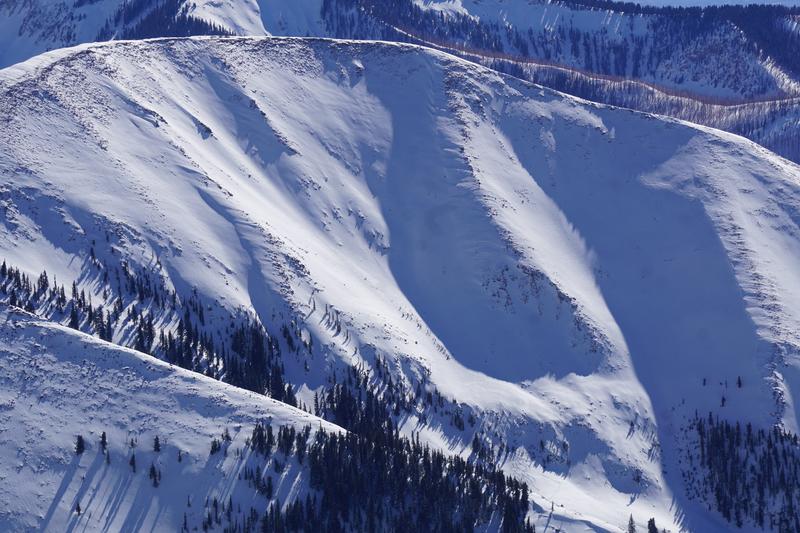
North Face of Haystack. Note ski turns on lower angle terrain at the bottom.
Today's Observed Danger Rating
Moderate
Tomorrows Estimated Danger Rating
Moderate
Coordinates