Observation: Laurel Highway

Observation Date
2/12/2025
Observer Name
Ryan Huels
Region
Moab » Laurel Highway
Location Name or Route
Laurel Highway
Weather
Sky
Clear
Wind Speed
Light
Weather Comments
It was cold at the Gyeser Pass Winter Trailhead with temps around 10 degrees. Winds were absent to light out of the SW in the morning and gradually increased throughout the morning. Just below the Laurel Weather Station the winds remained very light. Winds will increase tomorrow out of the southwest tomorrow ahead of a major system coming our way which should bring some much needed snow to the mountain range. Snow looks to be heavy starting Thursday night through Friday.
Snow Characteristics
New Snow Depth
2"
New Snow Density
Low
Snow Surface Conditions
Powder
Faceted Loose
Wind Crust
Melt-Freeze Crust
Snow Characteristics Comments
The snow conditions are very poor out there around the entire compass at all elevations. Below 10500 there is a stout melt freeze crust covered by a few inches of fresh snow on all aspects. There is still some loose faceted snow on Northerly aspects but quality turns are very few and far between. Above treeline there is a mix of hard snow and new, soft snow with drifts 2-4" deep in sheltered areas. Even in the North Woods at upper elevations the snow is punchy in areas from our past warming trend. Below the firm crust around the compass made by wind and sun the snowpack is weak, facted and lacks structure. Steep northerly aspects at and below treeline that have turned to a pile of sugar are what I will be watching with new snow inbound.
Red Flags
Red Flags
Wind Loading
Cracking
Poor Snowpack Structure
Red Flags Comments
Below our firm snowpack lies weak faceted snow. Cracking was only isolated today. There are areas above treeline in steep terrain where new wind blown snow has settled that could pose risk for small avalanches in addition to loose dry avalanches in steep northerlies. While the snowpack does feel very hard, below the several centimeter knife hard crust lies weak sugary snow unlike the typical melt freeze crust you would experience in spring like conditions.
Avalanche Problem #1
Problem
Wind Drifted Snow
Trend
Increasing Danger
Problem #1 Comments
2" of new snow that has formed drifts 2-4" deep above treeline on the new snow/old snow interface. Winds increasing tonight and tomorrow could create larger drifts.
Avalanche Problem #2
Problem
Persistent Weak Layer
Trend
Same
Problem #2 Comments
I am not concerned about our PWL now but I will be come Friday morning.
Snow Profile
Aspect
Southwest
Elevation
10,700'
Slope Angle
17°
Comments
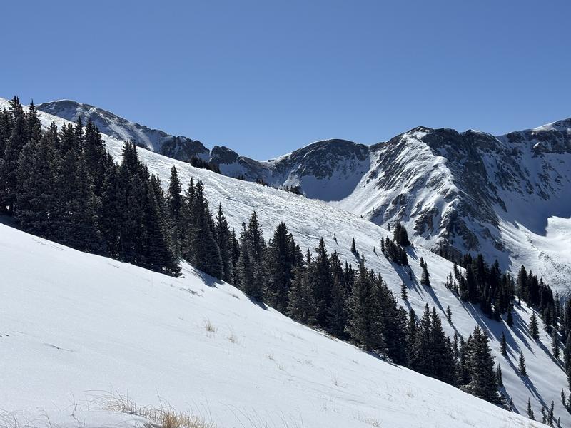
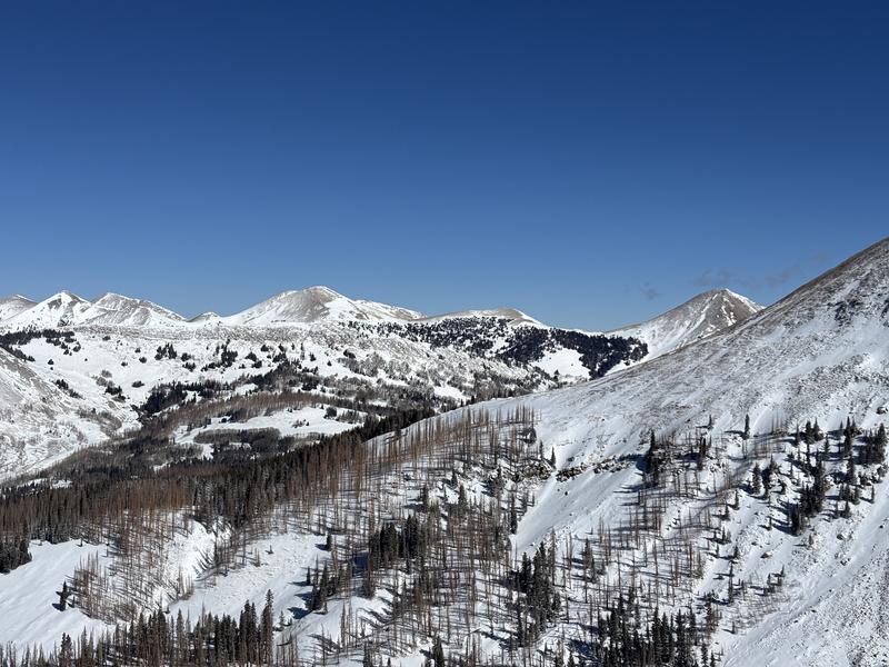
Evidence of weak layers on SW facing terrain below treeline where there is snow still deep enough to ski/ride.
Mix of hard and soft wind drifted snow above the alpine
SW-W facing terrain is thin
Today's Observed Danger Rating
Low
Tomorrows Estimated Danger Rating
Low
Snow Pilot URL