Observation Date
2/2/2025
Observer Name
Pagnucco
Region
Logan » Garden City Canyon » Garden City Bowls
Location Name or Route
Garden City Bowls
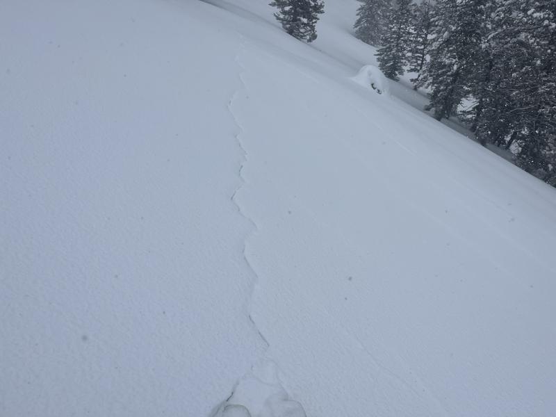
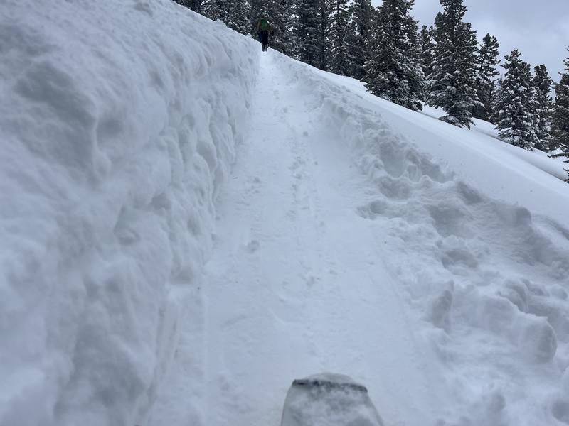
Comments
Forecast verified today despite lower than forecast water/snow numbers due to widespread weak snow surface, strong winds, and warming temperatures.
1. Shooting cracks
Video
Today's Observed Danger Rating
High
Tomorrows Estimated Danger Rating
Considerable
Coordinates