Observation Date
1/23/2025
Observer Name
Gagne
Region
Salt Lake » Parleys Canyon » Mt Aire
Location Name or Route
Mt. Aire
Weather
Sky
Clear
Wind Speed
Calm
Snow Characteristics
Snow Surface Conditions
Faceted Loose
Wind Crust
Melt-Freeze Crust
Snow Characteristics Comments
Well, at least uphill travel is easy.
HS (height of snow):
6,500' 45 cms
7,000' 60 cms
8,000' 90 cms
Wind-affected snow is above 7,200'
On slopes that aren't wind-affected, the snow surface is faceted and will be a potential weak layer with any load of new snow and/or wind-drifted snow.
Red Flags
Red Flags
Poor Snowpack Structure
Red Flags Comments
Still finding poor structure in thinner snowpack areas, but there currently is not a stronger slab on top of the PWL where I was traveling today.
Avalanche Problem #1
Problem
Persistent Weak Layer
Trend
Same
Avalanche Problem #2
Problem
Wind Drifted Snow
Trend
Decreasing Danger
Problem #2 Comments
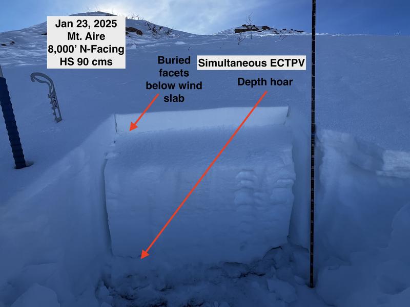
Pencil-hard wind slabs 5-15 cms (2-6") thick, sitting on top of a layer of preserved faceted snow. I jumped on several wind-loaded slopes and despite the weak snow underneath the slab would only crack around my skis and not propagate.
Snow Profile
Aspect
North
Elevation
8,000'
Slope Angle
29°
Comments
Mt. Aire/Lambs Canyon is typically a thinner snowpack area and it didn't disappoint as I found widespread weak snow below 8,500' (my highest elevation.) The pit profile shown above shows the poor structure, but overall there isn't a strong and connected slab on top of the facets, so the PWL problem is dormant (for now). But this is the type of shallow terrain which will be more problematic once we put a load on top.
Photos snowpit and profile.
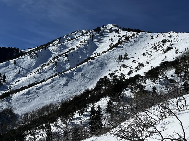
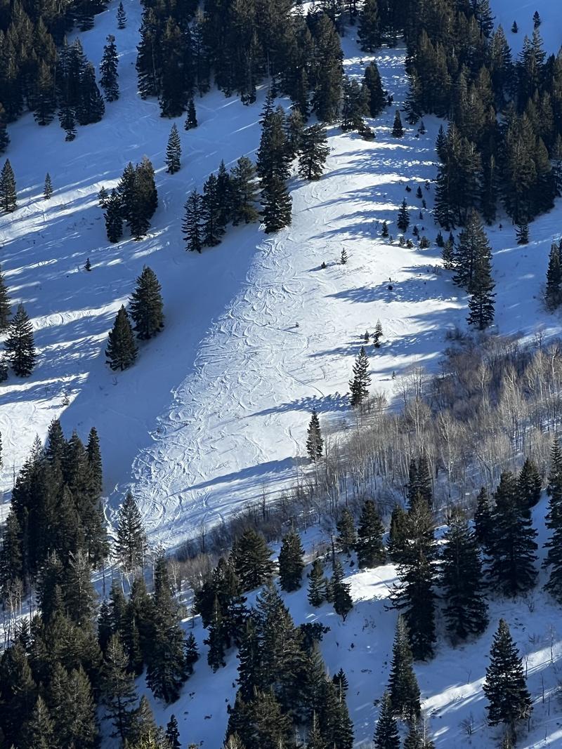
Photos of
- tracks on Mt. Aire
- widespread sastrugi
- raised tracks in Lambs Canyon
Today's Observed Danger Rating
Low
Tomorrows Estimated Danger Rating
Low
Snow Pilot URL


