Join us at our 2nd Annual Blizzard Ball

Observation: Mt Nebo Loop Road

Observation Date
1/11/2025
Observer Name
Kelly, Manship, Smith
Region
Provo » Mt Nebo Loop Road
Location Name or Route
Mt Nebo Loop Road
Weather
Sky
Overcast
Precipitation
Light Snowfall
Wind Direction
West
Wind Speed
Moderate
Weather Comments
Winds were moderate from the west on exposed ridgelines and above 8,500' in elevation. Light snow fell throughout the day. Temperatures were cold with nearby weather station at 8,000' in the low 20's °F and it felt much colder at elevation and in the wind zone.
Snow Characteristics
New Snow Depth
4"
New Snow Density
Low
Snow Surface Conditions
Powder
Wind Crust
Snow Characteristics Comments
Snow surface was 4" of new low density snow in protected areas and soft wind drifts or scoured in other locations. Nearing 9,200' in elevation there were exposed east facing slopes with old stiff wind drifts near ridgelines.
Red Flags
Red Flags
Poor Snowpack Structure
Avalanche Problem #1
Problem
Persistent Weak Layer
Problem #1 Comments
Dry loose facets near the ground on east and north facing aspects. With a thinner snowpack there were many places where it was difficult to travel without hitting down stumps, trees, and rocks. Higher elevation zones held loose dry facets near the ground but the slab was supportable enough in most places that we weren't sinking through to those facets near the ground. Steeping off the snowmobile in thinner areas (less than 2') it was easy to posthole right to the ground. We observed no cracking, collapsing, or whumpfing.
Avalanche Problem #2
Problem
Wind Drifted Snow
Problem #2 Comments
Shallow new snow drifts on east facing slope above 9,000' (photo below)
Snow Profile
Aspect
Northwest
Elevation
9,200'
Slope Angle
22°
Comments
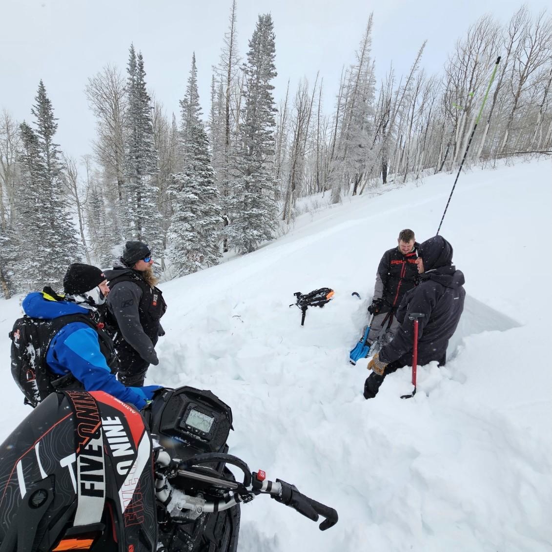
Snowpit on a northwest facing slope at 9,170' in elevation. Height of snow was 39" (100cm). There were a series of density changes in the the top 12" of the snowpack but no results on these layers with stabiliity tests. The layer of concern was 10" (25cm) from the ground in the middle of a layer of dry loose faceted grains that were showing no signs of rounding. We didn't get propagation until later (28 and 32 taps). Based on these results and the thin snowpack we stayed away from slopes over 30 ° in steepness.
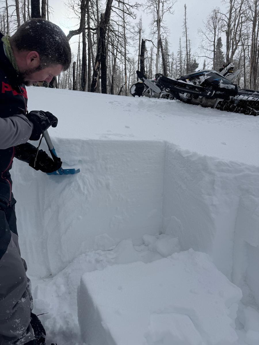
Quick hand pit showed thin snowpack with very weak snow. This east facing slope was on a steep roll (greater than 35 °) but did not have enough of a slab to create an avalanche and is the type of place I would watch as we add more snow and wind.
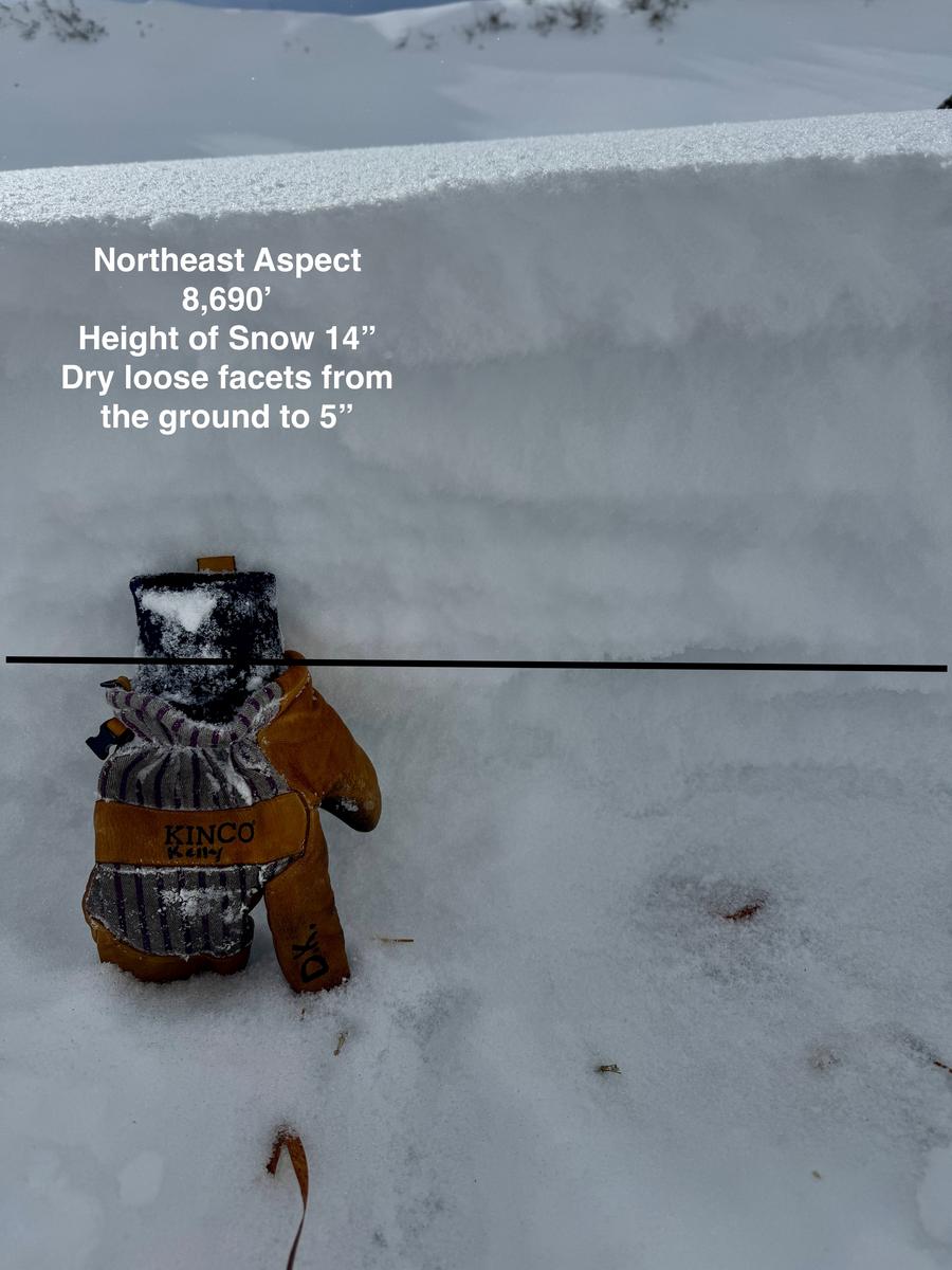
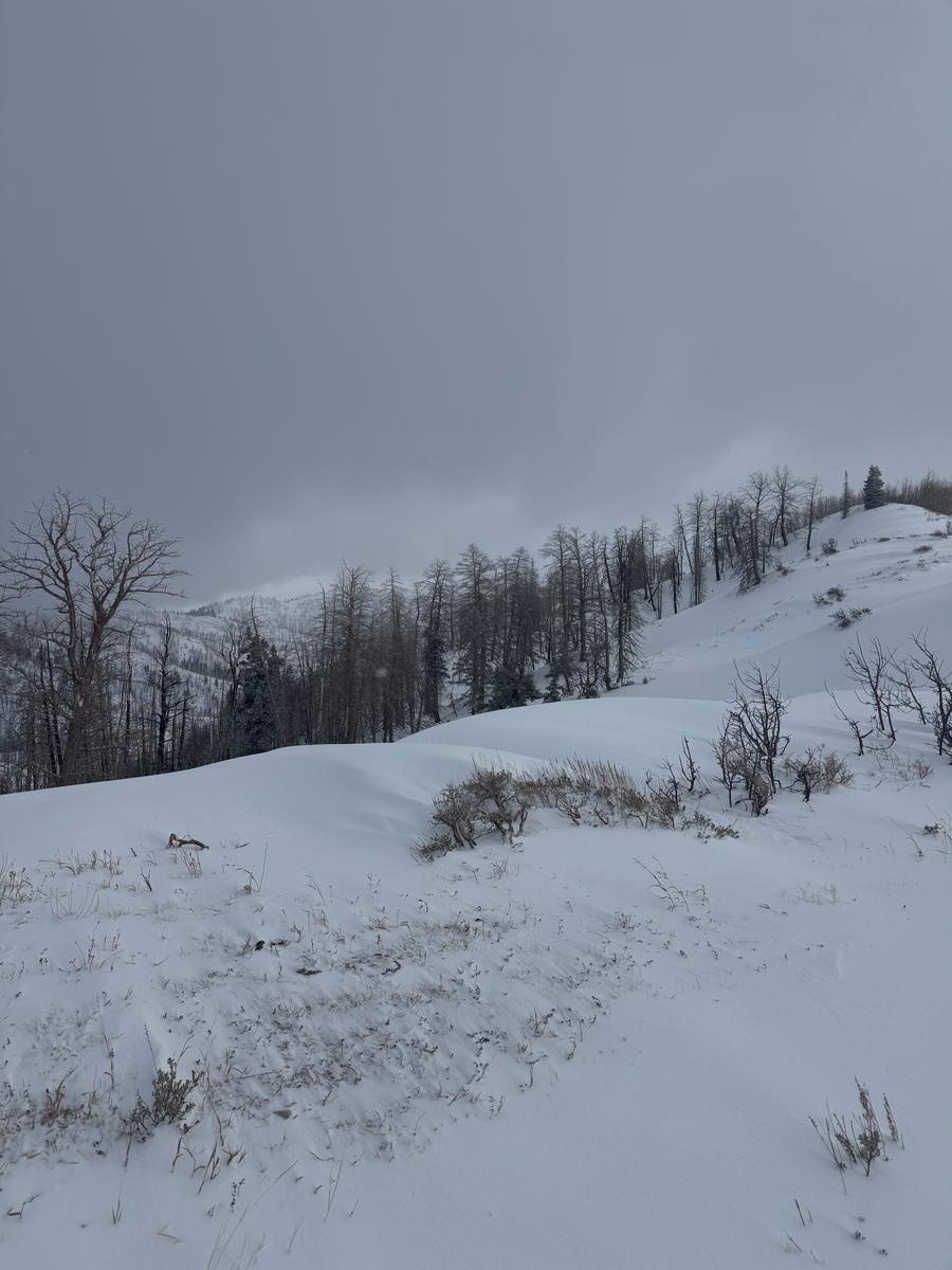
Photos of snow coverage in burn zone and wind scoured ridge at 8,500'.
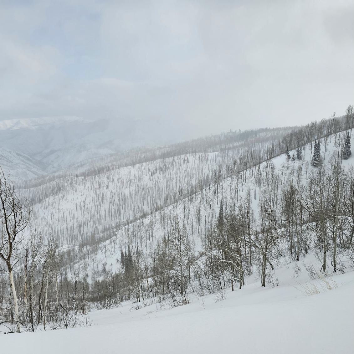

Overall Moderate avalanche danger in mid elevations. We stayed out of the high elevation terrain. Lower elevations in this areas did not have enough snow to pose much of a hazard, although we avoided terrain under steep west-north-east facing avalanche paths or in terrain traps, like stream beds or gully features.
Today's Observed Danger Rating
Moderate
Tomorrows Estimated Danger Rating
Moderate
Coordinates