Join us at our 2nd Annual Blizzard Ball

Observation: Bountiful Ridge

Observation Date
1/11/2025
Observer Name
Daniel Turner
Region
Salt Lake » Session Mountains » Bountiful Ridge
Location Name or Route
Bonneville Peak Area
Weather
Sky
Overcast
Precipitation
Light Snowfall
Wind Direction
Northwest
Wind Speed
Moderate
Weather Comments
The weather was blustery and cold on the ridgelines with poor visibility.
Snow Characteristics
New Snow Depth
6"
New Snow Density
Low
Snow Surface Conditions
Powder
Snow Characteristics Comments
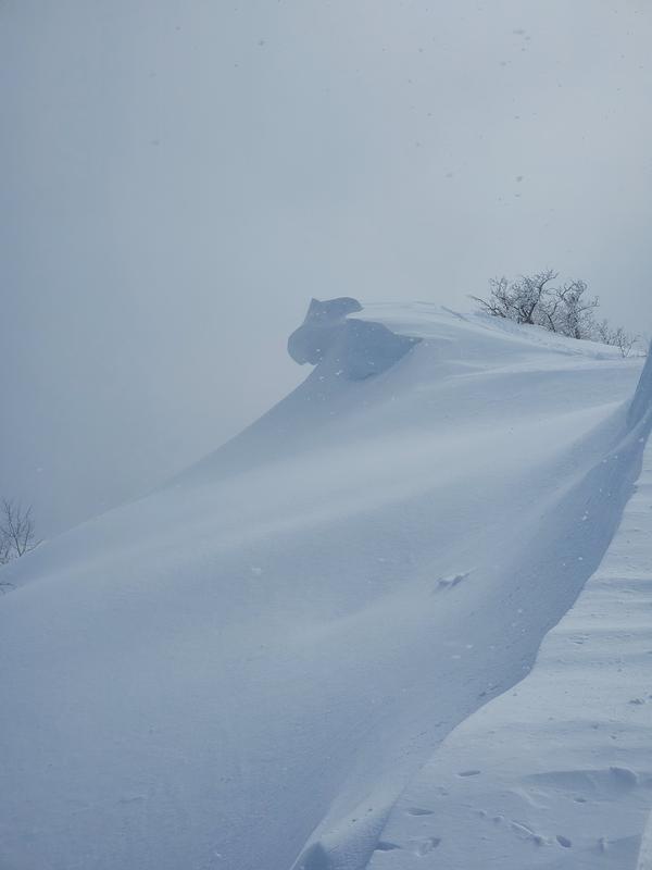
Overnight new snow was 13cm of low-density powder. The top 25" was great powder riding. The moderate to high winds from the NW were transporting large amounts of snow. Cornices are growing rapidly.
Red Flags
Red Flags
Wind Loading
Poor Snowpack Structure
Red Flags Comments
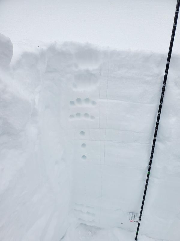
At 159cm of snow in this area, the persistent weak layer is healing well. In areas of shallow snow the PWL will be lurking and reactive.
Avalanche Problem #1
Problem
Wind Drifted Snow
Trend
Increasing Danger
Problem #1 Comments
There is plenty of new snow for transport and loading is actively happening. See cornice photos
Avalanche Problem #2
Problem
Persistent Weak Layer
Trend
Increasing Danger
Problem #2 Comments
The PWL is still lurking. In areas of deeper snow over 100cm it is healing well however in shallow snowpack the PWL is alive and becoming more reactive with this storm's loading.
Snow Profile
Aspect
Northeast
Elevation
8,200'
Slope Angle
13°
Video
Video
Today's Observed Danger Rating
Considerable
Tomorrows Estimated Danger Rating
Considerable
Coordinates