Join us at our 2nd Annual Blizzard Ball

Observation: Twin Lakes Pass

Observation Date
1/5/2025
Observer Name
Kelly
Region
Salt Lake » Big Cottonwood Canyon » Twin Lakes Pass
Location Name or Route
Twin Lakes Pass
Weather
Sky
Overcast
Precipitation
Light Snowfall
Wind Direction
West
Wind Speed
Light
Weather Comments
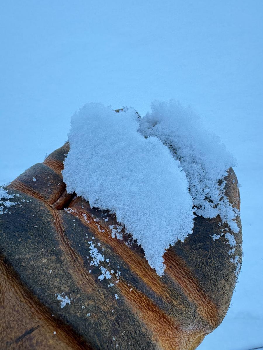
Light to moderate westerly winds. Light snowfall that was very rimed small diameter pellets. Earlier in the day was freezing rain/rime up to 9,100' in elevation that was more rain like.
Snow Characteristics
New Snow Depth
14"
New Snow Density
Medium
Snow Surface Conditions
Powder
Snow Characteristics Comments
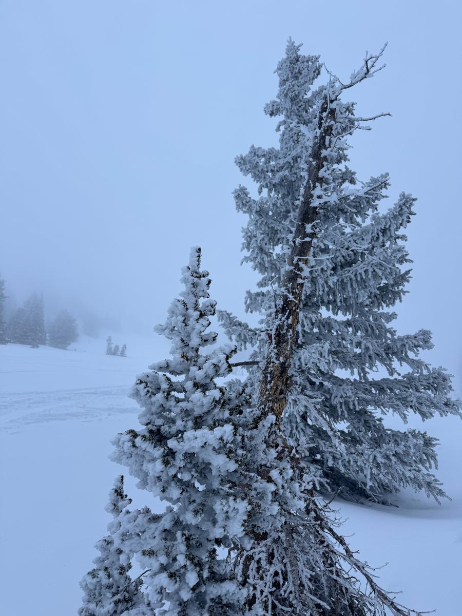
14" settled snow depth with a light rime crust on the surface. Rime crust was spotty above 9,300' and isolated to zones that were on the windward side. Crust noted all the way to 10,200' in elevation.
Avalanche Problem #1
Problem
Persistent Weak Layer
Comments
I observed a small avalanche with a setttled crown face of 14" (new snow) that was rider triggered on Saturday January 4th. This was on a southerly aspect at 9,100' and ran on a melt freeze crust. It was 40' in width and on a short test slope so really only ran 15' vertical.
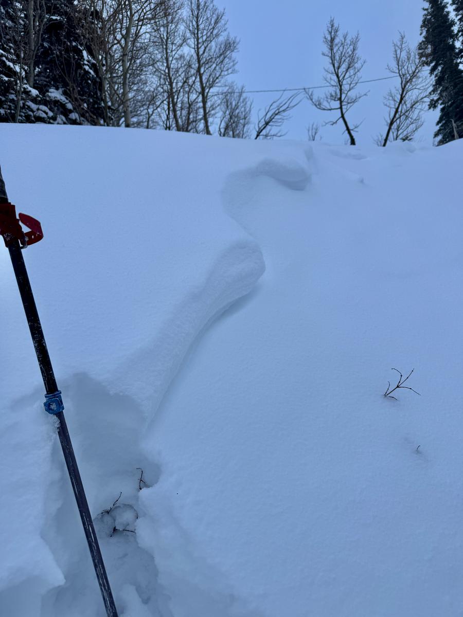
Photo of thicker rime crust at 9,400'
Rime on trees at 9,700' (isolated to the windward side
Today's Observed Danger Rating
Considerable
Tomorrows Estimated Danger Rating
Considerable
Coordinates